Clinton, Tennessee
Looking for the best chillin in Clinton? We've got you covered with the top trails, trips, hiking, backpacking, camping and more around Clinton. The detailed guides, photos, and reviews are all submitted by the Outbound community.
Top Chillin Spots in and near Clinton
-
Jamestown, Tennessee
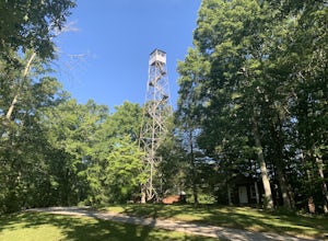
Explore Pickett State Fire Tower
This tower was built by the CCC in the 1930s. The tower is easy to climb and safer than most fire towers. The top of the tower is open so you can get a 360 degree view of the surrounding area. The tower is located within the Pickett State Park and is right on the side of the road and has easy acc...Read more -
Jamestown, Tennessee
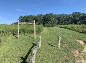
Stargaze at Astronomy Field
This Dark Sky Park is a part of the Pickett State Park. It was established in 2015. It is one of the only IDA registered dark sky parks in the east. I have been all over the United States stargazing and this is still one of the best spots I have been to. The astronomy field offers a free and easi...Read more -
Jamestown, Tennessee
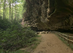
Hike to Indian Rockhouse
0.4 mi / 65 ft gainThis hike is a great, short hike for all ages. It shows the sandstone formation of the area very well and features a large cliff, an overhang, and a small stream at the bottom. The hike is only 0.4 of a mile total and has a small elevation change. It is probably the easiest hike in this area. Th...Read more -
Jamestown, Tennessee
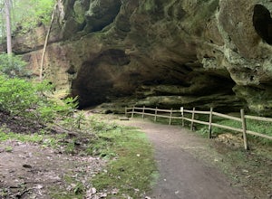
Hazard Cave Loop
5.01.51 mi / 210 ft gainHazard Cave is a gorgeous very large sandstone formation. The hike is located in Pickett State Park which is right next to Big South Fork National Recreation Area. This hike is the shortest option to get to Hazard Cave. If you are looking for a longer hike you can take the entire loop hike to get...Read more -
Jamestown, Tennessee
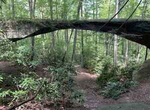
Natural Bridge Loop
1.05 mi / 148 ft gainThis trail is located in Pickett State Park which is a close neighbor to Big South Fork National Recreation Area. This is one of the many trailheads that connect to the Natural Bridge loop however, this trailhead is the closest to the natural bridge. From the road it is only a few hundred feet wa...Read more -
Grandview, Tennessee
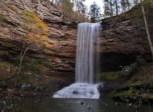
Hike to Piney Falls
5.01.5 mi / 500 ft gainThe gravel road heading to the trailhead is on the rougher side to take it slow. When you get to the trailhead it’s a small gravel pull off right off the road. There are no maps at the trailhead but there are only a few trails to take and they are marked with a blue marker. To get to the upper fa...Read more -
Robbinsville, North Carolina
Hike the Big Fat Gap Trail
12 mi / 3000 ft gainThere are many trailheads leading into the wilderness on either the Tennessee or North Carolina side. My favorite is the Big Fat Gap trail on the North Carolina side at an elevation of 3,060'. To see the best of what this area has to offer take the Hangover Lead South Trail to the 5,180' Hangover...Read more -
Vonore, Tennessee
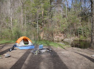
Camp at Citico Creek
5.0There are a few options for getting to Citico Creek, you can either go up the windy gravel road from US 411 or get off of the Cherohala Skyway and go down the mountain past the Indian Boundary campground. The Citico Creek campground has about 5 or 6 spots but is rarely full because it is very sec...Read more

