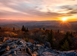
Bristol, Tennessee
Looking for the best photography in Bristol? We've got you covered with the top trails, trips, hiking, backpacking, camping and more around Bristol. The detailed guides, photos, and reviews are all submitted by the Outbound community.
Top Photography Spots in and near Bristol
-
Unicoi, Tennessee
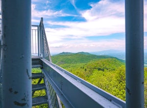
Pinnacle Mountain Fire Tower via Fire Tower Road
5.03.47 mi / 663 ft gainPinnacle Mountain hosts one of the nicest fire towers on the East Coast of the United States. The fire tower is relatively new, sturdy, and has a large 360 degree viewing area at the top. The tower overlooks the Downtown Johnson City area, Elizabethton, Erwin, and the rest of the Buffalo Mountain...Read more -
Unicoi, Tennessee
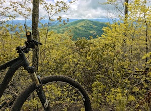
Pinnacle Mountain Trail
8.81 mi / 2700 ft gainPinnacle Mountain is a long, grinding climb to the top. The singletrack winds up 1,500 feet of elevation for nearly 5 miles with few downhill sections. Once at the top, take a rest and climb the fire tower that overlooks the Downtown Johnson City area, Elizabethton, Erwin, and the rest of the Buf...Read more -
Duffield, Virginia
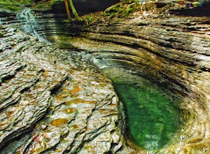
Hike the Devil's Bathtub
5.03.96 mi / 250 ft gainThe Devil’s Bathtub is a deep pool of blue-green water known for being a great swimming hole and a beautiful natural feature. This hike is a 3.2 mile out and back hike with 250 feet elevation gain. There are at least 15 stream crossings, so extreme caution should be taken during periods of mediu...Read more -
Elk Park, North Carolina
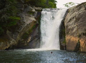
Elk River Falls
4.60.35 mi / 62 ft gainThe coordinates for the parking area are 36.198288, -81.970137. You'll see a parking area that's dirt/gravel on the right side of the road. At the far end of the parking lot is a sign that says Elk River Falls with an arrow pointing up the hill. From this point its about a .2 mile long walk to th...Read more -
Appalachian Trail, Tennessee
Jones Falls via Appalachian Trail
5.010.65 mi / 2484 ft gainStarting at the Appalachian Trail (AT) trailhead at US 19E, follow the AT north for 3.1 miles until you reach the intersection of the trail with Buck Mountain Rd. This section of the AT has an elevation gain of almost 1000 ft, and large sections of trail with significant meadows offering magnific...Read more -
Unicoi, Tennessee
Camp at Unaka Mountain Overlook
4.00.1 miUnaka Mountain Overlook is one of the highest locations in the Cherokee National Forest. Easily accessibly by vehicle, the overlook towers over the surrounding mountains, including Beauty Spot Gap, and is an ideal spot to camp overnight. Take Rock Creek Road until you meet the border of North Car...Read more -
Todd, North Carolina
Hike the Elk Knob Summit Trail
5.03.8 mi / 1000 ft gainThere are no bathrooms at the trailhead, so if needed, drive a little past it to the park bathrooms on the left. Park at the summit trailhead and start your hike on the new gravel path. The trail gains 1000 ft in elevation in just under 2 miles so take your time if need be - and bring plenty of w...Read more -
Newland, North Carolina
Big Hump Mountain via the Appalachian Trail
4.57.83 mi / 2021 ft gainTowering over Little Hump Mountain, Big Hump Mountain offers one of the clearest views on the Appalachian Trail. Big Hump Mountain is located in the Roan Highlands North of Bradley Gap. This peak is not as traveled as other popular hikes in the area despite its massive size because of the intense...Read more -
Newland, North Carolina
Hike to Bradley Gap along the Appalachian Trail
4.6 mi / 1339 ft gainBradley Gap rests along the Appalachian Trail overlooking North Carolina and Tennessee mountains. Part of the Roan Highlands, Bradley Gap can be accessed via Yellow Mountain Gap Trailhead. Follow the Roaring Fork Trail from the trailhead until you intersect the Appalachian Trail (White Blaze) app...Read more -
Roan Mountain, Tennessee
Roan Highlands: Carvers Gap to US 19E via Appalachian Trail
5.015.47 mi / 2598 ft gainThe Roan highlands, possibly one of the best sections of the Appalachian Trail, is a section of grassy balds that range from 5000-6000 feet following the A.T. Start at Carvers Gap ( Highway 261 NC / Highway 143 TN) on the TN/NC border. You can either leave a car at Highway 19E or arrange for a s...Read more -
Bakersville, North Carolina
Grassy Ridge Bald in the Roan Highlands
5.04.84 mi / 932 ft gainOnce you've parked at Carver's Gap (5500'), the trailhead is pretty easy to find. Simply cross the highway and jump onto the Appalachian Trail, right on the border of North Carolina and Tennessee. Head north on the AT as you head through the Roan Mountain Balds. In the very beginning of the hike,...Read more -
Bakersville, North Carolina
Hiking from Carver's Gap to Hwy. 19 on the AT
5.020.7 miThe AT from Carver's Gap to HWY 19 is about 14.5 miles, but with side adventures, it could be roughly 20 miles. The trail crosses the road and continues up about a 400 ft. elevation gain to the first of the balds. This section of the AT is beautiful at near 6000 ft. above sea level and you will g...Read more -
Creston, North Carolina
Three Top Mountain
4.2 mi / 1260 ft gainThree Top Mountain sits within the same vicinity of Elk Knob. The mountain gets its name from its three prominent rock projections at its peak. The highest point, unofficially named “Big Rock”, is at an elevation of 5020 feet. Prior to the originally named rock peak, you will arrive at Huckleb...Read more -
Green Mountain, North Carolina
Hike to Beauty Spot Gap
5.02.13 mi / 1277 ft gainBeauty Spot Gap is located on the Appalachian Trail on the border of North Carolina and Tennessee. The bald offers a panoramic view of Cherokee National Forest and the city of Erwin. This is a popular destination for hikers of the AT to set up camp and watch the sunset. From the Tennessee side, t...Read more -
Mouth of Wilson, Virginia
Mount Rogers Loop
5.015.6 mi / 1079 ft gainFor an awesome 2-3 day trip, start hiking at the Massie Gap trailhead, which can be reached from Grayson Highlands State Park. Take the Rhododendron Trail up the ridge to connect with the AT, keeping an eye out for wild ponies in the Massie Gap area as they like to hang out here. Some of these po...Read more -
Mouth of Wilson, Virginia
Twin Pinnacles via Big Pinnacles Trail
5.02 mi / 525 ft gainTo reach the Big Pinnacle Trail Head, park at the Massie Gap Day Parking area, and then follow the road west (away from Massie Gap) until you reach the trail head located on the left side of the road. Follow the Big Pinnacles Trail for 0.4 miles until it intersects with the Twin Pinnacles Trail....Read more

