Blountville, Tennessee
Looking for the best chillin in Blountville? We've got you covered with the top trails, trips, hiking, backpacking, camping and more around Blountville. The detailed guides, photos, and reviews are all submitted by the Outbound community.
Top Chillin Spots in and near Blountville
-
Newland, North Carolina
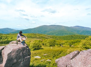
Hike to Bradley Gap along the Appalachian Trail
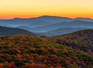
4.6 mi / 1339 ft gainBradley Gap rests along the Appalachian Trail overlooking North Carolina and Tennessee mountains. Part of the Roan Highlands, Bradley Gap can be accessed via Yellow Mountain Gap Trailhead. Follow the Roaring Fork Trail from the trailhead until you intersect the Appalachian Trail (White Blaze) app...Read more -
Greeneville, Tennessee
Hike to Margarette Falls
5.02.7 mi / 715 ft gainTo reach the trail head, take exit number 39 to Erwin/Jonesborough and turn onto State Route 81/107 west and stay on this for 6.5 miles. Then you will turn left to stay on Route 107 and continue on for 16 more miles. Then you will take a left on Route 351 and drive 4.5 miles. Then you will take a...Read more -
Newland, North Carolina
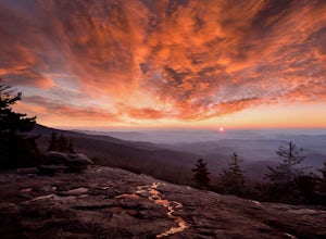
Beacon Heights Overlook
5.00.71 mi / 105 ft gainBeacon Heights is the perfect hike when you're on the Blue Ridge Parkway near Linville and Grandfather Mountain, Milepost 305.2. The trail is a steady climb uphill for less than a half mile. The last section being fairly steep and rocky. Once at the top, there are several rock outcroppings, but...Read more -
Banner Elk, North Carolina
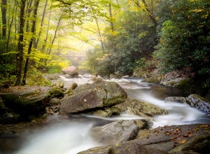
Explore Boone Fork Creek
0.25 mi / 75 ft gainBoone Fork Bridge and creek is situated at the base of Grandfather Mountain, on the Blue Ridge Parkway, milepost 299.9. Elevation 3905'.The trailhead is at the left side of Boone Fork Creek parking area and the trail is a gentle meander through Rhododendrons and a hardwood forest.As you head tow...Read more -
Linville, North Carolina
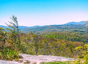
Hike the Flat Rock Trail (NC)
5.00.6 miFlat Rock Trail is located off the Blue Ridge Parkway at milepost 308. There is a pull-off from the Parkway with a sign designating the location. There are several picnic tables around the pull-off, but I would recommend taking your lunch up to Flat Rock. The wide, clear trail is practically flat...Read more -
Blowing Rock, North Carolina
Camp and Paddle at Price Lake
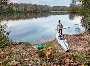
This campground is all kinds of amazing, and if you get one of the sites in the A loop, you will have lakefront property (just be warned, if I see you there, I'll have to crash with you ;-). Price Lake is a gorgeous lake right off the Blue Ridge Parkway in North Carolina and perfect for canoeing...Read more -
Mouth of Wilson, Virginia
Photograph Wild Horses at Grayson Highlands State Park
4.61.8 mi / 306 ft gainThe wild horses gather on top of the bald at the end of Horse Trail North located in Grayson Highlands State Park. Because they are wild, it is important to remember not to touch or feed the horses. The horses are accustomed to hikers and will allow you in their near proximity, but bring a zoom l...Read more -
Linville, North Carolina
Take in the View at the Chestoa View Overlook
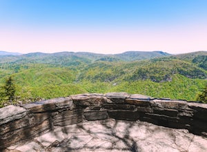
5.00.1 miChestoa View Overlook is an extremely short hike located down a pull-off at milepost 320 of the Blue Ridge Parkway. Park your vehicle in a designated spot then intercept the trail to the left of the lot. The trail will slowly descend down into a stone overlook. The panoramic view showcases the be...Read more -
Mouth of Wilson, Virginia
Photograph Sugarland Overlook
Located just inside the park entrance of Grayson Highlands State Park in Virginia, Sugarland Overlook provides an outstanding easterly view of the surrounding Blue Ridge Mountains. The Sugarland Overlook is located about a mile up from the ranger station and is on the righthand side of the road....Read more -
Hot Springs, North Carolina
Camp at Rich Mountain Fire Tower
5.0Rich Mountain fire tower is located in the Cherokee National Forest just outside of Hot springs North Carolina. Getting there is pretty easy once you get off of US 25W you drive up a gravel road for about 5 miles until you get to the tower. Once you get to the top its about a 100 foot walk until ...Read more

