Travelers Rest, South Carolina
Top Spots in and near Travelers Rest
-
Brevard, North Carolina
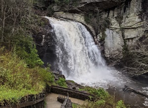
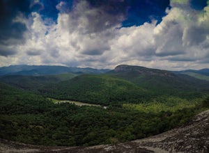
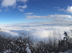
Looking Glass Rock located along the Blue Ridge Parkway (North) is one of the largest masses of granite in the Eastern US. It got it's name for the way the sunlight hits its rocky surface when wet, creating a shimmering, reflective, mirror-like effect. The views from this overlook are vast and cl...
Read more
-
Brevard, North Carolina
This 5 mile loop begins at the Pisgah Center for Wildlife Education and State Fish Hatchery near Brevard, NC. Ample parking is available adjacent to the trailhead with bathrooms and water accessible. Grab a map from inside as well.
To start the hike, look at the education center, to the left is t...
Read more
-
Brevard, North Carolina
4.3
1.28 mi
/ 223 ft gain
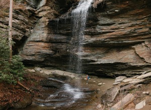
The hike relatively quick and has minimal elevation gain, making it a great hike for the family or a quick stop off if you're planning to do another hike in the same day. This part of the Pisgah National Forest is filled with scenic hikes.
Once you've parked your car, cross over the stream via a...
Read more
-
Lake Toxaway, North Carolina
4.5
3.91 mi
/ 778 ft gain
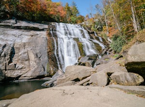
Rainbow Falls is one of the most scenic waterfalls in North Carolina's Blue Ridge Mountains. The Horsepasture River swells in the rainy season, dumping a cascade of water 150 feet. The plume of mist at the bottom creates a distinct rainbow effect, giving the falls its name. Hike to Rainbow Falls ...
Read more
-
Pisgah Forest, North Carolina
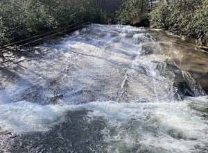
This natural mountain waterfall and slide in the Pisgah National Forest is a local favorite to cool off in and have a little fun during the warmer months. You can walk up the line to the top of the falls and have a quick wait as others go down this 60 foot boulder.
This water varies between 50-6...
Read more
-
Pendleton, South Carolina
Fant's Grove is part of Clemson University property and is housed inside of the southern end of the Clemson Experimental Forest. The property is managed by Clemson University, and the trail weaves through prescribed burned areas, loblolly pine stands, agriculture fields, wildlife openings and fee...
Read more
-
Hendersonville, North Carolina
Park at the end of The World's Edge Road, but be aware that parking is very limited. There is a private residence up to the right so do not block their driveway/gate. Begin your hike by going through the leftmost gate, and continue straight until you reach the first view less than half a mile in....
Read more
-
Brevard, North Carolina
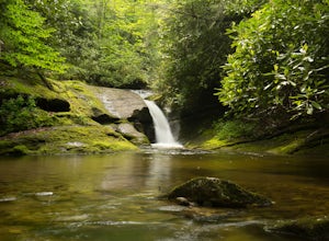
This easy 1.25 mile hike is located within the Lake Toxaway community. The trail itself follows a small creek as it winds through the valley. Be warned - there are numerous stream crossings. Most of the crossings are fairly easy at normal water levels, but can be difficult if the water is high. S...
Read more
-
Balsam Grove, North Carolina
First off, I want to say although the road is gravel it is accessible for 2WD cars you do not need a 4WD car to access this hike. The trail begins just over the bridge that crosses Panther Branch Creek. Just over the bridge there is a pullout where you can park that should fit at least 3 cars. Th...
Read more
-
-
Cashiers, North Carolina
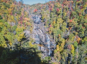
Whitewater Falls is the highest waterfall east of the Rocky Mountains with the upper falls alone dropping over 400 feet. The walk to the falls is very short and friendly for all ages and abilities - the path is paved so the falls are wheelchair accessible. The falls are beautiful in all seasons b...
Read more
-
Canton, North Carolina
4.8
1.03 mi
/ 148 ft gain
Park at the Looking Glass Rock Overlook. After enjoying the view of Looking Glass Rock, gear up and head to the right side of the parking area (right side if your back is to the overlook). On the opposite side of the road you'll see a mile marker and a little trail to the left of the marker. Foll...
Read more
-
Lake Toxaway, North Carolina
If you want to see a great waterfall without hiking all day, this is the perfect trail for you.
Getting there - The trailhead is about 2 miles from the intersection of Cold Mountain and Panther Ridge Road (exact coordinates: 35.1594, -82.9801). There is a small grassy pull out where you can park...
Read more
-
Canton, North Carolina
4.4
9.83 mi
/ 1522 ft gain
When the weather is in your favor, these treeless mountain tops will have your jaw on the floor with layers upon layers of Blue Ridge Mountains. This hike can be done in one day, but with panoramic views at multiple points, you'll want to take your time along this link of trails.
This ~10-mile l...
Read more
-
Canton, North Carolina
Graveyard Fields got it's name years ago from wind-thrown tree trunks that gave the appearance of a graveyard, until 1925 when an intense fire swept through the area, destroying the stumps. The forest has been recovering ever since.The parking area for Graveyard Fields is located at milepost 418....
Read more
-
Carlisle, South Carolina
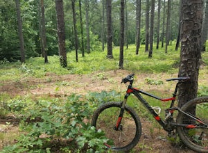
Croft State Park, called Tour de' Dump by locals, is a 7,000 acre state park containing a lake, a river, horse back riding, recreational fields, etc. but it is more commonly known for its mountain biking. Made up of a little more than 16 miles of trails you can enter the Southside Loop Trail fro...
Read more

