Clemson, South Carolina
Looking for the best hiking in Clemson? We've got you covered with the top trails, trips, hiking, backpacking, camping and more around Clemson. The detailed guides, photos, and reviews are all submitted by the Outbound community.
Top Hiking Spots in and near Clemson
-
Long Creek, South Carolina
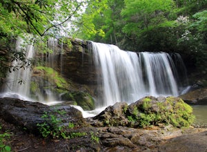
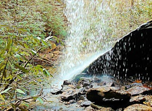
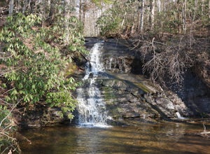
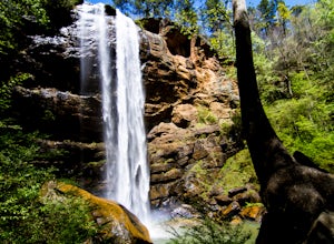
Hike to the Brasstown Falls
4.50.5 miThese waterfalls are absolutely beautiful during the summer greenery and fall foliage, but open to access year around.Driving Directions: From Westminister, follow US 76 West for 11.8 miles and turn left onto Brasstown Road. Follow this road 4.1 miles to FS 751. (The pavement ends in 2.6 miles.) ...Read more -
Greenville, South Carolina
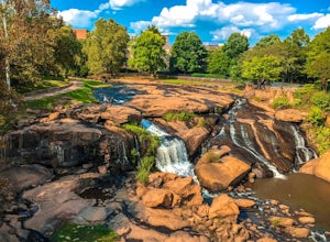
Hike Swamp Rabbit Trail to Reedy River Falls
4.53 mi / 100 ft gainSwamp Rabbit Trail is a 21 mile-long paved walkway that closely follows the Reedy River in Downtown Greenville. Over a half-a-million people visit the trail each year, but few ever walk the whole thing. What most people don’t know, is that it begins on a different river: the Enoree river and wind...Read more -
Greenville, South Carolina
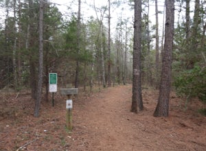
Lake Conestee Nature Park Loop
2.39 mi / 194 ft gainLake Conestee Nature Park Loop is a family-friendly loop trail located near Greenville, South Carolina. This trail makes for a great stroll and opportunity to do some birdwatching along the route. There are plenty of insects in the warmer months, so you may want to consider packing repellent.Read more -
Lake Toxaway, North Carolina
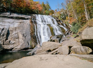
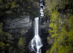
Rainbow Falls and Turtleback Falls in Gorges SP
4.53.91 mi / 778 ft gainRainbow Falls is one of the most scenic waterfalls in North Carolina's Blue Ridge Mountains. The Horsepasture River swells in the rainy season, dumping a cascade of water 150 feet. The plume of mist at the bottom creates a distinct rainbow effect, giving the falls its name. Hike to Rainbow Falls ...Read more -
150 Asbury Drive, South Carolina
Hike the Asbury Trail to Moonshine Falls
5.5 mi / 800 ft gainThe trail to the Matthews Creek cable bridge crossing is easy. The cable crossing is fine - fun for some and a do-able challenge for others. After the creek, to get to Moonshine Falls, turn RIGHT at the post which indicates a trail both left and right. This is the Naturaland Trail in Caesars Hea...Read more -
Cashiers, North Carolina
Hike to Silver Run Falls
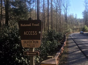
0.25 mi / 100 ft gainThe hike to this waterfall is very short and well worth it. The waterfall is about 40 feet tall and has a large volume of water. This makes for a great place to swim. The bottom of the pool is about 15 feet deep and offers cool mountain water. To get there it is just outside of Cashiers, North C...Read more -
Cleveland, South Carolina
Wildcat Wayside Nature Trail
3.01.03 mi / 266 ft gainWildcat Wayside Nature Trail is a loop trail that takes you by a waterfall located near Cleveland, South Carolina.Read more -
Highlands, North Carolina
Bouldering Granite City
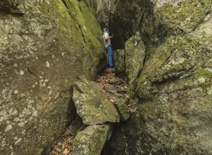
5.00.3 mi / 96 ft gainAt the foot of Blackrock Mountain just outside of Highlands, North Carolina, lies one of the most unique and secluded natural playgrounds around. Granite City is composed of several massive granite boulders, ranging between 10-40 feet tall. This spot is most popular for bouldering (mostly V0-V2...Read more -
Toccoa, Georgia
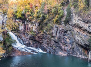
Explore Toccoa Falls
3.60.2 miPark at the welcome center of Toccoa College.The trailhead is behind the welcome center, starting at the gates to the right of the center. The trail takes you along a creek on a gravel trail. After a short distance, you will reach Toccoa Falls, where the water pours off the rocks from over 180 fe...Read more -
Pelzer, South Carolina
Interpretive Jo Peeler Nature Trail
3.70.74 mi / 151 ft gainThere are three loop trail options at this 65-acre park, all beginning at the kiosk. The interpretive Jo Peeler Nature Trail is an easy 0.6 mile tour of the park, while the white trail is rated as a medium length hike, and the blue trail as long. Leashed dogs are permitted at the park.Read more -
Pelzer, South Carolina
Cedar Falls Park Trail
2 mi / 190 ft gainCedar Falls Park Trail is a loop trail that takes you by a waterfall located near Pelzer, South Carolina. The loop is both family friendly and dog friendly (please keep your pup on-leash). There's also a park at the entrance for the kiddos before or after walking/hiking the trail.Read more -
Highlands, North Carolina
Explore Cashiers Sliding Rock
0.2 mi / 70 ft gainThis waterfall is located just outside of Cashiers, NC. The trailhead to the waterfall is right off of the road and has a good amount of parking. The trial itself is very nice and has new steps at the beginning of the trail. The trail is very wide and is mostly flat the entire way there. Once you...Read more -
Cleveland, South Carolina
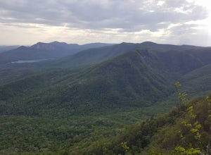
Caesars Head Overlook
5.00.27 mi / 144 ft gainThe Drive: Head North on SC Highway 11 "Cherokee Foothills Scenic Highway" towards Table Rock State Park. Follow SC 11 past Table Rock approximately 8 miles where it will merge with SC 8 at Pumpkin Town. Follow SC 8 for another 3-4 miles until you see the intersection for SC Highway 276 on the le...Read more -
Tallulah Falls, Georgia
Camp at Tallulah Gorge State Park
4.7Tallulah Gorge is a must-see feature of Georgia. Campers can lay low and experience the gorge from its floor, engaging in river activities such as kayaking or swimming. Those seeking a thrill can hike the rim trails of the gorge, and even cross an 80' high suspension bridge. (Hikers who may be fe...Read more -
Tallulah Falls, Georgia
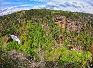
Hike to Hurricane Falls, Tallulah Gorge SP
4.41.85 mi / 564 ft gainThe trail is located in Tallulah Gorge State Park which is about 1 ½ hours northeast of Atlanta, off of Highway 441. There is a $5 per car entry fee into the park and they prefer the use of cash. From there, follow the signs to the Jane Hurt Yarn Interpretive Center, where there is parking and pl...Read more -
Cleveland, South Carolina
Raven Cliff Falls
4.57.76 mi / 2185 ft gainLocation: From the intersection of US276 & SC11, head Northwest on US276. Drive to the top of the mountain, 1 mile past the visitor's center, and The Raven Cliff Falls Parking Area and trail head will be on your right. After parking in the Raven Cliff Falls Parking Area, the trailhead is l...Read more

