Smithfield, Rhode Island
Top Spots in and near Smithfield
-
Westerly, Rhode Island
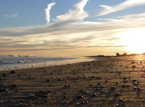
Watch the Sunset over Misquamicut Beach
5.0Misquamicut is one of Rhode Island’s most popular beach locations during the day. As the evening approaches most beach goers pack up, tired from a day of playing in the waves and lounging on the beach’s beautiful sand. It’s during this time, when the crowds disperse and the day begins to turn to ...Read more -
Westminster, Massachusetts
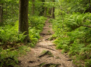
Summit Mt. Wachusett via the West Side Trail
5.01.2 mi / 750 ft gainSet your GPS to Wachusett Mountain ski area. Coming from Rt. 2 turn onto Mile Hill Rd and look for your first right to take Bolton Rd. Take this road all the way until it intersects with West Princeton Rd. Turn left. and drive down W Princeton Rd for 1.2 miles and there should be a small parkin...Read more -
Stonington, Connecticut
Hike Denison Pequotsepos Nature Center Trail
5.01.7 mi / 72 ft gainDenison Pequotsepos Nature Center Trail is a 1.7 mile loop hike that takes you by a river located near Mystic, Connecticut.Read more -
Westerly, Rhode Island
Napatree Point Conservation Area Trail
4.03.19 mi / 82 ft gainNapatree Point Conservation Area Trail is a loop trail that takes you past scenic surroundings located near Westerly, Rhode Island.Read more -
Hampden, Massachusetts
Goat Rock Trail
2.67 mi / 659 ft gainGoat Rock Trail is an out-and-back trail where you may see beautiful wildflowers located near Hampden, Massachusetts.Read more -
Groton, Connecticut
Hike Sheep Farm
3.01 mi / 91 ft gainSheep Farm is a 1 mile loop hike that takes you by a waterfall located near Groton, Connecticut.Read more -
Groton, Connecticut
Hike Haley Farm Loop
5.02.7 mi / 193 ft gainHaley Farm Loop is a 2.7 mile loop hike that takes you past wildlife located near Groton, Connecticut.Read more -
Groton, Massachusetts
Catch a Sunset at Gilbert Hill
5.01 miFrom Rt. I-495 Exit 31, Gibbert Hill has one of the greatest sunsets around Groton, MA area. You will see a lot of cows and even a castle. This is a very easy hike and a not so easy place to park, you have to leave you car on the side of the road, which is totally fine, I guess, it is easy.The wa...Read more -
Groton, Connecticut
Hike Bluff Point State Park Eastern Loop
4.54.3 mi / 344 ft gainBluff Point State Park Eastern Loop is a 4.3 mile loop hike where you may see beautiful wild flowers located near Groton, Connecticut.Read more -
New Shoreham, Rhode Island
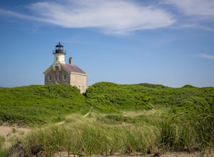
Walk to North Lighthouse
1 mi / 0 ft gainIn order to reach the Lighthouse you must walk along the trail that begins at the end of Corn Neck Rd. This walk is along the beach and then veers off to the left once you get closer to the light house (the seventh picture shows the start of the walk). It's only a half mile to the light house, bu...Read more -
Glastonbury, Connecticut
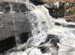
Blackledge Falls
4.01.46 mi / 207 ft gainAlthough the park contains hiking trails, a pond and a streambelt, the primary draw of this parcel of land is the 25 foot waterfall. The falls flow varies depending on the volume of precipitation, from a trickle in the dry months to a three-pronged vertical drop after some consistent snow melt or...Read more -
Groton, Connecticut
Visit Avery Point Lighthouse
3.0Owned by the University of Connecticut this lighthouse is a short walk from the parking area. Though the grounds are open the tower is not. Avery Point offers panoramic ocean views. From this location you can also see New London Harbor Lighthouse & New London Ledge Light. You can also see t...Read more

