Dushore, Pennsylvania
Looking for the best hiking in Dushore? We've got you covered with the top trails, trips, hiking, backpacking, camping and more around Dushore. The detailed guides, photos, and reviews are all submitted by the Outbound community.
Top Hiking Spots in and near Dushore
-
Williamsport, Pennsylvania
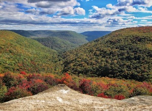
Hike Smith's Knob Hike via the Loyalsock Trail
5.08.3 mi / 1400 ft gainSmith's Knob is a short, but fairly challenging section of the overall Loyalsock Trail. Smith's Knob has a distinctively round peak, and viewed from Rider Park, sticks out to all very easily. The trail starts off very steep, and will require some effort right away. However, it soon becomes more o...Read more -
Montoursville, Pennsylvania
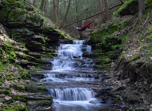
Hike to Jacoby Run Falls
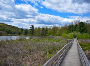
4.03.3 mi / 341 ft gainThe trailhead is at a large gravel parking area off of Wallis Run Road. The trail begins on a boardwalk over a wetland that leads into hemlock forest and mixed hardwoods.The yellow blazed trail follows Jacoby Hollow at a steady slight incline and leads to the 45 foot Jacoby Falls. Best times to...Read more -
Trout Run, Pennsylvania
Jacoby Hollow
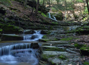
5.03.2 mi / 545 ft gainJacoby Hollow is an out-and-back trail that takes you by a waterfall located near Trout Run, Pennsylvania.Read more -
Trout Run, Pennsylvania
Hike the Katy Jane Trail in Rider Park
4 mi / 560 ft gainHiking, trail running, mountain bike riding, cross country skiing and other low impact recreational activities are all part of what Rider Park has to offer. My personal favorite is the 3.6 mile Katy Jane Trail with a 560 vertical rise. It begins on the right side of the parking area. The trails a...Read more -
Trout Run, Pennsylvania
Hike the Frozen Run Gorge
5.05 miOne of the most remote hikes in the beautiful Loyalsock State Forest, this loop through the Frozen Run Gorge is a fantastic hike for an experienced hiker looking to see a place that few other hikers do.There are no official trails through the gorge and this hike is a bushwhack. There are a couple...Read more -
Montgomery, Pennsylvania
Hike through SGL 252
4.76 mi / 400 ft gainWhat was once known as the town of Alvira PA, is now known as State Game Lands number 252. During WWII the land was seized by the army and used as an army ordnance. Because of its past, while you are exploring, be on the lookout for old ammunition bunkers that have succumb to years of neglect, an...Read more -
Apalachin, New York
Hike the West Gorge Trail at Waterman Conservation Center
1.3 miPark anywhere near the conservation center when you pull into the parking lot and head towards the open field where a map kiosk stands. Follow the green trail markers (West Gorge Trail) to the creek where it follows along and intersect at about 0.4 miles. From here connect to follow the yellow tr...Read more -
Apalachin, New York
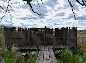
Hike and Birdwatch the Apalachin Marsh
5.01 miPark on the gravel "pull-off" West-bound on Route 434 in Apalachin (See pin). Walk along the fence and turn into the opening where you'll go through a tunnel about 20 yards long. From there you're in the preserve where you can hike the yellow trail, leading to the Bird Blind and other scenic over...Read more -
Wilkes-Barre, Pennsylvania
Pinchot Trail
21.97 mi / 1913 ft gainThe Pinchot Trail, built by the Sierra Club's Northeast Pennsylvania Group and located in the southern corner of Lackawanna County, is an excellent warmup or beginner backpacking trail. The trail systems totals 22 miles but can be broken up by the North or South Loops. The North loop is mostly f...Read more -
Vestal, New York
Hike the Wetlands Loop, BU Nature Preserve
4.01.4 mi / 0 ft gainPark across from the Nature Preserve Kiosk where you can pay to park ($1 for 30 mins) ask an attendant for directions at the entrance of the university for ease of navigation through campus. The lot is clearly marked however and is titled 'Lot M0'Follow trail markers to hike around the Marsh and ...Read more -
Endwell, New York
Hike the IBM Glen Preserve
4.81.7 mi / 400 ft gainFrom the parking lot follow the only trail heading downhill, the yellow trail. At the first and second forks in the trail, stay left remaining on the yellow trail. When you reach the creek, I prefer to trek through the creek on a summer day.However the yellow trial crosses the creek and continues...Read more -
White Haven, Pennsylvania
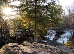
Choke Creek Falls
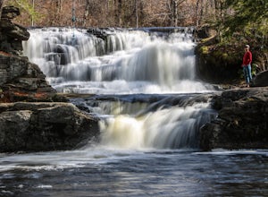
5.01.45 mi / 128 ft gainHiking to Choke Creek Falls is easy! The hike down to the waterfall is less than a mile and the payoff is a scenic two story waterfall. From the curve in Phelps Road, take the gated forest road downhill about 1/3 of a mile to a clearing. From here, the trails splits. Take the trail to the right,...Read more -
Lake Harmony, Pennsylvania
Shades of Death Trail
4.51.89 mi / 223 ft gainThe trailhead and parking are available by the park office or along PA 534 by the nature center and amphitheater. This trail is beautiful and seemed to change around every bend. Sand Spring Run flows alongside the entire trail. Rock formations and rhododendron mix with remains of a logging mill a...Read more

