Benton, Pennsylvania
Looking for the best hiking in Benton? We've got you covered with the top trails, trips, hiking, backpacking, camping and more around Benton. The detailed guides, photos, and reviews are all submitted by the Outbound community.
Top Hiking Spots in and near Benton
-
Mifflinburg, Pennsylvania
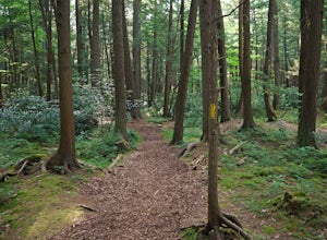
Stroll along the Rapid Run Nature Trail
1.09 miThere are multiple ways to access and start the trail, there is a small parking area near the intersection of McCall Dam Road and Route 192 or you can access from the other end near the beach at Halfway Lake. The trail is well marked with yellow blazes and easy to fall. This is a simple hike, b...Read more -
Jonestown, Pennsylvania
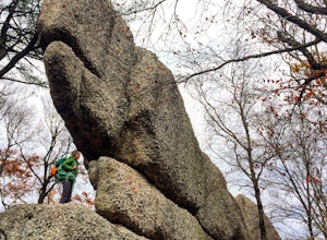
Climb Boxcar Rocks
5.01 mi / 0 ft gainThe parking lot can be tricky to find your first time. From I-81 Take Tower City exit on Rt. 325 W. Before airport, take Gold Mine Rd south over first major ridge. After ridge look for a driveway/parking lot on the left, it is the one just downhill of the big wide open parking lot. The road has...Read more -
Jim Thorpe, Pennsylvania
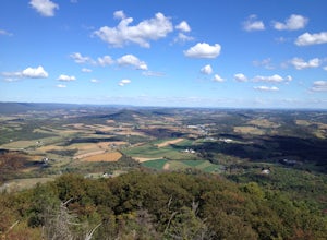
Hike to Bake Oven Knob
5.00.76 miThe trail is VERY rocky and stepping up the rocks requires proper footwear. From the beginning of the trail, hike until you reach an opening filled with rocks and boulders. Stay to the left of this and you will see the unmarked trail continue. After climbing up this, there is an overlook to the N...Read more -
Lehighton, Pennsylvania
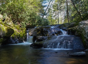
Hike the Falls Trail at Beltzville State Park
4.05.5 miAt the Christman Trailhead, hike a quick, flat 2.5 miles following the yellow trail markers through farm meadows and birch forests to the Falls Trail loop/intersection. Here hike the Falls trail which is a 0.5 mile loop that links back to the 2.5 mile section back to the parking area. Bridges and...Read more -
Kempton, Pennsylvania
Hike the Pinnacles and Pulpit Rock
4.29 mi / 1200 ft gainPark in the lot near the Hamburg Reservoir and hike around the barrier and up the gravel road. Shortly on your right the Appalachian Trail branches off the road. Follow the white blazes of the AT for around 2 miles to the Pulpit Rocks, just before the trail passes the Lehigh Valley Astronomical S...Read more -
Walnutport, Pennsylvania
Lehigh Gap via Appalachian Trail
4.52.15 mi / 817 ft gainLehigh Gap was formed by the Lehigh River carving a large hole in the foothills of the Appalachian Mountains. One side is owned and operated by the Lehigh Gap Nature Center and has some great hikes, but this side is government-owned. Parking for this portion of the Appalachian Travel is up a litt...Read more

