Tygh Valley, Oregon
Top Spots in and near Tygh Valley
-
Carson, Washington
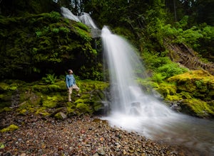
Steep Creek Falls
5.0Steep Creek Falls is located about 5 miles from the small town of Stevenson. Take Highway 14 one mile west of Stevenson to Rock Creek Drive and turn north, passing the Skamania Lodge and Resort. Turn left onto Ryan Allen Road and follow it for about a mile, then turn left onto Red Bluff Road. Fo...Read more -
Marion County, Oregon
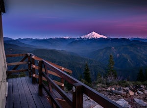
Gold Butte Fire Lookout
4.32.44 mi / 741 ft gainGold Butte Fire Lookout is a real gem in the Willamette National Forest. At 4618 feet elevation, the nearby Cascade Mountain views are nothing short of spectacular! At the summit, sits a L-4 Ground Structure Type Fire Lookout that was built in1934 to be used as a Fire Lookout. Additionally, durin...Read more -
Sandy, Oregon
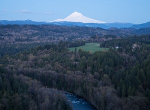
Photograph Jonsrud Viewpoint
4.5The view from this spot is definitely worth the drive, if you're visiting Portland or the Columbia River Gorge area I highly recommend taking the time to stop here. Not a lot of people know about this spot and its likely you'll be the only person/people there!If you get the chance, definitely com...Read more -
Washougal, Washington
Cape Horn Trail
4.36.76 mi / 1795 ft gainThe Cape Horn Trail is great for those who are short on time, but still want to get outside for something close by with great views. Located just 35 min east of Portland, the Cape Horn Trail offers a few different possibilities for you to hike. The whole loop (lower section is closed from Feb 1s...Read more -
Corbett, Oregon
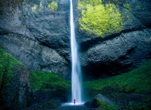
Latourell Falls Loop
4.72.02 mi / 820 ft gainLatourell Falls is a beautiful and unique waterfall in the Columbia River Gorge in Oregon. This amazing waterfall is just a few hundred yards from the road and parking lot. Once you park, there is a viewpoint for the falls that is straight ahead. The view from there isn't that great compared to ...Read more -
Idanha, Oregon
Pamelia Lake Trail
4.04.37 mi / 906 ft gainPamelia Lake Trail is an out-and-back trail that takes you by a lake located near Idanha, Oregon.Read more -
Idanha, Oregon
Hike Grizzly Peak
4.510 miAfter leaving your car at the Pamelia Lake trailhead, hike 2.3 miles along the trail following Pamelia Creek. The Grizzly Peak trailhead will be on the right just before the lake, which you should check out before or after your hike up to Grizzly Peak—there are several campsites around the lake t...Read more -
Idanha, Oregon
Hike up the South Slopes of Mount Jefferson
15 mi / 7400 ft gainSet out from Pamelia Lake Trailhead through dense old growth forest. You'll see giant cedars, mixed firs and stunning mountain streams carving their way thru very green forest. After a couple miles, you'll reach Pamelia Lake. This is a great place to grab a snack, water, take photos and camp if y...Read more -
Detroit, Oregon
Battle Ax Mountain
5.05.09 mi / 1594 ft gainWith no officially marked trailhead, this hike begins slightly west of Elk Lake in Marion County. Take Highway 22 to Detroit, OR. East of the bridge over Breitenbush River, turn onto (FR) Forest Road 46, with signs pointing to Breitenbush River. After 4.5 miles turn left at a sign for Elk Lake, a...Read more -
Idanha, Oregon
Hunt's Cove via Pamelia Lake Trail
14.74 mi / 3150 ft gainThis loop through the Pamelia Lake Limited Entry Area is one of the premier backpacking trips in the Mount Jefferson Wilderness. The trail offers sustained up-close views of Mount Jefferson and several lookout points provide panoramic views of the western Oregon Cascades. The several large back...Read more

