Tualatin, Oregon
Looking for the best photography in Tualatin? We've got you covered with the top trails, trips, hiking, backpacking, camping and more around Tualatin. The detailed guides, photos, and reviews are all submitted by the Outbound community.
Top Photography Spots in and near Tualatin
-
Cascade Locks, Oregon
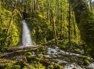
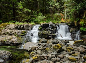
Ruckel Creek Falls
4.01.21 mi / 194 ft gainPark at the Eagle Creek Trailhead, and backtrack out towards the highway. Take the path to the right and walk alongside the highway for nearly a half mile. Stop when you are on the bridge and see the Ruckel Creek Trail to your right. If you look left, you will notice a waterfall dropping below yo...Read more -
Cascade Locks, Oregon
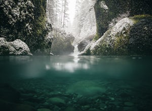
Metlako & Punchbowl Falls
4.75.46 mi / 1030 ft gainNote: The overlook at Metlako Falls is closed. Find out more info here. This is a fairly short hike. 2 miles in to Punchbowl Falls (past Metlako Falls) and then 2 miles out. I’ve done it in all sorts of conditions from 95 degree sunny summer days to a trip in a deep freeze where I got in my wets...Read more -
Cascade Locks, Oregon
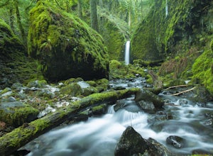
Hike to Mossy Grotto Falls
2.71.6 miNote: This trail may be closed. Additionally, getting to Mossy Grotto Falls is a very challenging adventure, especially when conditions are muddy. Before exploring this adventure, consider checking for updates with the Forest Service for the Columbia River Gorge: (541) 308-1700. This newly di...Read more -
Cascade Locks, Oregon
Ruckel Ridge Loop
5.08.08 mi / 3730 ft gainThis ridge is one of the lesser known paths from the Eagle Creek Trailhead. Instead of taking Ruckel Creek Trail, find the trail leading up Ruckel Ridge. It is a far more difficult hike of about 7 miles leading up to Benson Plateau. Along the way there are beautiful lookout points for Mount Hood,...Read more -
Cascade Locks, Oregon
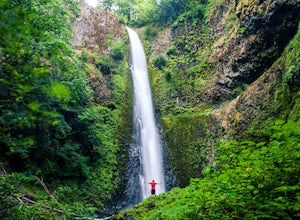
Tunnel Falls
4.411.87 mi / 2874 ft gainThis hike begins at the Eagle Creek Trailhead. This is the same trailhead that goes to popular Punchbowl Falls. The trail to reach Tunnel Falls is 12 miles roundtrip on an out and back trail. If you continue another 0.5 miles on the trail after Tunnel Falls you will reach Twister Falls. The hike ...Read more -
Rhododendron, Oregon
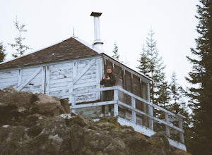
Devil's Peak Lookout
3.02.62 mi / 600 ft gainThe Trail: This hike is one of the 2 routes that lead to the lookout, and the shorter of the two. It requires more driving to get to the trailhead than the other, but less walking, so if that sounds appealing to you, you have come to the right place! First, you'll be greeted by a dense forest w...Read more -
Rhododendron, Oregon
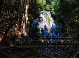
Ramona Falls Loop
4.77.17 mi / 1148 ft gainI'd been wanting to do this hike for quite a while, and when I found work taking me to Portland, I made my return trip through the Mt. Hood wilderness area. I started this Hike from the Ramona Falls trailhead, which is the most popular starting point. The easiest way to find the trailhead, is t...Read more -
Carson, Washington
Steep Creek Falls
5.0Steep Creek Falls is located about 5 miles from the small town of Stevenson. Take Highway 14 one mile west of Stevenson to Rock Creek Drive and turn north, passing the Skamania Lodge and Resort. Turn left onto Ryan Allen Road and follow it for about a mile, then turn left onto Red Bluff Road. Fo...Read more -
Rhododendron, Oregon
Burnt Lake and Zigzag Mountain
5.012.27 mi / 3225 ft gainAfter getting your back country permit from a park ranger, you can park your car and head up Zigzag Mountain. There's a tiny 'parking lot' (lot of dirt) where you park that's right by the trailhead. The hike up to the campsites is roughly 4 miles, and it is all uphill. Not only are you surrounde...Read more -
Cascade Locks, Oregon
Dry Creek Falls via PCT
4.34.44 mi / 1191 ft gainThis is a 4.4 mile out and back hike with only 710 feet in elevation gain. From the parking area at the Bridge of The Gods Trailhead, make your way across the road to the Pacific Crest Trail, which runs parallel with I-84. Shortly you'll run into a street that goes under I-84. Make your way up...Read more -
Amboy, Washington
Siouxon Trail to 14 Mile Falls
5.013.03 mi / 2310 ft gainWhen you park at the top of the trail, all you see is layers and layers of emerald trees and ground clear of any underbrush. Once on the trail, you start on a rapid decline that brings you to the first of the many streams along this hike. Cross the bridge made out of logs and head towards the ma...Read more -
Cascade Locks, Oregon
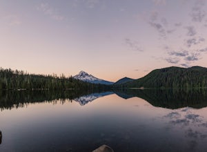
Camp at Lost Lake
4.7When the temperature starts to creep up in the summer, Lost Lake is the perfect escape. The campground provides you with everything you could want – miles of scenic hiking, a multitude of water activities, and even a general store for anything you might have forgotten at home.The lakeside tent ca...Read more -
Rhododendron, Oregon
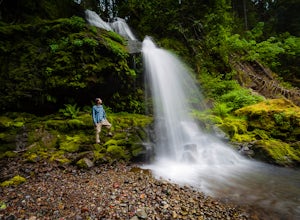
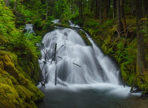
Little Zig Zag Falls
5.00.66 mi / 131 ft gainThe hike along Little Zig Zag River is definitely one of Oregon's hidden gems. Although the waterfall isn't as highly rated in comparison to other impressive falls like Multnomah Falls, Abiqua Falls, or Bridal Viel Falls, it is still quite the sight to see, and most definitely worth the visit. T...Read more -
Mount Hood, Oregon
McNeil Point via Top Spur Trailhead
4.97.17 mi / 2428 ft gainThe hike to McNeil Point begins at Top Spur Trailhead, in the Mt. Hood National Wilderness. Follow signs for McNeil Point along the Pacific Crest and Timberline Trails heading north. Though there are numerous camping opportunities along the way (most of the route follows the PCT), an old stone s...Read more -
Mount Hood, Oregon
Hike to Sandy Glacier Caves
4.512.5 mi / 2800 ft gainThe hike to the caves begins at Top Spur Trailhead. The hike to McNeil Point is 5.4 miles one way, and 2200 feet of elevation gain. The trail starts in the forest, but will eventually open up to views of Mt Hood, as well as St. Helens, Adams and Rainier on a clear day.There is a shortcut up to Mc...Read more -
Government Camp, Oregon
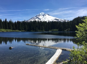
Tom Dick and Harry Mountain
5.08.28 mi / 1726 ft gainLooking to score those iconic photos of Mt. Hood? Climb the well-graded trail to Tom Dick and Harry Mountain, one of the most accessible summit hikes to Portlanders, and see where they were all taken. Starting from the busy Mirror Lake Trailhead, climb roughly 900 feet and 1.5 miles to Mirror La...Read more

