St. Helens, Oregon
Looking for the best photography in St. Helens? We've got you covered with the top trails, trips, hiking, backpacking, camping and more around St. Helens. The detailed guides, photos, and reviews are all submitted by the Outbound community.
Top Photography Spots in and near St. Helens
-
Toutle, Washington
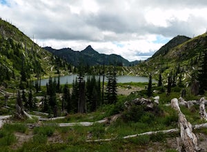
Backpack to Snow Lake by Mt. Whittier
5.016 mi / 2700 ft gainThe Coldwater Lake Recreation Area has restrooms, telephones, and a picnic area. Make sure you have already acquired your permits for camping in the Mt. Margaret back country.Follow trail #211, which runs along the entire 4.5 mile length of Coldwater Lake. It is a beautiful and fairly flat hike w...Read more -
Toutle, Washington
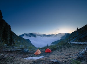
Mount Margaret's Ridge Camp via Coldwater Trailhead
3.57.12 mi / 1634 ft gainThe hike is relatively easy. I'd say intermediate due to the incline at the beginning. Also intermediate due to it being an backpacking camp adventure. A friend of mine and I backpacked in to shoot the sunset and sunrise. We went a little early in the season so it was also to scout for future ad...Read more -
Corbett, Oregon
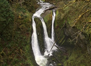
Triple Falls
4.53.4 mi / 1168 ft gainAccess to Triple Falls is currently closed. Learn more on the Forest Service Site. This hike, starting at the Oneonta Trailhead is a 3.2 mile roundtrip. You will gain approximately 600 feet in elevation as the trail often switches from moderate flat easy hiking to more difficult elevation gain a...Read more -
Cascade Locks, Oregon
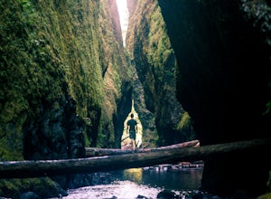
Oneonta Gorge
4.80.92 mi / 531 ft gain*Currently closed (except a small portion of the upper trail between Multnomah Spur and Trail #444 on Larch Mountain)...here This hike is very short (1 mile roundtrip) but does take some time to do. The trail leads down from the road into a stream bed. You follow the stream bed upstream through ...Read more -
Toutle, Washington
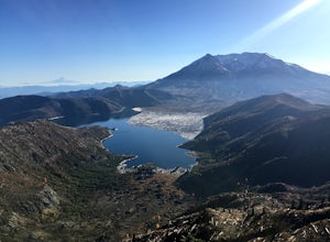
Loowit Viewpoint
5.0From roughly May to September, both star gazers and photographers alike travel to the darkest locations in order to capture something truly magnificent- the galactic core of the milky way. The Loowit Viewpoint is unlike any around due to the perfect combination of it's remote location, higher ele...Read more -
Nehalem, Oregon
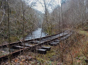
Hike the Salmonberry Train Track Trail
4.010 mi / 275 ft gainBeware, there is no actual trailhead! This trail (Lower Salmonberry River Hike) starts on Lower Nehalem Rd (Foss Rd) where the Salmonberry River and the Nehalem River meet. Before you cross the tracks, find parking there (but be aware of private property) and follow the train tracks into the fore...Read more -
Sandy, Oregon
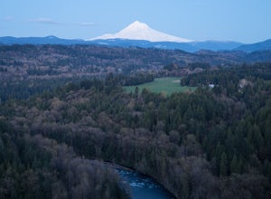
Photograph Jonsrud Viewpoint
4.5The view from this spot is definitely worth the drive, if you're visiting Portland or the Columbia River Gorge area I highly recommend taking the time to stop here. Not a lot of people know about this spot and its likely you'll be the only person/people there!If you get the chance, definitely com...Read more -
Cascade Locks, Oregon
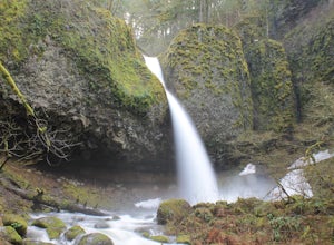
Horsetail Falls Loop
4.52.56 mi / 610 ft gainStart off on this loop from Horsetail Falls Trailhead. It never hurts to start a hike with a view of Horsetail Falls. This 2.5 mile loop will start you off on Gorge trail #400 up Horsetail Falls Trail. You’ll encounter a few switchbacks before the trail flattens out and leads you into the valley ...Read more -
Toutle, Washington
Hike to Coldwater Peak via Boundary Trail
5.014.8 mi / 2700 ft gainThe Boundary trail is amazing. It's 54 miles long and runs for the most part along a ridge in Gifford Pinchot National Forest. You can climb various peaks and viewpoints right off the trail, but this trip report is for climbing Coldwater Peak and hiking up to Harry's Ridge Viewpoint on the way. H...Read more -
Cascade Locks, Oregon
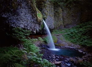
Ponytail Falls
4.60.85 mi / 463 ft gainPonytail Falls is an easy 0.8 mile hike located in the gorge that begins at Horsetail Falls. After hiking up mild switchbacks, continue to your right at the first trailhead intersection. The path levels out before coming around the mountain and opening up to the waterfall. This is the easiest wa...Read more -
Cougar, Washington
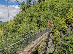
Hike the Lava Canyon
3.06.5 miStarting at the Lava Canyon Trailhead, you will walk on a paved trail down a few switchbacks until you reach the river, where you can go right or left. Either way takes you to the suspension bridge, but I recommend going right if you are following this guide. It will make more sense in a moment.A...Read more -
Carson, Washington
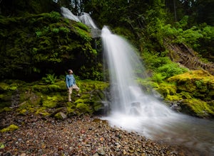
Steep Creek Falls
5.0Steep Creek Falls is located about 5 miles from the small town of Stevenson. Take Highway 14 one mile west of Stevenson to Rock Creek Drive and turn north, passing the Skamania Lodge and Resort. Turn left onto Ryan Allen Road and follow it for about a mile, then turn left onto Red Bluff Road. Fo...Read more -
Stevenson, Washington
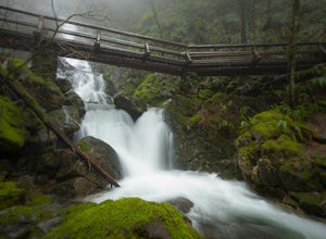
Hardy and Rodney Falls
4.02.17 mi / 699 ft gainLocated along the Hamilton Mountain Trail, the Hardy and Rodney falls out and back hike is a good alternative for those looking for a shorter hike compared to the 7.6-mile hike to the top of Hamilton Mountain. From the Hamilton Mountain Trailhead, you will follow the trail through thick trees fo...Read more -
Seaside, Oregon
Saddle Mountain Trail
4.74.59 mi / 1644 ft gainSaddle Mountain is a pretty stellar spot if you are looking for a beginner/intermediate hike with incredible views close to Portland. The trail is a 5.2 mile round trip trail with an elevation gain of 1600 ft that starts at the Saddle Mountain Trailhead. You can actually camp right at the trail...Read more -
Carson, Washington
Falls Creek Falls
4.85.82 mi / 1512 ft gainThe trail to Falls Creek Falls is well maintained with a few short moderately steep areas. The trail hugs the creek for the first mile, and takes you through old growth trees for the second mile. Once the falls are in sight, make sure to stop and look up to see the top tier through the trees. It'...Read more -
Cascade Locks, Oregon
Elowah Falls
4.81.36 mi / 512 ft gainMultnomah Falls, which is about 5 miles from Elowah [along the Historic Columbia River Highway] takes a large portion of the crowd due to its visibility from the highway. With that said, you may get a much more deserted Elowah Falls if you decide to take the short but steep 15-minute hike to it...Read more

