Sisters, Oregon
Top Spots in and near Sisters
-
Linn County, Oregon
Mountain Bike the McKenzie River Trail
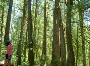
26 mi / -2200 ft gainMountain biking the McKenzie River Trail should be on every serious mountain biker's to-do list, since this trail has repeatedly been cited as the best mountain biking in the United States. The whole trail is an all-day, 26 mile epic, losing 2200 feet of elevation as it parallels the McKenzie Ri...Read more -
Linn County, Oregon
Tamolitch Blue Pool
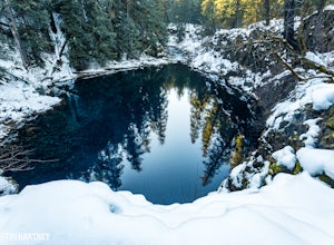
5.03.56 mi / 253 ft gainThe hike out to Tamolitch Pool, or "Blue Pool," is 2 miles each way and follows the McKenzie River to a lava flow pool. Off Highway 126 14 miles east of McKenzie Bridge, turning into the Trailbridge Campground, drive right 1/3 of a mile to the trailhead. The trail is relatively flat, which gives ...Read more -
Sisters, Oregon
Duffy Lake Trail
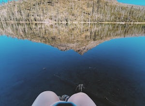
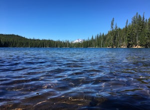
6.92 mi / 869 ft gainDuffy Lake Trail is an out-and-back trail that takes you by a lake located near Idanha, Oregon.Read more -
Sisters, Oregon
Backpack to Santiam Lake via Duffy Lake Trailhead
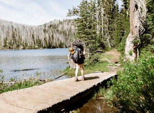
9.94 mi / 1362 ft gainYou start by weaving through an old-growth forest, gaining a little elevation, appreciating the shade, before you come up out and into the alpine forest the majority of the hike will take place in. You will quickly reach your first of many intersections within ~.1 mile into the trail. Be sure t...Read more -
Sisters, Oregon
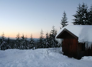
Snowshoe to the Mountain View Shelter
5.04 mi / 500 ft gainA short hike from the sno-park, the snow shelter is within an hour's reach of the trailhead. Make sure to print a trail map of the area's routes ahead of time, or take a picture of the map provided in the parking lot, as the network of trails can get you a little lost.From the parking lot, make s...Read more -
Lane County, Oregon
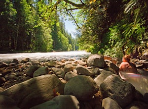
Bigelow Hot Springs
2.0Unlike many other springs you'll find, this pool has basically no barriers to entry – it is accessible via a short hike, has no fee, and is available year-round. While the temperature is less than 100 degrees, the scenic surroundings make up for the slightly less than hot water.Read more -
Lane County, Oregon
Belknap Hot Springs
4.5This is a popular, family friendly spot, complete with two pools, indoor lodging, RV and tent camping, and hiking trails. The pools are kept at 185-195 degrees, with the smaller of the two being reserved for overnighters only. Day visitors are charged an hourly fee.Read more -
Bend, Oregon
Deschutes River Trail: Benham Falls to Slough Meadow
5.04.51 mi / 364 ft gainDeschutes River Trail: Benham Falls to Slough Meadow is an out-and-back trail that takes you by a river located near Bend, Oregon.Read more -
Bend, Oregon
Bike or Hike The Deschutes River Trail
22 mi / 1280 ft gainThe Deschutes River Trail is a must do mountain bike ride or hike in between Sunriver and Bend, Oregon. The river varies from calm water to waterfalls. The trail follows along the river and goes through pine forests, meadows, and lava flows. Most of the single track is smooth with a few more tech...Read more -
Marion Forks, Oregon
Marion Falls
4.14.12 mi / 968 ft gainThis hike explores an off-trail trip to one of my favorite waterfalls in Oregon. To kick off this hike, you'll start at the Marion Lake trailhead. The road to this trailhead is Marion Creek Road at mile point 66.5 off Highway 22. It's 4.3 miles until you reach the parking lot and start your journ...Read more -
Bend, Oregon
Hike Bessie Butte
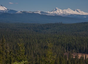
4.41.5 mi / 500 ft gainJust a mere 15 minutes outside of Bend, Oregon the Bessie Butte Trail is a wonderfully scenic hike to overlook Bend on one side and the Deschutes National Forest on the other. The butte provides an excellent view of the surrounding mountains of which there are many: Mount Bachelor, The South Sist...Read more -
Bend, Oregon
Mountain Bike Lava Lands Blackrock Trail to Benham Falls
Blackrock Trail starts at the Lava Lands Visitor Center, which is about a 5-mile drive south of Bend on Highway 97. You can park at the Lava Lands Visitor Center and then take the trail marked Sun-Lava Trail. This will take you to Blackrock Trail, which you will see as a turn-off to the right abo...Read more -
Bend, Oregon
Explore the Lava River Cave
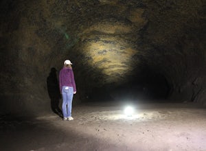
5.0Located just 12 miles South of Bend and 5 miles Northeast of Sunriver in the Deschutes National Forest, the Lava River Cave is a unique experience the whole family can enjoy. To get there from Bend, drive South on Highway 97 for about 10 miles until you see a large sign for the Lava Lands Visitor...Read more -
Bend, Oregon
Hike to Lucky Lake
5.02.5 mi / 405 ft gainLocated just 4.36 miles past the popular Elk Lake Day Use turnoff, the trailhead is on the right side of the highway, marked by a small 'trailhead' sign. The hike begins at the Senoj Lake Trailhead and climbs up to the lake for 1.26 miles. Once you reach the lake, you can choose to go left or rig...Read more -
Foster, Oregon
Hike the Middle Pyramid
4.5The Three Pyramids, half as tall as the better-known Three Sisters, are beautiful U-shaped glacial valleys, remnants of the Ice Age.To reach the top of Middle Pyramid, leave from the #3380 trailhead at the west end of the parking area. Early on there is a creek crossing (the bridge was still wash...Read more -
Bend, Oregon
Boyd Cave
5.00.69 mi / 66 ft gainLocated 20 miles southeast of Bend, Boyd Cave is a well preserved lava tube stretching close to a mile. To get there, take Highway 97 South through Bend and turn left on China Hat Road. Go straight for exactly 9 miles. Turn left at mile 9 onto the trail at FS242. You will know it has been 9 miles...Read more

