Saint Paul, Oregon
Top Spots in and near Saint Paul
-
Cascade Locks, Oregon
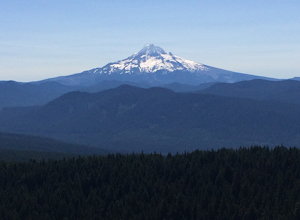
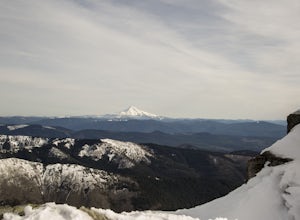
Larch Mountain's Summit
4.013.28 mi / 4629 ft gainDone as a loop or one way shuttle (in summer/fall), the full Larch Mountain experience starts at the large (but still always full) Multnomah Falls parking lot. There you'll have the chance to grab a final snack, use the restroom, and fill water bottles before joining all the "tourist" hikers on t...Read more -
Cloverdale, Oregon
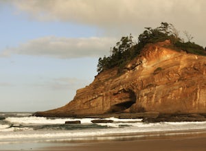
Explore Cape Kiwanda
4.8Cape Kiwanda is part of the Three Capes Scenic Route. It offers sea stack rock formations, beautiful beaches, sand stone cliffs, and if you are lucky enough, amazing wildlife. It is the home of the Pacific Dory Fleet.If you are early enough, you can catch the fisherman coming and going in the mys...Read more -
Multnomah County, Oregon
Multnomah Falls
4.22.61 mi / 1214 ft gainMultnomah Falls is worth a quick stop anytime you're visiting the Columbia River Gorge National Scenic Area in Oregon. This waterfall is the tallest in Oregon at 620 feet and the third largest in the Pacific Northwest behind Bridal Veil Falls (1,289 feet) and Green Lake Falls (979 feet) and has a...Read more -
Yacolt, Washington
Hike Silver Star Mountain via Grouse Vista
4.56 mi / 2000 ft gainThe Grouse Vista Trailhead is located through the town of Washougal off of highway 14 just past Camas. Once you leave the city, the road will turn to gravel and dirt though it is fairly well maintained until snow arrive and accessible by most cars so long as you're willing to get drive over loose...Read more -
Cloverdale, Oregon
Cape Lookout
4.54.74 mi / 1135 ft gainCape Lookout is a two-mile long peninsula that juts into the Pacific Ocean from Oregon's rugged coastline. The park features more than 170 campsites, yurts, rustic cabins, and a day-use area, all located a short walk from the beach. There are roughly 10 miles of trails ranging from easy to mode...Read more -
Cloverdale, Oregon
North Trail
3.04.22 mi / 1053 ft gainThe North Trail at Cape Lookout State Park in Oregon is a challenging (hilly) route with beautiful views of the Pacific Ocean. Start at trailhead along Cape Lookout Road. There are 3 trails available, North, Cape Lookout, and South trails. Follow signs for the North trail. The trail drops stee...Read more -
Detroit, Oregon
Battle Ax Mountain
5.05.09 mi / 1594 ft gainWith no officially marked trailhead, this hike begins slightly west of Elk Lake in Marion County. Take Highway 22 to Detroit, OR. East of the bridge over Breitenbush River, turn onto (FR) Forest Road 46, with signs pointing to Breitenbush River. After 4.5 miles turn left at a sign for Elk Lake, a...Read more -
Nehalem, Oregon
Hike the Salmonberry Train Track Trail
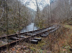
4.010 mi / 275 ft gainBeware, there is no actual trailhead! This trail (Lower Salmonberry River Hike) starts on Lower Nehalem Rd (Foss Rd) where the Salmonberry River and the Nehalem River meet. Before you cross the tracks, find parking there (but be aware of private property) and follow the train tracks into the fore...Read more -
Otis, Oregon
Hike Hart's Cove Trail
5.05 mi / 900 ft gainThe trail starts at the end of Forest Service Road 1861 which is closed January 1st through July 15th for wildlife conservation. This trail descends about 900 feet in elevation through a Sitka Spruce-Western Hemlock rain forest. You will cross two seasonal creeks and end at a prairie headland o...Read more

