Oregon
Looking for the best running in Oregon? We've got you covered with the top trails, trips, hiking, backpacking, camping and more around Oregon. The detailed guides, photos, and reviews are all submitted by the Outbound community.
Top Running Spots in and near Oregon
-
Halfway, Oregon
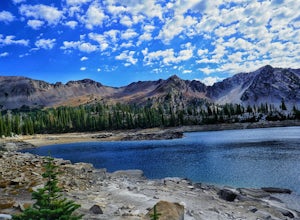
Eagle Cap Wilderness Loop
5.040.13 mi / 10630 ft gainThe top trip in Oregon's Eagle Cap Wilderness takes you in a loop around Eagle Cap, Oregon's 13th tallest peak and through three high mountain passes. East Eagle trailhead has two main parking lots, the first one you come to is a trailer parking lot meant for horse trailers, but make sure you dri...Read more -
Cascade Locks, Oregon
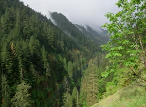
Backpack the Mark. O Hatfield Wilderness Via Eagle Creek
1.026 mi / 2300 ft gainThis is a somewhat incomplete report because we did not venture too far into the Mark O. Hatfield Wilderness. The sky had been threatening us with rain for the duration of our hike along Eagle Creek and we did not want to push our luck too far since we were hoping for an early start on our drive ...Read more -
Joseph, Oregon
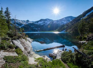
Backpack to Ice Lake in the Wallowas
5.018 mi / 3380 ft gainStarting at the end of Wallowa lake, this 18 mile roundtrip hike begins at 4,520' and remains pretty mellow over the first 2.5 miles. Total elevation gain of the hike is about 3380', ending at the Ice Lake which sits at 7,900'. Following the West-Fork Wallowa river trail 1820 for about 2 miles, u...Read more -
Portland, Oregon
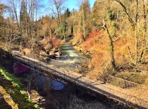
Run Springwater Corridor Trail
4.07 mi / 50 ft gainSpringwater Corridor is a 40-mile paved trail that stretches from downtown Portland all the way to Boring. This trail is wide, virtually flat, and yes, paved - but there is a clear manmade path on the dirt shoulders that's friendlier to knees. Any given day, you'll see dozens of cyclists and pede...Read more -
Jackson County, Oregon
Backpack to Devil's Peak and the Seven Lakes Basin
3.013.7 mi / 3050 ft gainStarting at at elevation of 5250 feet, the trail climbs steadily from the trailhead for approximately 3.3 miles to pass at 6900 feet. From here you will come to a junction where going right will lead to Devils Peak and the PCT and going left (straight) will take down into the basin. If you starte...Read more -
Portland, Oregon
Warrior Rock Lighthouse
4.06.04 mi / 148 ft gainThis is a perfect easy hike close to Portland on Sauvie Island that offers more than just a walk through a forest. At the end of the 3 mile trail is a long secluded beach and the Warrior Rock Lighthouse. This has become one of my favorite go-to runs on a summer weeknight evening or for a quieter ...Read more -
McMinnville, Oregon
Hike the Red Trail in Miller Woods
4.04 mi / 400 ft gainLocated three miles west of McMinnville and available for public hiking and activities, Miller Woods is owned and operated by Yamhill SWCD. You may choose different trails to take.From the parking lot the trails are marked by colors to go on the 4.0 mile loop go to the meadow and follow the red m...Read more -
Portland, Oregon
Run the Saltzman Road Trail
4.56 mi / 700 ft gainThis trail is an easy out and back from either the west or east side of Forest Park. The east trailhead is off NW Skyline Blvd, on Saltzman Road, which is a dirt/gravel road like the trail. You'll park near the gates where there aren't No Parking signs up (the land around the trail at this point ...Read more -
Beaverton, Oregon
Hike through Tualatin Hills Nature Park
2 miThis is an awesome place to escape to for a workout, or just a walk through the forest! You can make it a short walk, or turn it in to 6+ miles of loops! The one main trail is paved, but it’s not hard to find some single dirt track trails branching off and wandering through the trees, it can make...Read more -
Tillamook, Oregon
Explore Bayocean Peninsula Park
5.08 mi / 100 ft gainLocated just west of Tillamook on the way to Cape Meares is an expansive forested park that juts out into Tillamook Bay. The main "trail" is an old unpaved narrow road called Bayocean Dike Road that stretches 4 miles down to the point. It's perfect for a long run, leisurely hike or mountain bikin...Read more -
Mount Hood, Oregon
Timberline Loop Trail via the Top Spur Trail
4.02.26 mi / 627 ft gainStarting at the parking area, cross the dirt road to start hiking up from the Top Spur Trailhead. In 0.4 miles you will reach the Pacific Crest Trail intersection, take a right onto the Pacific Crest Trail. In a couple hundred feet you will reach a larger intersection of a bunch of different trai...Read more -
Oregon City, Oregon
Walk the Canemah Bluff Loop
4.51.6 mi / 200 ft gainYou'll never stumble upon Canemah Park unless you're really looking for it. Tucked away in the hills of Oregon City above the Locks, this residential park has a miniature-sized set of everything you'd expect in a children's park: Playground, picnic benches, bathrooms, and wide, forested trails. D...Read more -
Sisters, Oregon
Suttle Lake Loop
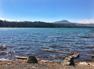
5.03.66 mi / 128 ft gainBeginning at the Suttle Lake Lodge just off Highway 20, the Suttle Lake Loop follows a wide dirt path that circumnavigates the entire lake. Hug the lake whenever the trail opens up to camping areas or pavement - it's nearly impossible to become lost on this track. Pass campsites, kayakers, and r...Read more -
Gladstone, Oregon
Run the Clackamette Park Loop
1.2 mi / 10 ft gainClackamette Park is known for its prime destination right off of the freeway and across from Oregon City's most popular shopping area, but it's frequented for its public boat dock, RV facilities, and handicap-accessible picnic benches. While the rest of Portland's parks freeze over or flood, Clac...Read more -
West Linn, Oregon
Run Old River Road to George Rogers Park
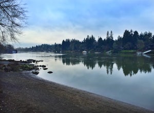
5.04.8 mi / 100 ft gainPortland and its surrounding suburbs are filled with trails and hidden treasures, including this stretch along the Willamette River. This road is a super popular pedestrian path and can be accessed from West Linn, the Mary's Woods and Marylhurst Development, or from Lake Oswego off of Highway 43....Read more -
11020 Southwest Denney Road, Oregon
Run the Fanno Creek trail
4 miThe parking lot marked is at the North end of the Fanno Creek trail, you can get on the paved path here and put on just about as many miles as you want! With the help of google maps on your phone you can follow trail hop all the way down to Tualatin! But if you're looking for a shorter workout yo...Read more

