Mount Hood Village, Oregon
Looking for the best photography in Mount Hood Village? We've got you covered with the top trails, trips, hiking, backpacking, camping and more around Mount Hood Village. The detailed guides, photos, and reviews are all submitted by the Outbound community.
Top Photography Spots in and near Mount Hood Village
-
Government Camp, Oregon
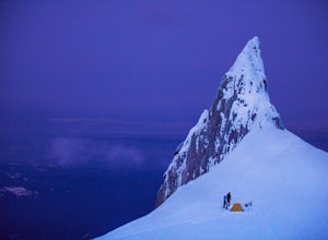
Climb to Mt. Hood's Illumination Rock
5.06 mi / 3600 ft gainThe Pacific Northwest has an abundance of beautiful, technical and fun Alpine ascents. For those looking to feel the rush of mountaineering but not wanting to push for a summit attempt, Illumination Rock on the southwest ridge of Mt Hood, offers a beautiful way to spend an afternoon or potential...Read more -
Government Camp, Oregon
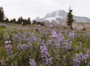
Photograph the Wildflowers at Timberline Lodge
4.0From the mount hood scenic byway in Government Camp, Oregon turn on the road that heads up to the Timberline Lodge. Follow that road to the end and park in the lot all the way at the top. In the ski season you need a pass to park there, but if you go in June, July, Or August (aka when the wildflo...Read more -
Government Camp, Oregon
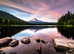
Trillium Lake
4.91.89 mi / 108 ft gainTrillium Lake is a popular camp spot at the base of Mount Hood. It's known for it's scenery, abundant recreational activities, and is family friendly. Boating, swimming and fishing are quite popular on the 63 acre lake. There is a small boat ramp within the campground and a larger ramp available ...Read more -
Sandy, Oregon
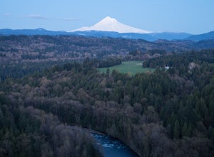
Photograph Jonsrud Viewpoint
4.5The view from this spot is definitely worth the drive, if you're visiting Portland or the Columbia River Gorge area I highly recommend taking the time to stop here. Not a lot of people know about this spot and its likely you'll be the only person/people there!If you get the chance, definitely com...Read more -
Corbett, Oregon
Hike to Upper Bridal Veil Falls
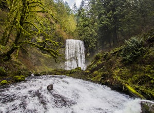
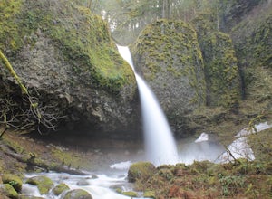
5.00.5 miAt the parking lot for Angel's Rest, turn left uphill on to Palmer Mill Road. Drive for about a mile, and park right past a tributary stream/small waterfall (pictured above) on your left that flows through a small pipe under the road. You will see a small space to park on the right. Park here and...Read more -
Mount Hood, Oregon
Snowshoe Mt. Hood's White River
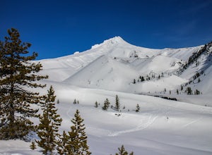
5.04 mi / 800 ft gainThe White River West Sno-Park is a hub of winter activities at Mt. Hood. At 4200', this area is easily accessed directly off of Route 35. The large parking lot fills up quickly on snowy weekends so arrive early to get a spot and make sure that you have an Oregon Sno-Park Permit*.The White River r...Read more -
Mount Hood, Oregon
Snowshoe to Umbrella Falls
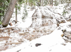
0.5 mi / 100 ft gainJust 66 miles east of Portland, and 35 miles south of Hood River the infamous Mt Hood breaks through the clouds for all to see. The highest peak of Oregon is the ultimate explorer's paradise offering something for every season... and in this case we mean snow shoeing and hiking!!Our trek begins ...Read more -
Mount Hood, Oregon
Cooper Spur
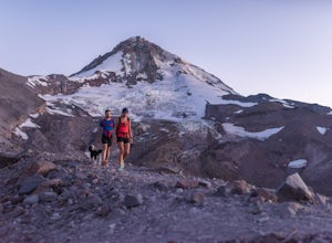
5.06.87 mi / 3097 ft gainCooper Spur is located on the north east side of Mount Hood. This is the hike to do if you want to get up close and personal with the mountain. To get there you have to drive around 10 miles up a bumpy dirt road, once off the main road. Low-clearance vehicles can make it but high clearance vehic...Read more -
Cascade Locks, Oregon
Multnomah-Wahkeena Loop
4.35.11 mi / 2162 ft gainThe Multnomah-Wahkeena loop is a classic hike in the Columbia Gorge. Few hikes take you by as many waterfalls, and the tree cover makes it a great hike in the rain. Starting at the Multnomah Falls Parking Area, head to the main viewing area of Multnomah Falls. If you get there early in the morn...Read more -
Cascade Locks, Oregon
Horsetail Falls Loop
4.52.56 mi / 610 ft gainStart off on this loop from Horsetail Falls Trailhead. It never hurts to start a hike with a view of Horsetail Falls. This 2.5 mile loop will start you off on Gorge trail #400 up Horsetail Falls Trail. You’ll encounter a few switchbacks before the trail flattens out and leads you into the valley ...Read more -
Cascade Locks, Oregon
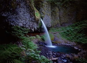
Ponytail Falls
4.60.85 mi / 463 ft gainPonytail Falls is an easy 0.8 mile hike located in the gorge that begins at Horsetail Falls. After hiking up mild switchbacks, continue to your right at the first trailhead intersection. The path levels out before coming around the mountain and opening up to the waterfall. This is the easiest wa...Read more -
Corbett, Oregon
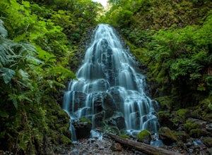
Fairy Falls
4.82.02 mi / 1293 ft gainFairy Falls sits in the heart of the Columbia River Gorge, not much more than a mile from the Wahkeena Trailhead. The parking lot is right off the Old Columbia River Highway and will be packed with cars in the summer. Head up the trail towards Wahkeena Falls, which is not far up the hill. This f...Read more -
Corbett, Oregon
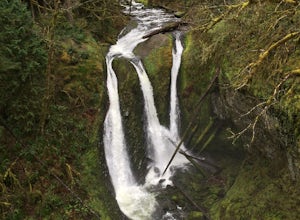
Triple Falls
4.53.4 mi / 1168 ft gainAccess to Triple Falls is currently closed. Learn more on the Forest Service Site. This hike, starting at the Oneonta Trailhead is a 3.2 mile roundtrip. You will gain approximately 600 feet in elevation as the trail often switches from moderate flat easy hiking to more difficult elevation gain a...Read more -
Cascade Locks, Oregon
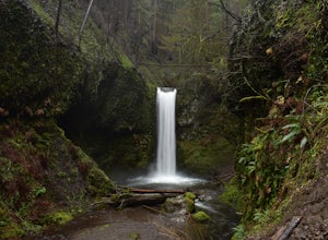
Wiesendanger Falls
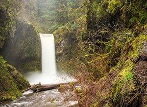
3.02 mi / 1591 ft gainYou can get on the trail in about 45 minutes from Portland and 35 minutes from Hood River via I-84. Once you get out of your car in the Multnomah Falls parking lot, head over to the historic Multnomah Falls Lodge. This is a neat place to check out after your hike. Then, follow the crowds to the ...Read more -
Multnomah County, Oregon
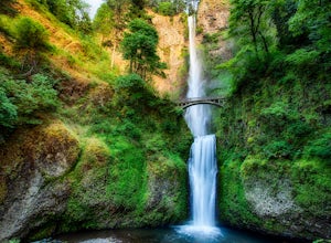
Multnomah Falls
4.22.61 mi / 1214 ft gainMultnomah Falls is worth a quick stop anytime you're visiting the Columbia River Gorge National Scenic Area in Oregon. This waterfall is the tallest in Oregon at 620 feet and the third largest in the Pacific Northwest behind Bridal Veil Falls (1,289 feet) and Green Lake Falls (979 feet) and has a...Read more -
Cascade Locks, Oregon
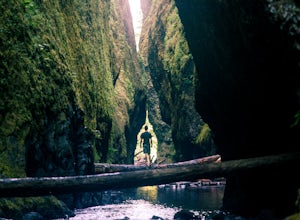
Oneonta Gorge
4.80.92 mi / 531 ft gain*Currently closed (except a small portion of the upper trail between Multnomah Spur and Trail #444 on Larch Mountain)...here This hike is very short (1 mile roundtrip) but does take some time to do. The trail leads down from the road into a stream bed. You follow the stream bed upstream through ...Read more

