Marion Forks, Oregon
Top Spots in and near Marion Forks
-
Lane County, Oregon
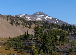
Summit Middle Sister via Renfrew Glacier
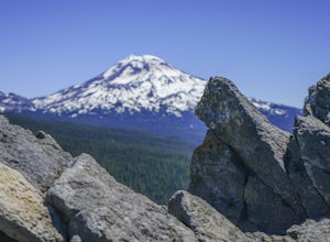
20 mi / 6000 ft gainIf you’ve been anywhere near Central Oregon, you’ve seen the Three Sisters Mountains dominate the skyline. Each of these volcanoes exceeds 10,000 ft. and are some of the highest peaks in the state of Oregon. Though they are truly considered sister peaks to one another, each has unique climbing ro...Read more -
Lane County, United States
Backpack the Obsidian Area
4.46 mi / 1800 ft gainThe Obsidian area is at least six miles from the closest trail head and 1800 feet of elevation gain. The best way to see the area is to plan a multi-day backpacking adventure. It is limited entry which is strictly enforced by the Forest Service. Only 30 day hikers and 40 overnight hikers are al...Read more -
Lane County, Oregon
Belknap Hot Springs
4.5This is a popular, family friendly spot, complete with two pools, indoor lodging, RV and tent camping, and hiking trails. The pools are kept at 185-195 degrees, with the smaller of the two being reserved for overnighters only. Day visitors are charged an hourly fee.Read more -
Sisters, Oregon
The Sisters to Smith Rock Ride
5.036.6 mi / 597 ft gainStarting in the "Old West" town of Sisters, Oregon and ending at Smith Rock State Park outside the small town of Terrebonne, this route takes riders past a variety of historical sites, shows the gentle curves of the Deschutes River and frames spectacular views of the Cascade Mountains, and ends w...Read more -
Sisters, Oregon
Mountain Bike the Peterson Ridge Trail
1.016.1 mi / 1167 ft gainBend, Oregon has a deserved reputation as one of the top mountain bike destinations in the country. Unless you are from the area, you might not be familiar with nearby Sisters. Sisters is a sleepy western-themed town of 3,000 better known for it's annual rodeo and quilt festival but the locals ha...Read more -
Cascadia, Oregon
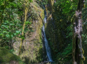
Hike to Soda Creek Falls
5.01.5 mi / 370 ft gainSoda Creek Falls flows 150 feet down a curvy basalt rock groove at Cascadia State Park. The trail follows Soda Creek through a lush Oregon rain forest. The site was a former hotel and health spa with the mineral water from the creek as the main attraction. The park has a small campground, and pic...Read more -
Lane County, Oregon
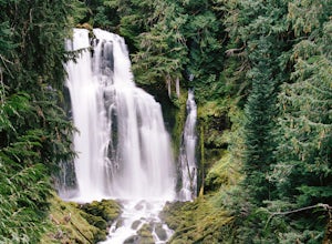
Linton Falls
4.54 mi / 900 ft gainNOTE: There is no development of viewing areas or trails, which makes for more of a wilderness experience than other waterfalls in the region. There may also be fallen trees blocking the trail, making this adventure more challenging. Hiking to Linton Falls accounts for the two larger waterfalls...Read more -
Lane County, Oregon
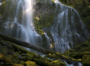
Proxy Falls
5.01.51 mi / 374 ft gainThis is one of the most amazing waterfalls in Oregon. The size is unbelievable – especially when you’re standing right underneath it, which I would recommend anyone to do (just be prepared for a misty shower) The hike is Easy! It’s only about 2 miles round trip. I remember going here when I was ...Read more -
Lane County, Oregon
Substitute Point via Foley Ridge Trail
9.75 mi / 1900 ft gainThis is a viewless hike until you reach Substitute Point. You are then rewarded with an amazing view. From the trailhead (#3511) you will travel 4.3 miles on an unmaintained trail into the Three Sisters Wilderness to the junction of Substitute Point. The trail has lots of fallen trees you must c...Read more -
Foster, Oregon
Bouldering on the Siren
This boulder is to the right of Garden Variety...if you know then you know.An excellent problem with a lot of movement. Works up the stand alone prow near Garden Variety. Start low and heal out right on a good ledge. From there work up to the inverted V pinch and left to the arete. From there it ...Read more -
Deschutes County, Oregon
Chush Falls
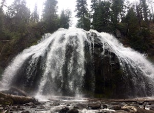
3.35.75 mi / 823 ft gainJust outside of Sisters, Oregon, near Bend, is a beautiful hike to a picturesque waterfall. It is rarely crowded thanks (and no thanks) to the Pole Creek Fire, which ravaged the area several years ago. Because of the fire, the hike and landscape have been drastically altered. What used to be a 2-...Read more -
Scotts Mills, Oregon
Upper Butte Creek Falls
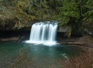
4.00.73 mi / 308 ft gainFrom Scott Mills Follow Crooked Finger RD NE for 13.3 Miles to the Upper Butte Creek Trailhead. The last 2-3 miles or so is gravel road with some potholes but most cars shouldn't have a problem. The path down to the falls starts near the bathrooms. A short .3 mile walk on a few switchbacks and...Read more -
Clackamas County, Oregon
Camp at Timothy Lake
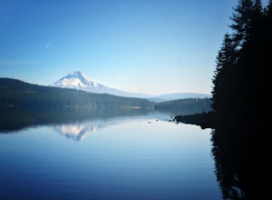
4.5Timothy Lake is one very large, man-made lake in the heart of Mt. Hood National Forest, and can be considered one of the best summer camping spots in the area. With more than ten campgrounds to choose from, this area can accommodate almost every type of camping possible - everything from cabin re...Read more -
Estacada, Oregon
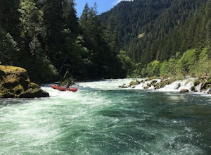
Raft the Wild and Scenic Clackamas River
5.0The Wild and Scenic Clackamas River above the North Fork Reservoir is a great destination for paddlers and only about an hour drive from downtown Portland. This popular 13.5 mile section of river lies within the Mt. Hood National Forest and offers continuous class II-III boating with a little cla...Read more -
Terrebonne, Oregon
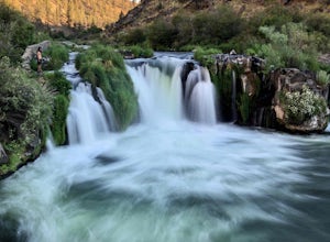
Steelhead Falls
1.98 mi / 148 ft gainSteelhead Falls is an out-and-back trail that takes you by a waterfall located near Terrebonne, Oregon.Read more -
Terrebonne, Oregon
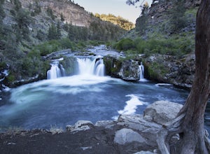
Hike to Steelhead Falls
4.81 mi / 120 ft gainFollowing along the Dechutes river for half a mile you will see where the river progressively gets more aggressive. On both sides of the trail you will see beautiful mountain inclines and jagged cliffs. If your lucky you might just see a bald eagle soaring high above! Along with Steel Head being ...Read more


