Lowell, Oregon
Looking for the best hiking in Lowell? We've got you covered with the top trails, trips, hiking, backpacking, camping and more around Lowell. The detailed guides, photos, and reviews are all submitted by the Outbound community.
Top Hiking Spots in and near Lowell
-
Lane County, Oregon
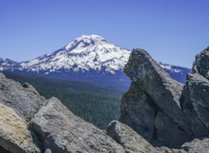
Substitute Point via Foley Ridge Trail
9.75 mi / 1900 ft gainThis is a viewless hike until you reach Substitute Point. You are then rewarded with an amazing view. From the trailhead (#3511) you will travel 4.3 miles on an unmaintained trail into the Three Sisters Wilderness to the junction of Substitute Point. The trail has lots of fallen trees you must c...Read more -
Monroe, Oregon
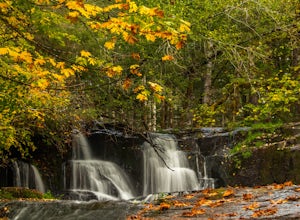
Alsea Falls and Green Peak Falls
4.32.4 mi / 269 ft gainThis is a great and easy day hike that features two waterfalls - Alsea Falls and Green Peak Falls - amid beautiful Oregon Coast Range scenery. This hike is perfect for a family trip as the trail is dog-friendly, the Alsea River serves as a swimming hole on hot days, and there is a picnic area jus...Read more -
Linn County, Oregon
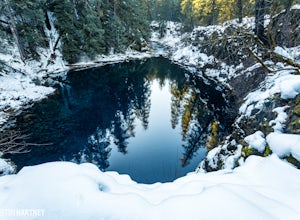
Tamolitch Blue Pool
5.03.56 mi / 253 ft gainThe hike out to Tamolitch Pool, or "Blue Pool," is 2 miles each way and follows the McKenzie River to a lava flow pool. Off Highway 126 14 miles east of McKenzie Bridge, turning into the Trailbridge Campground, drive right 1/3 of a mile to the trailhead. The trail is relatively flat, which gives ...Read more -
Foster, Oregon
Iron Mountain
4.71.79 mi / 610 ft gainGetting There There are a couple of different routes to the summit of Iron Mountain. This adventure article focuses on the shorter but more strenuous hike to the summit of Iron Mountain. To get there, drive to the upper trailhead (Trail # 3389) via Highway 20. Take Forest Service Road (FSR) 035 ...Read more -
Lane County, Oregon
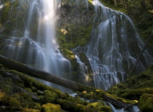
Proxy Falls
5.01.51 mi / 374 ft gainThis is one of the most amazing waterfalls in Oregon. The size is unbelievable – especially when you’re standing right underneath it, which I would recommend anyone to do (just be prepared for a misty shower) The hike is Easy! It’s only about 2 miles round trip. I remember going here when I was ...Read more -
Lane County, Oregon
Linton Falls
4.54 mi / 900 ft gainNOTE: There is no development of viewing areas or trails, which makes for more of a wilderness experience than other waterfalls in the region. There may also be fallen trees blocking the trail, making this adventure more challenging. Hiking to Linton Falls accounts for the two larger waterfalls...Read more -
Douglas County, Oregon
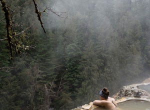
Umpqua Hot Springs
3.70.52 mi / 108 ft gainWhen you arrive at the hot springs you'll see a bathroom and large dumpster in a small gravel parking lot. From the parking lot you'll see a bridge which leads to the trail up to the springs. Its a 0.25 mile walk up to seven different pools, sitting 150ft. above the North Umpqua River. All the ho...Read more -
Crescent, Oregon
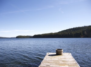
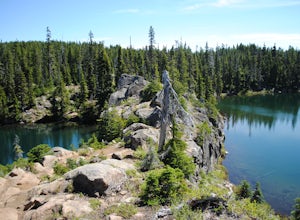
Odell Lake
5.010 mi / 65 ft gainThis spot in central Oregon is a beautiful, natural lake where you can combine a nice hike with an afternoon of fishing. There are opportunities for multiple hikes surrounding the lake that are moderately challenging hikes and also remain scenic throughout the 10 mile trek around the lake. Relax...Read more -
Clearwater, Oregon
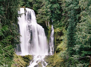
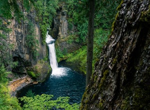
Toketee Falls
4.60.79 mi / 98 ft gainToketee Falls is one of the most famous waterfalls in all of Oregon, renowned for the graceful columnar basalt formation framing the two-stepped falls. The North Umpqua River has carved a sinuous gorge out of the lava flow, resulting in a waterfall of 113 feet in height - a 28 foot upper tier whi...Read more -
Lane County, Oregon
Tenas Lakes via Benson Lake Trail
3.54.93 mi / 755 ft gainStarting from Scott Lake in the Willamette National Forest, take the Benson Lake Trail head that starts at the end of the road. This climbs gradually up to Benson Lake, a large, deep, cold lake. From there follow the trail up until you see a junction and a sign to Tenas Lakes. Follow this trail u...Read more -
Linn County, Oregon
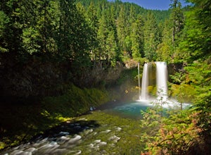
Koosah Falls Trail
5.00.86 mi / 180 ft gainKoosah Falls Trail is an out-and-back trail that takes you by a waterfall located near Sisters, Oregon.Read more -
Sisters, Oregon
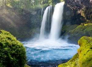
Sahalie and Koosah Falls Loop
4.82.42 mi / 545 ft gainThis loop might be on the shorter side, but the hike is more than worth it for the scenery. Start at Sahalie Falls, a 100-foot tall waterfall pouring into the river below and covering the moss-covered valley with cool mist. Continue down the trail, walking past the 70-foot Koosah Falls, and finis...Read more -
Lane County, Oregon
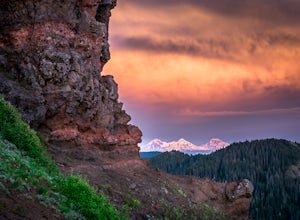
Summit Middle Sister via Renfrew Glacier
20 mi / 6000 ft gainIf you’ve been anywhere near Central Oregon, you’ve seen the Three Sisters Mountains dominate the skyline. Each of these volcanoes exceeds 10,000 ft. and are some of the highest peaks in the state of Oregon. Though they are truly considered sister peaks to one another, each has unique climbing ro...Read more -
Lane County, United States
Backpack the Obsidian Area
4.46 mi / 1800 ft gainThe Obsidian area is at least six miles from the closest trail head and 1800 feet of elevation gain. The best way to see the area is to plan a multi-day backpacking adventure. It is limited entry which is strictly enforced by the Forest Service. Only 30 day hikers and 40 overnight hikers are al...Read more

