Hillsboro, Oregon
Top Spots in and near Hillsboro
-
Nehalem, Oregon
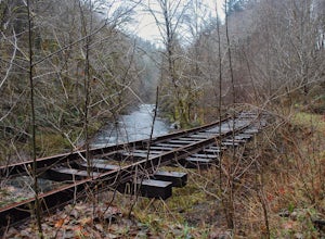
Hike the Salmonberry Train Track Trail
4.010 mi / 275 ft gainBeware, there is no actual trailhead! This trail (Lower Salmonberry River Hike) starts on Lower Nehalem Rd (Foss Rd) where the Salmonberry River and the Nehalem River meet. Before you cross the tracks, find parking there (but be aware of private property) and follow the train tracks into the fore...Read more -
Corbett, Oregon
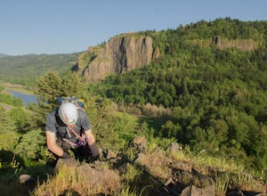
Climb Rooster Rock
5.0Head to Rooster Rock State Park off exit 25 on I-84 E in the Columbia River Gorge. Park at the west end of the park.There are multiple paths at the west end of the park heading south to I-84. If you go too far west, you will hit water. Pick one of these paths which lead to the edge of the freeway...Read more -
Corbett, Oregon
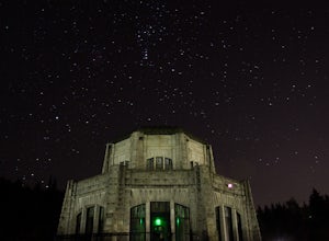
Night Sky Shooting at Vista House
3.0The Vista House located in the Columbia River Gorge offers those looking to photograph the night sky without traveling long distance from Portland the opportunity to do so. Vista House is just far enough away from Portland's light pollution to allow you to capture enough stars on a clear night.T...Read more -
Beaver, Oregon
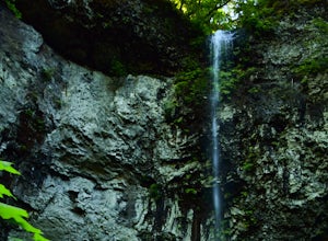
Hike to Niagara Falls, OR
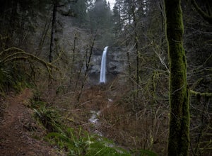
4.04 mi / 800 ft gainGetting There Get onto Highway 101. Between Tillamook and Lincoln City at the town of Beaver, turn east near mile marker 80 onto a paved road toward upper Nestucca River. Follow this scenic road 6.7 miles to the town of Blaine. Stay to the right and drive another 4.8 miles; between mile markers 1...Read more -
Corbett, Oregon
Latourell Falls Loop
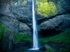
4.72.02 mi / 820 ft gainLatourell Falls is a beautiful and unique waterfall in the Columbia River Gorge in Oregon. This amazing waterfall is just a few hundred yards from the road and parking lot. Once you park, there is a viewpoint for the falls that is straight ahead. The view from there isn't that great compared to ...Read more -
Yacolt, Washington
Hike Silver Star Mountain via Grouse Vista
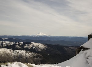
4.56 mi / 2000 ft gainThe Grouse Vista Trailhead is located through the town of Washougal off of highway 14 just past Camas. Once you leave the city, the road will turn to gravel and dirt though it is fairly well maintained until snow arrive and accessible by most cars so long as you're willing to get drive over loose...Read more -
Beaver, Oregon
Hike to Pheasant Creek Falls
4.04 mi / 800 ft gainHike: The hike to Pheasant Creek Falls is just short continuation of nearby Niagara Falls. After reaching Niagara Falls, continue on the trail for about another 300 feet and you'll reach the more impressive, Pheasant Creek Falls.For more detailed information including a trail map and directions ...Read more -
Corbett, Oregon
Bridal Veil Falls
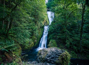
4.10.54 mi / 144 ft gainThe trailhead for this short hike is right off of the Columbia River Highway just west of Multnomah Falls. You can't miss the parking lot for it; there is a sign for Bridal Veil and the parking lot is visible from the road. The hike is only 0.6 miles and has hardly any elevation gain (70 feet). ...Read more -
Washougal, Washington
Cape Horn Trail
4.36.76 mi / 1795 ft gainThe Cape Horn Trail is great for those who are short on time, but still want to get outside for something close by with great views. Located just 35 min east of Portland, the Cape Horn Trail offers a few different possibilities for you to hike. The whole loop (lower section is closed from Feb 1s...Read more -
Tillamook, Oregon
Short Hike to Munson Creek Falls
4.00.4 miLocated just outside of Tillamook, Oregon, Munson Creek Falls is a must do if you're in the area. Standing at almost 320 feet tall, Munson Creek Falls is one of few waterfalls in Oregon that is over 300ft tall.Because of heavy storms in the area there has been a build up of fallen trees around th...Read more -
Bridal Veil, Oregon
Angel's Rest
4.34.45 mi / 1568 ft gainThe Columbia River Gorge is absolutely full of incredible hikes - that said, this is one of the best and requires less time and energy than some of the others. Starting at a paved parking lot right off the Historic Columbia River Gorge Highway (note: it's a very popular trail so arrive early or ...Read more -
Bridal Veil, Oregon
Devil's Rest-Wahkeena Falls Loop
4.09.82 mi / 2779 ft gainThis loop takes advantage of the western Columbia River Gorge's vast network of trails - hidden behind the roadside waterfalls - to allow you to visit several popular attractions without fighting traffic along the historic highway. All told, the loop hits 3 named waterfalls (Coopey Falls, Fairy F...Read more -
Yacolt, Washington
Hike Silver Star Mountain
4.6Silver Star is simply a must-do hike for adventure lovers here in the Northwest!From the parking area, take the main trail up to the first open meadow. Eds Trail splits off here, meeting back up just before the summit. Be warned, Eds Trail is much steeper in sections and is more difficult than th...Read more -
Clatskanie, Oregon
Beaver Falls Trail
3.00.58 mi / 0 ft gain…Beaver Falls is one of those spots where if you’re looking to avoid the crowd of the Columbia River Gorge, this is another good alternative on where you could go. Not only is that a huge plus, but it’s not often you get to experience a scenic waterfall that you don’t have to put in a ton of effo...Read more -
Corbett, Oregon
Hike to Upper Bridal Veil Falls
5.00.5 miAt the parking lot for Angel's Rest, turn left uphill on to Palmer Mill Road. Drive for about a mile, and park right past a tributary stream/small waterfall (pictured above) on your left that flows through a small pipe under the road. You will see a small space to park on the right. Park here and...Read more -
Molalla, Oregon
Huckleberry, Mark's and Looney's Gate Loop
4.03.72 mi / 702 ft gainHuckleberry, Mark's and Looney's Gate Loop is a loop trail that takes you through a nice forest located near Molalla, Oregon.Read more

