Dorena, Oregon
Looking for the best hiking in Dorena? We've got you covered with the top trails, trips, hiking, backpacking, camping and more around Dorena. The detailed guides, photos, and reviews are all submitted by the Outbound community.
Top Hiking Spots in and near Dorena
-
Douglas County, Oregon
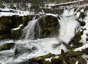
Muir Creek Falls
5.01.08 mi / 135 ft gainMuir Creek Falls Trail is an out-and-back trail that takes you by a waterfall located near Crater Lake, Oregon.Read more -
Sweet Home, Oregon
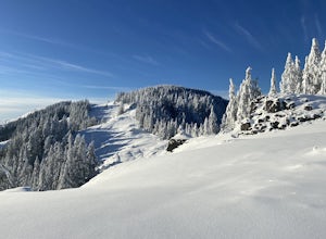
Horse Rock Ridge Research Natural Area
5.03.74 mi / 951 ft gainHorse Rock Ridge Research Natural Area in Sweet Home, Oregon, offers a unique hiking trail that spans approximately 3.74 miles. The trail is moderately difficult, with an elevation gain of 951 feet, making it suitable for intermediate hikers. The trail begins in a dense forest of Douglas fir and ...Read more -
Crescent, Oregon
Base of Mt. Thielsen via Mt. Thielsen Trail
4.77.26 mi / 1926 ft gainThe Trail begins at Mt. Thielsen Trailhead/Sno Park and takes you up through a vast forest of pines. As you ascend, Diamond Lake will slowly start to peak through. Continue straight at mile marker 1.6 and keep an eye out for Mt. Thielsen ahead. Just before entering Mount Thielsen Wilderness aroun...Read more -
Crescent, Oregon
Mt. Thielsen Summit
2.88.88 mi / 3291 ft gainIt may look quite intimidating from the base and surrounding areas but this hike/climb to the summit is quite straightforward and the standard route is non-technical. That being said, there are areas with some significant exposure with 2200 foot drops on its north and east faces that will definit...Read more -
Douglas County, Oregon
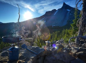
Mt. Bailey and Hemlock Butte Cabin
11.09 mi / 3192 ft gainThe trail starts at 5200 feet and climbs through the forest for 1.6 miles to an opening with a great view off diamond lake and the beautiful and very recognizable Mt. Thielsen. There are several small outcropping here that make a perfect spot to stop and get out the backpacking stove for some mou...Read more -
Bend, Oregon
Hike to Lucky Lake
5.02.5 mi / 405 ft gainLocated just 4.36 miles past the popular Elk Lake Day Use turnoff, the trailhead is on the right side of the highway, marked by a small 'trailhead' sign. The hike begins at the Senoj Lake Trailhead and climbs up to the lake for 1.26 miles. Once you reach the lake, you can choose to go left or rig...Read more

