Deschutes County, Oregon
Looking for the best photography in Deschutes County? We've got you covered with the top trails, trips, hiking, backpacking, camping and more around Deschutes County. The detailed guides, photos, and reviews are all submitted by the Outbound community.
Top Photography Spots in and near Deschutes County
-
Bend, Oregon
Green Lakes Trail
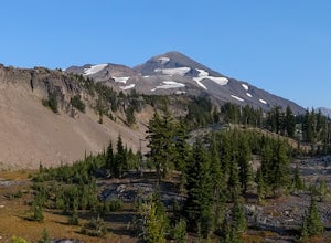
4.79.19 mi / 1240 ft gainThis 8.5 mile roundtrip hike to Green Lakes basecamp gains elevation gradually as it meanders along beautiful Fall Creek with numerous small cascades. Depending on the season (expect significant snow on the trail through early-to-mid June) the stark contrast of the snow with creek is beautiful, t...Read more -
Deschutes County, Oregon
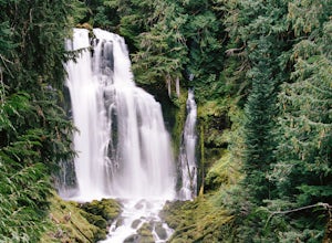
Chush Falls
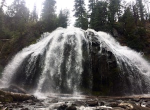
3.35.75 mi / 823 ft gainJust outside of Sisters, Oregon, near Bend, is a beautiful hike to a picturesque waterfall. It is rarely crowded thanks (and no thanks) to the Pole Creek Fire, which ravaged the area several years ago. Because of the fire, the hike and landscape have been drastically altered. What used to be a 2-...Read more -
Fort Rock, Oregon
Explore Fort Rock State Park
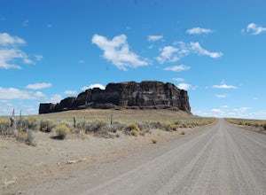
4.5There's a great beginners hike inside the rock crater itself, and if you drive on the dirt road on the south side of the rock you can get to some great vista points and photography spots.This is great during the day or night (amazing starry views on clear nights), and you can get here any time of...Read more -
Prineville, Oregon
Fly Fish Crooked River
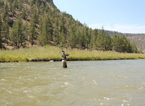
5.0Head East out of Bend, Oregon towards Prineville Reservoir State Park and Highway 27, which runs along the Crooked River. It is about an hour outside of Bend. Once you reach Highway 27 (Crooked River Highway), there are several campgrounds and pull-outs along the side of the road where you can st...Read more -
Sisters, Oregon
Mountain Bike the Peterson Ridge Trail
1.016.1 mi / 1167 ft gainBend, Oregon has a deserved reputation as one of the top mountain bike destinations in the country. Unless you are from the area, you might not be familiar with nearby Sisters. Sisters is a sleepy western-themed town of 3,000 better known for it's annual rodeo and quilt festival but the locals ha...Read more -
Sisters, Oregon
The Sisters to Smith Rock Ride
5.036.6 mi / 597 ft gainStarting in the "Old West" town of Sisters, Oregon and ending at Smith Rock State Park outside the small town of Terrebonne, this route takes riders past a variety of historical sites, shows the gentle curves of the Deschutes River and frames spectacular views of the Cascade Mountains, and ends w...Read more -
Terrebonne, Oregon
Smith Rock State Park Loop
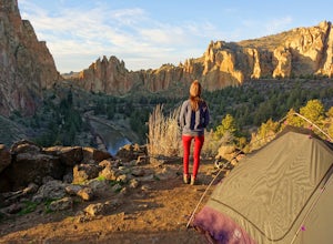
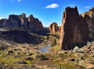
4.95.55 mi / 1325 ft gainPark your vehicle in the bivouac parking area and hike 200 yards west to the tent campsites. Set up your home away from home at one of the undesignated cliff side campsites overlooking the park. Although it is famous for rock climbing, Smith Rock also boasts an extensive trail system. The best h...Read more -
Terrebonne, Oregon
Summit Trail Loop at Smith Rock
4.66.87 mi / 1506 ft gainSmith Rock State Park is an iconic PNW canyon that's become one of the rock climbing capitals of the country, and known worldwide for its sport climbing routes. And while climbing draws crowds year-round, adventurers also visit for its trail system boasting sweeping Central Oregon volcano views. ...Read more -
Lane County, United States
Backpack the Obsidian Area
4.46 mi / 1800 ft gainThe Obsidian area is at least six miles from the closest trail head and 1800 feet of elevation gain. The best way to see the area is to plan a multi-day backpacking adventure. It is limited entry which is strictly enforced by the Forest Service. Only 30 day hikers and 40 overnight hikers are al...Read more -
Deschutes County, Oregon
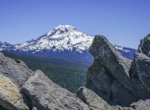
Dee Wright Observatory
4.70.93 mi / 20 ft gainOn your way to Proxy Falls from Bend? Stop by the Dee Wright Observatory to take some photos of the gorgeous mountains. The Observatory is at the summit of McKenzie Pass in Oregon's Cascade Mountains. Built right in the middle of a large lava flow, the open structure itself is actually construct...Read more -
Terrebonne, Oregon
Hike to Steelhead Falls
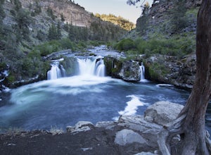
4.81 mi / 120 ft gainFollowing along the Dechutes river for half a mile you will see where the river progressively gets more aggressive. On both sides of the trail you will see beautiful mountain inclines and jagged cliffs. If your lucky you might just see a bald eagle soaring high above! Along with Steel Head being ...Read more -
Deschutes County, Oregon
Summit Black Crater
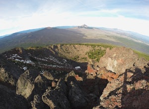
5.08 mi / 2211 ft gainThe Black Crater Trailhead parking lot is accessed off the McKenzie Pass (Hwy 242). The trailhead starting elevation is 5,040ft. (using the iPhone app "Topo Maps". Great app) with a 3.8 Mile hike one way to the Black Crater Summit at 7,251ft of elevation. Some parts of the trail are steep and g...Read more -
Crescent, Oregon
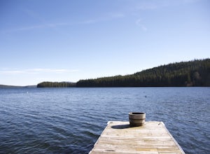
Odell Lake
5.010 mi / 65 ft gainThis spot in central Oregon is a beautiful, natural lake where you can combine a nice hike with an afternoon of fishing. There are opportunities for multiple hikes surrounding the lake that are moderately challenging hikes and also remain scenic throughout the 10 mile trek around the lake. Relax...Read more -
Lane County, Oregon
Linton Falls
4.54 mi / 900 ft gainNOTE: There is no development of viewing areas or trails, which makes for more of a wilderness experience than other waterfalls in the region. There may also be fallen trees blocking the trail, making this adventure more challenging. Hiking to Linton Falls accounts for the two larger waterfalls...Read more -
Lane County, Oregon
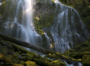
Proxy Falls
5.01.51 mi / 374 ft gainThis is one of the most amazing waterfalls in Oregon. The size is unbelievable – especially when you’re standing right underneath it, which I would recommend anyone to do (just be prepared for a misty shower) The hike is Easy! It’s only about 2 miles round trip. I remember going here when I was ...Read more -
Lane County, Oregon
Substitute Point via Foley Ridge Trail
9.75 mi / 1900 ft gainThis is a viewless hike until you reach Substitute Point. You are then rewarded with an amazing view. From the trailhead (#3511) you will travel 4.3 miles on an unmaintained trail into the Three Sisters Wilderness to the junction of Substitute Point. The trail has lots of fallen trees you must c...Read more


