Clearwater, Oregon
Looking for the best photography in Clearwater? We've got you covered with the top trails, trips, hiking, backpacking, camping and more around Clearwater. The detailed guides, photos, and reviews are all submitted by the Outbound community.
Top Photography Spots in and near Clearwater
-
Cascade Summit, Oregon
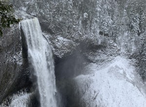
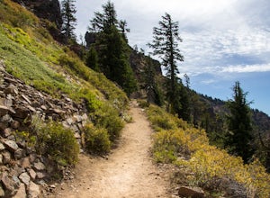
Diamond Creek Falls
5.02.92 mi / 443 ft gainThe beginning of this trail starts at the parking lot of Salt Creek Falls, right off of the 58 freeway. During the winter months, there's a gate blocking the road to the parking lot. You can park at the gate and it's a 0.6 mile walk to the beginning of the Salt Creek Falls trailhead. If you haven...Read more -
CRATER LAKE, Oregon
Hike the Garfield Peak Trail
5.03.5 mi / 1010 ft gainCrater Lake is one of the most visited natural wonders in the U.S. Anyone who has gone will tell you, it strikes a magic chord. Where there was once the volcanic Mount Mazama, now sits the deepest lake in the States. It's brilliant blue color and incredible depth of clarity leaves visitors from a...Read more -
Lane County, Oregon
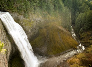
Salt Creek Falls
4.50.65 mi / 141 ft gainLocated off of the 58 Freeway, Salt Creek Falls is the second tallest waterfall in Oregon. The powerful cascade pours into a scenic canyon below, with beautiful surrounding views. You can drive almost right up to the falls, which is either great or anti-climactic, depending on your outlook. Turn...Read more -
Crescent, Oregon
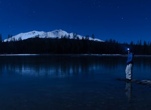
Diamond View Lake via Trapper Creek
9.88 mi / 1070 ft gainDiamond View Lake is relatively unknown compared to many of the other lakes in the Oregon Cascades, yet the views it delivers of Diamond Peak are top-notch. While it can also be done as a summer backpack, winter brings out the best aspects of the scenery - low-angle light on Diamond Peak, long n...Read more -
CRATER LAKE, Oregon
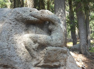
Visit the Lady of the Woods at Crater Lake
0.3 mi / 100 ft gainStart your adventure behind the Steel Visitor Center, halfway between the Mazama Village entrance of Crater Lake National Park and the lake itself. It won't take long before you stumble upon the mystery that is the Lady of the Woods: a dazzling, intricate sculpted rock that experts are unsure whe...Read more -
Crescent, Oregon
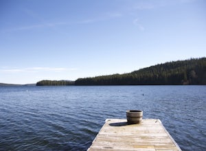
Odell Lake
5.010 mi / 65 ft gainThis spot in central Oregon is a beautiful, natural lake where you can combine a nice hike with an afternoon of fishing. There are opportunities for multiple hikes surrounding the lake that are moderately challenging hikes and also remain scenic throughout the 10 mile trek around the lake. Relax...Read more -
Dorena, Oregon
Hike to Spirit, Moon, and Pinard Falls
4.22.8 mi / 630 ft gainSpirit Falls is the first stop on this adventure. From the parking pull-out walk a short distance of 0.4 miles to the 40 foot fan falls. Don't let the small size deter you, this is a pretty little falls, with a lovely stroll through an old growth forest and beautiful little trilliums. There is a ...Read more -
Klamath County, Oregon
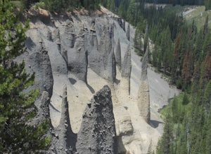
Hike through Pinnacles Valley at Crater Lake NP
3.01 mi / -100 ft gainThese needle-like formations of rock, called fossil fumaroles, projecting from the Sand Creek Canyon floor, were formed under sheets of volcanic pumice that preceded Mazama's collapse. As the surface of the hot pumice cooled over the years, steam and gases were released by the hot rocks underneat...Read more -
Prospect, Oregon
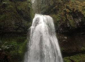
Explore Pearsony Falls
0.5 miPearsony falls, located in the Oregon State Park known as Prospect State Scenic Viewpoint, is about 15 feet tall and cascades picturesquely in two sections underneath a green canopy and between mossy rocks. The falls flow year round, though water levels vary with the season. A trip to Pearsony Fa...Read more -
Prospect, Oregon
Mill Creek Falls & Barr Creek Falls
5.01.54 mi / 315 ft gainMill Creek Falls is a lesser-known gem in Southern Oregon. At 173 ft it is one of the tallest in the area, and Barr Creek Falls, plunging 240 ft, is less than a quarter mile further down the trail. The viewpoints can be accessed year-round though flows often fluctuate and spring/winter may best f...Read more -
Jackson County, Oregon
Backpack to Devil's Peak and the Seven Lakes Basin
3.013.7 mi / 3050 ft gainStarting at at elevation of 5250 feet, the trail climbs steadily from the trailhead for approximately 3.3 miles to pass at 6900 feet. From here you will come to a junction where going right will lead to Devils Peak and the PCT and going left (straight) will take down into the basin. If you starte...Read more

