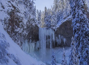
Clackamas, Oregon
Looking for the best photography in Clackamas? We've got you covered with the top trails, trips, hiking, backpacking, camping and more around Clackamas. The detailed guides, photos, and reviews are all submitted by the Outbound community.
Top Photography Spots in and near Clackamas
-
Marion County, Oregon
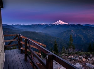
Gold Butte Fire Lookout
4.32.44 mi / 741 ft gainGold Butte Fire Lookout is a real gem in the Willamette National Forest. At 4618 feet elevation, the nearby Cascade Mountain views are nothing short of spectacular! At the summit, sits a L-4 Ground Structure Type Fire Lookout that was built in1934 to be used as a Fire Lookout. Additionally, durin...Read more -
Tillamook, Oregon
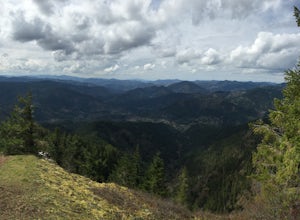
King's Mountain
4.54.47 mi / 2461 ft gainKing's Mountain may be one of the most consistent hikes in the greater Portland area gaining 2,500 vertical-feet over 2.5 miles almost evenly the entire time. The trail starts out at a marked trailhead just west of the Elk Mountain campground (stop there for water and more restrooms in summer &a...Read more -
Carson, Washington
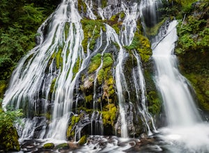
Panther Creek Falls
4.60.64 mi / 180 ft gainThis hidden beauty is just north of Carson, Washington. Watch for Panther Creek campground signs and follow the twisting road about 7 miles to a rock quarry and park there. The trail begins just off the road about 50 yards back - keep an eye out for signs for the trailhead and listen for the fall...Read more -
Detroit, Oregon
Dome Rock via the Upper Trailhead
2.36 mi / 479 ft gainFrom Highway 22 at the Breitenbush River Bridge, in Detroit, turn north on to French Creek Rd. Drive up French Creek about 7.7 miles to the Upper TH #3379/3381 to Dome Rock and Tumble Lake. The trail can be found on the left side of the road and is easily seen after you pass it. It's best to pass...Read more -
Mount Hood, Oregon
Explore Lavender Valley
4.0Lavender Valley is a beautiful 6 acre hidden gem just 30 minutes south of Hood River, Oregon. Drive south on Hwy 35 for 12.6 miles to Woodworth Rd. Turn right/west onto Woodworth Rd. Take Woodworth Rd for 1.5 miles to Alexander Rd. Turn right/north onto Alexander Rd. Take Alexander Rd for 1 mile ...Read more -
Mount Hood, Oregon
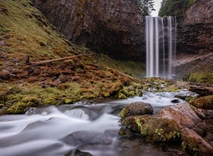
Tamanawas Falls
4.43.37 mi / 722 ft gainThis easy trail in the Mt Hood National Forest has a journey just as lovely as the destination. The hike follows closely along the banks of Cold Spring Creek, up through a massive boulder field, and finally arrives at the 150ft tall Tamanawas Hiking directions: Starting at the East Fork- Tamanaw...Read more -
Mount Hood, Oregon
Snowshoe to Tamanawas Falls
4.53.6 mi / 590 ft gainStarting at the Sherwood Trailhead, follow the sign towards Tamanwas Falls. You will walk through the woods towards the river, and cross it on the log bridge. After crossing the creek, you will begin to head uphill. Keep going this way through the woods for nearly 2 miles, and you will reach the ...Read more

