Chiloquin, Oregon
Top Spots in and near Chiloquin
-
Prospect, Oregon
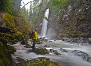
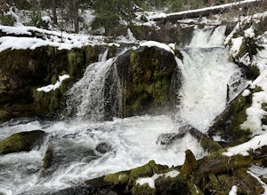
Mill Creek Falls & Barr Creek Falls
5.01.54 mi / 315 ft gainMill Creek Falls is a lesser-known gem in Southern Oregon. At 173 ft it is one of the tallest in the area, and Barr Creek Falls, plunging 240 ft, is less than a quarter mile further down the trail. The viewpoints can be accessed year-round though flows often fluctuate and spring/winter may best f...Read more -
Prospect, Oregon
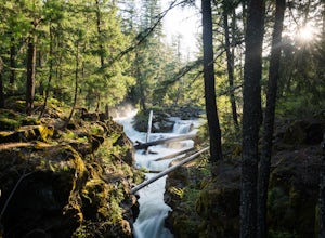
Explore the Rogue River Gorge
5.0This 500 ft. long gorge carved out of an old lava tube sits right along highway 62 near Crater Lake. The original road that brought travelers to the National Park passed right next to the gorge but it now remains hidden from view of the current highway. The area isn't large but has a nice parking...Read more -
Ashland, Oregon
Hike to Hobart Bluff
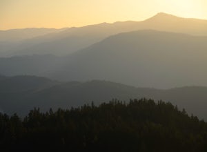
2.5 mi / 200 ft gainHobart Bluff is part of the Western Cascades, a range of weathered volcanic mountains that are much older than the High Cascades that most people think of today, the range of Shasta, Rainier, and Hood. These mountains are shorter as a result of the work of time and usually have summits wrapped in...Read more -
Douglas County, Oregon
Mt. Bailey and Hemlock Butte Cabin
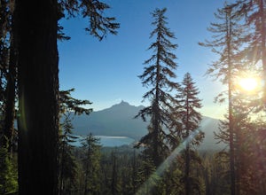
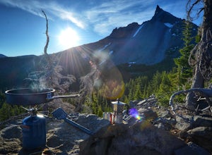
11.09 mi / 3192 ft gainThe trail starts at 5200 feet and climbs through the forest for 1.6 miles to an opening with a great view off diamond lake and the beautiful and very recognizable Mt. Thielsen. There are several small outcropping here that make a perfect spot to stop and get out the backpacking stove for some mou...Read more -
Douglas County, Oregon
Muir Creek Falls
5.01.08 mi / 135 ft gainMuir Creek Falls Trail is an out-and-back trail that takes you by a waterfall located near Crater Lake, Oregon.Read more -
Crescent, Oregon
Mt. Thielsen Summit
2.88.88 mi / 3291 ft gainIt may look quite intimidating from the base and surrounding areas but this hike/climb to the summit is quite straightforward and the standard route is non-technical. That being said, there are areas with some significant exposure with 2200 foot drops on its north and east faces that will definit...Read more -
Crescent, Oregon
Base of Mt. Thielsen via Mt. Thielsen Trail
4.77.26 mi / 1926 ft gainThe Trail begins at Mt. Thielsen Trailhead/Sno Park and takes you up through a vast forest of pines. As you ascend, Diamond Lake will slowly start to peak through. Continue straight at mile marker 1.6 and keep an eye out for Mt. Thielsen ahead. Just before entering Mount Thielsen Wilderness aroun...Read more -
Ashland, Oregon
Hike and Climb Pilot Rock
8 mi / 1000 ft gainPilot Rock is one of the most prominent features in the Cascade-Siskiyou National Monument and is visible from over 40 miles away in the Shasta Valley of northern California and the Rogue Valley of Southern Oregon.Similar to Devil’s Tower in Wyoming, though much smaller in stature, Pilot Rock is ...Read more

