Cascadia, Oregon
Looking for the best photography in Cascadia? We've got you covered with the top trails, trips, hiking, backpacking, camping and more around Cascadia. The detailed guides, photos, and reviews are all submitted by the Outbound community.
Top Photography Spots in and near Cascadia
-
Marion Forks, Oregon
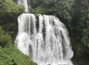
Marion Falls
4.14.12 mi / 968 ft gainThis hike explores an off-trail trip to one of my favorite waterfalls in Oregon. To kick off this hike, you'll start at the Marion Lake trailhead. The road to this trailhead is Marion Creek Road at mile point 66.5 off Highway 22. It's 4.3 miles until you reach the parking lot and start your journ...Read more -
Lane County, Oregon
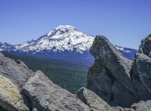
Substitute Point via Foley Ridge Trail
9.75 mi / 1900 ft gainThis is a viewless hike until you reach Substitute Point. You are then rewarded with an amazing view. From the trailhead (#3511) you will travel 4.3 miles on an unmaintained trail into the Three Sisters Wilderness to the junction of Substitute Point. The trail has lots of fallen trees you must c...Read more -
Lyons, Oregon
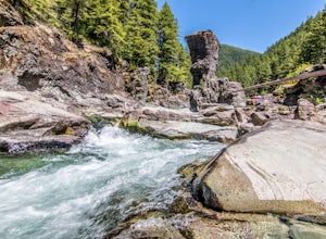
Swim at Three Pools
5.0To get there from Salem, Follow Hwy. 22 east to Mehama. Turn on Little North Santiam Road (FS 2209) and proceed for 12 miles to Three Pools Day Use Area. Three Pools is by far one of the most popular swimming holes in the Northwest. With multiple swimming holes within just feet from one another i...Read more -
Lane County, Oregon
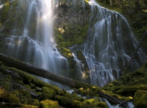
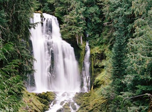
Proxy Falls
5.01.51 mi / 374 ft gainThis is one of the most amazing waterfalls in Oregon. The size is unbelievable – especially when you’re standing right underneath it, which I would recommend anyone to do (just be prepared for a misty shower) The hike is Easy! It’s only about 2 miles round trip. I remember going here when I was ...Read more -
Lane County, Oregon
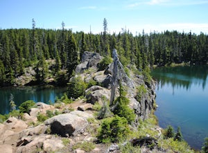
Tenas Lakes via Benson Lake Trail
3.54.93 mi / 755 ft gainStarting from Scott Lake in the Willamette National Forest, take the Benson Lake Trail head that starts at the end of the road. This climbs gradually up to Benson Lake, a large, deep, cold lake. From there follow the trail up until you see a junction and a sign to Tenas Lakes. Follow this trail u...Read more -
Lane County, Oregon
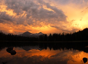
Camp at Scott Lake
Scott Lake Campground is truly a hidden gem off the McKenzie Pass Scenic Drive. Nestled right next to the Mt Washington Wilderness Area, this small campsite with only 20 primitive sites lining the lake gives spectacular views over toward the Three Sisters to the South-East.To get there - turn ont...Read more -
Lyons, Oregon
Henline Falls Trail
5.01.71 mi / 312 ft gainThe trail is a washed out, old mining road making its way through a lush forest with a mix of ferns, moss covered trees, and towering Douglas Firs with trees blown over from wind storms lining both sides of the trail. I call those Big Foot traps. The trail comes to a fork, stay to the left you ar...Read more -
Lane County, Oregon
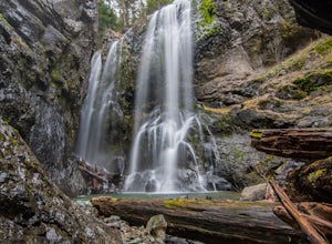
Linton Falls
4.54 mi / 900 ft gainNOTE: There is no development of viewing areas or trails, which makes for more of a wilderness experience than other waterfalls in the region. There may also be fallen trees blocking the trail, making this adventure more challenging. Hiking to Linton Falls accounts for the two larger waterfalls...Read more -
Lane County, United States
Backpack the Obsidian Area
4.46 mi / 1800 ft gainThe Obsidian area is at least six miles from the closest trail head and 1800 feet of elevation gain. The best way to see the area is to plan a multi-day backpacking adventure. It is limited entry which is strictly enforced by the Forest Service. Only 30 day hikers and 40 overnight hikers are al...Read more -
Drake Crossing, Oregon
Trail of Ten Falls Loop
4.77.16 mi / 1178 ft gainThe unique feature of South Falls, Lower South Falls, and Middle North Falls are the paths that pass behind the falls providing an amazing visual and auditory experience; however, be sure to have a good bag for your equipment to avoid water damage and a decent jacket (preferably water-resistant)....Read more -
Silverton, Oregon
Camp in Silver Falls State Park
4.68.7 mi / 1300 ft gainIf you're thinking of hiking the Trail of Ten Falls Loop and staying overnight, there are 42 tent campsites (available from April – Oct) as well as 14 rustic cabins. With multiple beds, heat, electricity, a covered porch, and a small fridge, they provide the perfect respite after a long day of ex...Read more -
Idanha, Oregon
Hike Grizzly Peak
4.510 miAfter leaving your car at the Pamelia Lake trailhead, hike 2.3 miles along the trail following Pamelia Creek. The Grizzly Peak trailhead will be on the right just before the lake, which you should check out before or after your hike up to Grizzly Peak—there are several campsites around the lake t...Read more -
Idanha, Oregon
Hike up the South Slopes of Mount Jefferson
15 mi / 7400 ft gainSet out from Pamelia Lake Trailhead through dense old growth forest. You'll see giant cedars, mixed firs and stunning mountain streams carving their way thru very green forest. After a couple miles, you'll reach Pamelia Lake. This is a great place to grab a snack, water, take photos and camp if y...Read more -
Detroit, Oregon
Battle Ax Mountain
5.05.09 mi / 1594 ft gainWith no officially marked trailhead, this hike begins slightly west of Elk Lake in Marion County. Take Highway 22 to Detroit, OR. East of the bridge over Breitenbush River, turn onto (FR) Forest Road 46, with signs pointing to Breitenbush River. After 4.5 miles turn left at a sign for Elk Lake, a...Read more -
Detroit, Oregon
Boca Cave & Triangulation Peak
4.04.75 mi / 1053 ft gainTriangulation Peak, Spire Rock and Boca Cave TH #3372 The trail starts on level ground where you travel east along the top of the ridge. There are multiple trees that have fallen across the trail making the hike quite adventurous. Some trees you'll go over and some you will need to go under. Dep...Read more -
Jefferson County, Oregon
Hike Canyon Creek Meadow and 3 Fingered Jack
5.0This hike is truly spectacular from the moment you step foot out of your car. Jack Lake lies at the beginning of the trail, and provides a beautiful sample of what's to come. Stop and take pictures if you feel so inclined, but don't stop here to camp, because it gets a LOT better!Follow the trail...Read more

