Camp Sherman, Oregon
Looking for the best hiking in Camp Sherman? We've got you covered with the top trails, trips, hiking, backpacking, camping and more around Camp Sherman. The detailed guides, photos, and reviews are all submitted by the Outbound community.
Top Hiking Spots in and near Camp Sherman
-
Lyons, Oregon
Cedar Flat and Kopetski Trail Loop
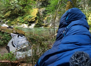
9.62 mi / 958 ft gainOn Saturday, I slid into the backseat alongside weekend belongings crammed in the car trunk. Backpacks with patches and streaks of dust. Bags of food that could be cooked over the flames of a fire. We drove south on the 5, leaving Portland and crossing through Salem, as Lake Street Dive albums p...Read more -
Bend, Oregon
Explore the Lava River Cave
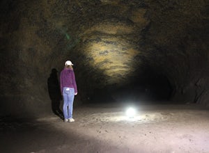
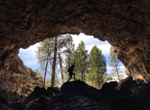
5.0Located just 12 miles South of Bend and 5 miles Northeast of Sunriver in the Deschutes National Forest, the Lava River Cave is a unique experience the whole family can enjoy. To get there from Bend, drive South on Highway 97 for about 10 miles until you see a large sign for the Lava Lands Visitor...Read more -
Cascadia, Oregon
Hike to Soda Creek Falls
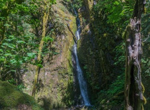
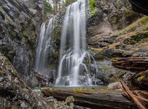
5.01.5 mi / 370 ft gainSoda Creek Falls flows 150 feet down a curvy basalt rock groove at Cascadia State Park. The trail follows Soda Creek through a lush Oregon rain forest. The site was a former hotel and health spa with the mineral water from the creek as the main attraction. The park has a small campground, and pic...Read more -
Bend, Oregon
Boyd Cave
5.00.69 mi / 66 ft gainLocated 20 miles southeast of Bend, Boyd Cave is a well preserved lava tube stretching close to a mile. To get there, take Highway 97 South through Bend and turn left on China Hat Road. Go straight for exactly 9 miles. Turn left at mile 9 onto the trail at FS242. You will know it has been 9 miles...Read more -
Clackamas County, Oregon
Bagby Hot Springs
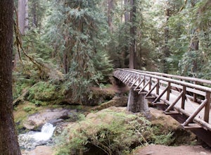
4.32.91 mi / 397 ft gainBagby Hot Springs is actually a set of amazing bathhouses nestled in the forest outside of Estacada. They are one of Oregon’s most poplar hot springs, and for good reason. The hike into the hot springs is easy and quite scenic. You’ll cross a bridge over Nohorn Creek and follow the Hot Springs Fo...Read more -
Lyons, Oregon
Henline Falls Trail
5.01.71 mi / 312 ft gainThe trail is a washed out, old mining road making its way through a lush forest with a mix of ferns, moss covered trees, and towering Douglas Firs with trees blown over from wind storms lining both sides of the trail. I call those Big Foot traps. The trail comes to a fork, stay to the left you ar...Read more -
Bend, Oregon
Explore Arnold Ice Caves
4.00.95 mi / 26 ft gain...Deep in the central Oregon Forest is a cave that is surrounded by Juniper Trees, Ponderosa Pines and the landscape of a secret volcanic underground world! This short hike is located roughly 12 miles East of Bend, and makes for an epic adventure for all to enjoy. A little history on the cave.....Read more -
Clackamas County, Oregon
Bike the Timothy Lake Trail
4.515 miLocated about 2 hours outside of Portland, Timothy lake is a great home base to adventure from. It has many campgrounds, lots of lake access and great loop around the lake that is open to both hiking and Mt biking. While the hiking loop is 13 miles, the Mt. bike loop is 15 since you need to make ...Read more -
Clackamas County, Oregon
Little Crater Lake to Timothy Lake Campground
3.42 mi / 338 ft gainLittle Crater Lake to Timothy Lake Campground is an out-and-back trail that takes you by a lake located near Government Camp, Oregon.Read more -
Bend, Oregon
Hike the Fall River Trail
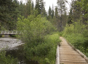
5.9 mi / 101 ft gainThe Fall River Trail follows meanders through an old growth ponderosa pine forest along the banks of the Fall River. There are several pull-out parking spots along Forest Service Road 42 but probably the easiest is to start at the Fall River Campground day-use area. The day-use area has pit toile...Read more

