Bend, Oregon
Looking for the best photography in Bend? We've got you covered with the top trails, trips, hiking, backpacking, camping and more around Bend. The detailed guides, photos, and reviews are all submitted by the Outbound community.
Top Photography Spots in and near Bend
-
Lane County, Oregon
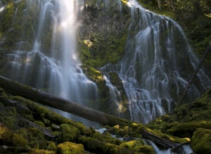
Proxy Falls
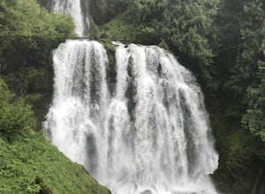
5.01.51 mi / 374 ft gainThis is one of the most amazing waterfalls in Oregon. The size is unbelievable – especially when you’re standing right underneath it, which I would recommend anyone to do (just be prepared for a misty shower) The hike is Easy! It’s only about 2 miles round trip. I remember going here when I was ...Read more -
Camp Sherman, Oregon
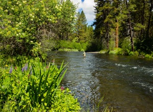
Fly Fishing the Metolius
5.0If there were a river in heaven it would be the Metolius. This gem located near Sisters Oregon offers year-round fly-fishing (only) to anyone who wishes to do so. The area offers multiple types of accommodations from tent camping to staying in resort-like cabins on the river. The best time to go...Read more -
Sisters, Oregon
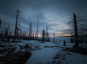
Winter Camp on Cache Mountain
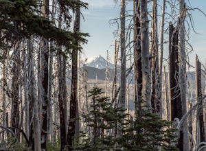
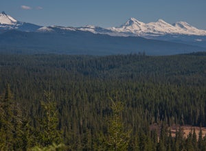
5.02 miCache Mountain offers amazing views of Mt Jefferson, 3 Fingered Jack, Mt Washington and the North and Middle Sisters. In the summer months, it is also known as one of the best single track mountain biking spots in Central Oregon. This is a great spot for a multi-day camping trip; set up camp and ...Read more -
Lane County, Oregon
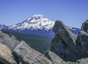
Substitute Point via Foley Ridge Trail
9.75 mi / 1900 ft gainThis is a viewless hike until you reach Substitute Point. You are then rewarded with an amazing view. From the trailhead (#3511) you will travel 4.3 miles on an unmaintained trail into the Three Sisters Wilderness to the junction of Substitute Point. The trail has lots of fallen trees you must c...Read more -
Camp Sherman, Oregon
Hike the West Metolius River Trail
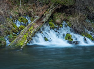
8 mi / 280 ft gainThe West Metolius River trail is one of the finest river trails in Central Oregon due to its easy terrain, beautiful blue water, volcanic spring fed waterfalls, and forest views. The hike starts just downstream from the Lower Canyon Creek Campground, where there is a bathroom and some picnic tab...Read more -
Sisters, Oregon
Camp at Big Lake
The crystal clear waters of Big Lake sit at an elevation of 4,600 ft. in the Willamette National Forest, on the western slopes of the Cascade Mountain Range. The Big Lake Campground (N 44 22.439 W 121 53.599) lies on the western shore of Big Lake, at the top of the Santiam Pass near Hoodoo Ski Re...Read more -
Sisters, Oregon
Backpack to Square and Booth Lakes
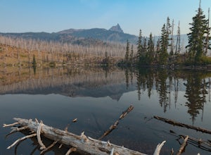
2.08 mi / 240 ft gainThis is an easy access, fairly short backpacking trip to a high mountain lake, which is good for kids. A super dusty, dry and smoke permeated trip to the base of Three Fingered Jack. Forest fires raging throughout the northwest poured smoke in to the entire western half of the state during this A...Read more -
Sisters, Oregon
Three Fingered Jack Loop
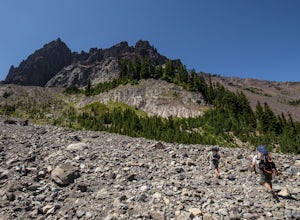
3.824.07 mi / 3537 ft gainBegin this 2-3 day backpacking trek at the Santiam Pass trailhead off Highway 20, 31 miles east of Detroit and 21 miles west of Sisters, Oregon. You can begin the loop either north on the PCT or East on trail #4014 towards Square Lake (as it is a loop) I would recommend heading east. It's a 2.2 ...Read more -
Jefferson County, Oregon
Hike Canyon Creek Meadow and 3 Fingered Jack
5.0This hike is truly spectacular from the moment you step foot out of your car. Jack Lake lies at the beginning of the trail, and provides a beautiful sample of what's to come. Stop and take pictures if you feel so inclined, but don't stop here to camp, because it gets a LOT better!Follow the trail...Read more -
Sisters, Oregon
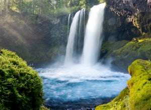
Sahalie and Koosah Falls Loop
4.82.42 mi / 545 ft gainThis loop might be on the shorter side, but the hike is more than worth it for the scenery. Start at Sahalie Falls, a 100-foot tall waterfall pouring into the river below and covering the moss-covered valley with cool mist. Continue down the trail, walking past the 70-foot Koosah Falls, and finis...Read more -
Linn County, Oregon
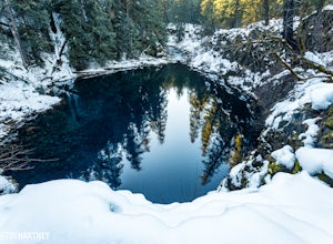
Tamolitch Blue Pool
5.03.56 mi / 253 ft gainThe hike out to Tamolitch Pool, or "Blue Pool," is 2 miles each way and follows the McKenzie River to a lava flow pool. Off Highway 126 14 miles east of McKenzie Bridge, turning into the Trailbridge Campground, drive right 1/3 of a mile to the trailhead. The trail is relatively flat, which gives ...Read more -
Sisters, Oregon
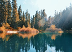
Hike around Clear Lake
4.74 miOnce you arrive at Clear Lake, I suggest to start the relatively flat hike around the lake. You'll walk through a beautiful forest with peek-a-boo views of the stunning lake. The hike around the full lake may take a few hours, so if you're not staying the night, make sure you have enough time to ...Read more -
Sisters, Oregon
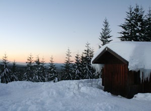
Snowshoe to the Mountain View Shelter
5.04 mi / 500 ft gainA short hike from the sno-park, the snow shelter is within an hour's reach of the trailhead. Make sure to print a trail map of the area's routes ahead of time, or take a picture of the map provided in the parking lot, as the network of trails can get you a little lost.From the parking lot, make s...Read more -
Sisters, Oregon
Backpack to Santiam Lake via Duffy Lake Trailhead
9.94 mi / 1362 ft gainYou start by weaving through an old-growth forest, gaining a little elevation, appreciating the shade, before you come up out and into the alpine forest the majority of the hike will take place in. You will quickly reach your first of many intersections within ~.1 mile into the trail. Be sure t...Read more -
Marion Forks, Oregon
Marion Falls
4.14.12 mi / 968 ft gainThis hike explores an off-trail trip to one of my favorite waterfalls in Oregon. To kick off this hike, you'll start at the Marion Lake trailhead. The road to this trailhead is Marion Creek Road at mile point 66.5 off Highway 22. It's 4.3 miles until you reach the parking lot and start your journ...Read more -
Foster, Oregon
Hike the Middle Pyramid
4.5The Three Pyramids, half as tall as the better-known Three Sisters, are beautiful U-shaped glacial valleys, remnants of the Ice Age.To reach the top of Middle Pyramid, leave from the #3380 trailhead at the west end of the parking area. Early on there is a creek crossing (the bridge was still wash...Read more

