Arnold Ice Cave, Oregon
Top Spots in and near Arnold Ice Cave
-
Terrebonne, Oregon
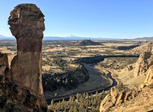
Misery Ridge Trail
5.02.58 mi / 919 ft gainMisery Ridge Trail is an out-and-back trail that takes you past scenic surroundings located near Terrebonne, Oregon.Read more -
Terrebonne, Oregon
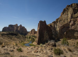
Canyon Trail and Homestead Trail
2.38 mi / 466 ft gainCanyon Trail and Homestead Trail is an out-and-back trail that takes you by a river located near Terrebonne, Oregon.Read more -
Terrebonne, Oregon
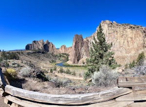
North Point Loop
5.00.43 mi / 13 ft gainNorth Point Loop is a loop trail that takes you by a river located near Terrebonne, Oregon.Read more -
Sisters, Oregon
Mountain Bike the Peterson Ridge Trail
1.016.1 mi / 1167 ft gainBend, Oregon has a deserved reputation as one of the top mountain bike destinations in the country. Unless you are from the area, you might not be familiar with nearby Sisters. Sisters is a sleepy western-themed town of 3,000 better known for it's annual rodeo and quilt festival but the locals ha...Read more -
Sisters, Oregon
The Sisters to Smith Rock Ride
5.036.6 mi / 597 ft gainStarting in the "Old West" town of Sisters, Oregon and ending at Smith Rock State Park outside the small town of Terrebonne, this route takes riders past a variety of historical sites, shows the gentle curves of the Deschutes River and frames spectacular views of the Cascade Mountains, and ends w...Read more -
Deschutes County, Oregon
Camp and Fish at Crane Prairie Reservoir
3.0Crane Prairie Reservoir is one of the top-producing rainbow trout fisheries in Central Oregon. The record rainbow to date weighed just over 19 pounds, so there is a good chance of catching some lunkers while visiting here.The lake is located on the Deschutes National Forest, approximately 30 mile...Read more -
Terrebonne, Oregon
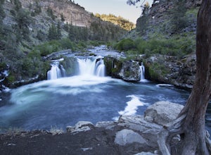
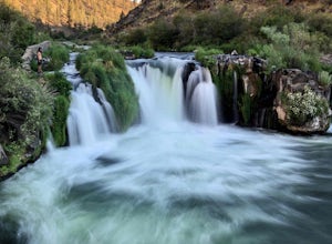
Hike to Steelhead Falls
4.81 mi / 120 ft gainFollowing along the Dechutes river for half a mile you will see where the river progressively gets more aggressive. On both sides of the trail you will see beautiful mountain inclines and jagged cliffs. If your lucky you might just see a bald eagle soaring high above! Along with Steel Head being ...Read more -
Terrebonne, Oregon
Steelhead Falls
1.98 mi / 148 ft gainSteelhead Falls is an out-and-back trail that takes you by a waterfall located near Terrebonne, Oregon.Read more -
Fort Rock, Oregon
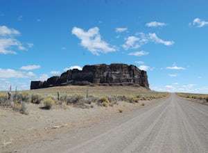
Explore Fort Rock State Park
4.5There's a great beginners hike inside the rock crater itself, and if you drive on the dirt road on the south side of the rock you can get to some great vista points and photography spots.This is great during the day or night (amazing starry views on clear nights), and you can get here any time of...Read more -
Deschutes County, Oregon
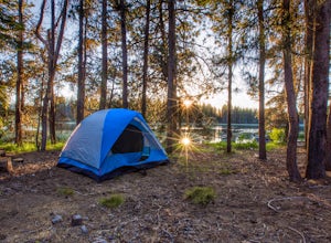
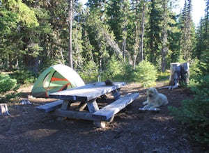
Camp at Lava Lake
4.5Beautiful spot to set your tent up for a night or longer.About 12 spots scatter the immediate campground area, but while hiking we spotted several more dispersed throughout the towering Ponderosa Pine trees. Most of the spots circle a small lake. The ground in this site is a VERY soft dirt, perfe...Read more -
Deschutes County, Oregon
Matthieu Lakes via Lava Camp Lake Trail
2.06 mi / 922 ft gainBegin your hike at the Lava Camp Lake Trailhead. The trail winds through a forest flush with hemlock and fir while opening up into black lava flows. Continue for a little over two miles until you reach North Matthieu Lake. This is your first stop. Go for a swim out to the little island and have a...Read more -
Deschutes County, Oregon
Summit Black Crater
5.08 mi / 2211 ft gainThe Black Crater Trailhead parking lot is accessed off the McKenzie Pass (Hwy 242). The trailhead starting elevation is 5,040ft. (using the iPhone app "Topo Maps". Great app) with a 3.8 Mile hike one way to the Black Crater Summit at 7,251ft of elevation. Some parts of the trail are steep and g...Read more -
Deschutes County, Oregon
Dee Wright Observatory
4.70.93 mi / 20 ft gainOn your way to Proxy Falls from Bend? Stop by the Dee Wright Observatory to take some photos of the gorgeous mountains. The Observatory is at the summit of McKenzie Pass in Oregon's Cascade Mountains. Built right in the middle of a large lava flow, the open structure itself is actually construct...Read more -
Lane County, United States
Backpack the Obsidian Area
4.46 mi / 1800 ft gainThe Obsidian area is at least six miles from the closest trail head and 1800 feet of elevation gain. The best way to see the area is to plan a multi-day backpacking adventure. It is limited entry which is strictly enforced by the Forest Service. Only 30 day hikers and 40 overnight hikers are al...Read more -
Lane County, Oregon
Summit Middle Sister via Renfrew Glacier
20 mi / 6000 ft gainIf you’ve been anywhere near Central Oregon, you’ve seen the Three Sisters Mountains dominate the skyline. Each of these volcanoes exceeds 10,000 ft. and are some of the highest peaks in the state of Oregon. Though they are truly considered sister peaks to one another, each has unique climbing ro...Read more -
Crescent, Oregon
Fly Fish on Davis Lake
About 50 miles southwest of Bend, Davis Lake is one of the major fishing destinations among the cluster of lakes in central Oregon. The lake was once known as a go-to spot for really big rainbow trout, but largemouth bass were illegally introduced to the Davis Lake in the 90s and they have now ta...Read more

