Heath, Ohio
Looking for the best photography in Heath? We've got you covered with the top trails, trips, hiking, backpacking, camping and more around Heath. The detailed guides, photos, and reviews are all submitted by the Outbound community.
Top Photography Spots in and near Heath
-
Perrysville, Ohio
Hike the Pleasant Hill Lyons Falls Loop
5.02.75 miTo get to this trail you can go to the Dam that is a part of Pleasant Hill Lake and there is a parking area across the street. After you start walking you reach signs that will ask where you want to go, either to the covered bridge or to the Lyons Falls.By going towards the covered bridge first y...Read more -
Galloway, Ohio
Hike the Darby Creek Greenway
9.6 mi / 50 ft gainStarting your hike from the Cedar Ridge Picnic Area, head north along the Darby Creek Greenway, a well-maintained gravel path that is a multi-use trail alongside cyclists and trail runners. The trail switches between a number of different settings during the 4.7 mile one-way trek, including fores...Read more -
Perrysville, Ohio
Photograph Clear Fork Gorge
The hardest part of this adventure is finding parking, especially on a late October afternoon. There's two different observation decks to take photos of the gorge from, and both have excellent views of the overall gorge. Having grown up just up the road from Mohican State Park, "The Gorge" has al...Read more -
Logan, Ohio
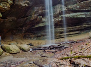
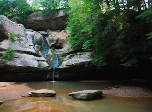
Cedar Falls
4.30.38 mi / 56 ft gainLocated on Queer Creek in Hocking Hills State Park, the popular 50 ft-Cedar Falls still tends to be less crowded than Old Man's Cave. There are scenic views to be had year-round off of the stream-lined path, starting from the lower parking lot off of SR 374. For quicker access to the falls, star...Read more -
West Jefferson, Ohio
Hike the Darby Creek Trail
4.02.6 mi / 30 ft gainParking at the Whispering Oaks Picnic Area on the west side of the park, start on the Darby Greenway Trail and follow it north across the river until you reach the beginning of the Lake View Trail. This 0.9 mile trail takes you along the largest of the Darby Bend Lakes, and even takes you past a ...Read more -
South Bloomingville, Ohio
Explore Ash Cave
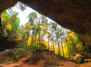
5.00.5 miGetting to Ash Cave is extremely easy with a short quarter-mile hike from the parking area; there's also a rim trail above the cave that adds 90 feet of elevation and some extra distance. The cave is great for relaxing in the shade during a hot day, enjoying a spring picnic, or grabbing some imag...Read more -
Perrysville, Ohio
Photograph Mt. Jeez
3.0While it might not seem like much, Mt. Jeez stands 1,310' feet above sea level, making it one of the higher "peaks" in Ohio. Because of that, it's one of the few spots in the Buckeye State that allow for grand, sweeping vistas with a 270 degree view for a few miles in most directions. Originally ...Read more -
McArthur, Ohio
Hike Lake Hope's Peninsula Trail
4.03 mi / 300 ft gainSituated in the long-forgotten coal and iron country of Ohio, Lake Hope is a beautiful combination of Ohio's rugged Appalachian foothills and tranquil shoreline.The trail starts at the trailhead parking lot right off of OH SR 278, next to the Hope Iron Furnace. The trail forms a three mile loop t...Read more

