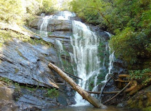
Waynesville, North Carolina
Waynesville, North Carolina is a great destination for outdoor adventurers! With its lush forested areas and steep mountain peaks, it’s a perfect place to explore and create lifelong memories. Visitors can savor the fresh mountain air and admire the beautiful views while they take in the best nature has to offer. From gentle walks to more physically challenging expeditions, Waynesville offers something for all types of outdoor activity. Whether you’re looking for a serene escape or exciting exploration, Waynesville is an ideal spot for an unforgettable experience.
Top Spots in and near Waynesville
-
150 Asbury Drive, South Carolina
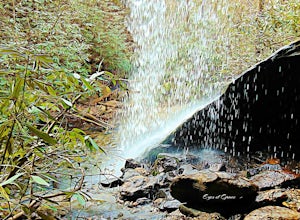
Hike the Asbury Trail to Moonshine Falls
5.5 mi / 800 ft gainThe trail to the Matthews Creek cable bridge crossing is easy. The cable crossing is fine - fun for some and a do-able challenge for others. After the creek, to get to Moonshine Falls, turn RIGHT at the post which indicates a trail both left and right. This is the Naturaland Trail in Caesars Hea...Read more -
Fairview, North Carolina
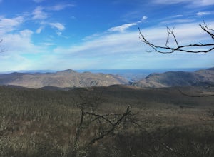
Hike the Trombatore Trail to Blue Ridge Pastures
5.05 mi / 1350 ft gainPark along the road at Bearwallow Gap - this is also the parking area for Bearwallow Mountain. Starting at a little over 3600ft, the Trombatore Trail has been well marked by the Carolina Mountain Land Conservancy with red blazes. Parts of the trail border private land, so pay attention to the sig...Read more -
Hendersonville, North Carolina
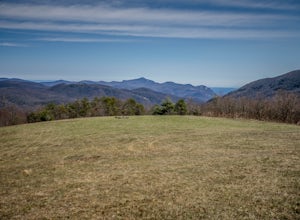
Hike to the Top of Bearwallow Mountain
5.02 mi / 583 ft gainOnce you have parked along the roadside near the trailhead, pass through the big gate on the right side of the road and take the trail off to the right. The trail winds up the mountain for a mile before it empties out onto the bald atop Bearwallow. Once on the bald, you can follow the gravel road...Read more -
Sevierville, Tennessee
Spelunking in Forbidden Caverns
5.0When exploring all that Tennessee has to offer, it’s hard to ignore the fact it is home to more caves than any other state in America. So when picking one, of more than 10,000, to explore it is hard to go wrong. Forbidden Caverns happens to be one of the most popular spots and is only a few minut...Read more -
Gatlinburg, Tennessee
Hike the Cucumber Gap and Little River Loop
4.05.5 mi / 800 ft gainThis loop offers a scenic 2.5 mile hike next to the river before looping back around via the Cucumber Gap Trail. At the tail end, you'll connect with the Jakes Creek Trail for about 0.7 miles to return you back to the parking lot. Many people hike this trial clockwise, but if it's a hot day, it...Read more -
Sevier County, Tennessee
Little River Trail to Backcountry Campsite #30
5.012.34 mi / 412 ft gainThe trailhead parking area is large but if no spaces are available additional parking can be had at the Jake's Creek trailhead at the top of the hill and to the right of the Little River trail parking lot. After parking, the trailhead itself will be to the left of the parking area. Parking Lot Co...Read more -
Pickens, South Carolina
Hike to Table Rock Mountain
4.57.2 mi / 2433 ft gainWhile the Piedmont Foothills may sound deceptive, this is no easy trail. The first two miles of the Table Rock Trail take you soaring through the trees at a rapid pace. The trail is extremely well kept, but harsh and tough. A little before the two mile marker is a wooden shelter which is a great ...Read more -
Pickens, South Carolina
Backpack the Foothills Trail through the Southeastern Appalachian Mountains
5.076.2 mi / 11036 ft gainStarting at Table Rock State Park (South Carolina) and working your 76.2 miles way towards Oconee State Park (South Carolina) is the most popular route, with a few spur trails that lead to places like Raven Cliff Falls in Cesar's Head State Park. The trail gains ~11,036 feet in elevation with ano...Read more -
Pickens, South Carolina
Summit Sassafras Mountain
5.017.2 mi / 5041 ft gainPinnacle Trail begins by the Nature Center in Table Rock State Park. Keep left at the first three splits in the trail. You will make some creek crossings, gain elevation through the forest, and pass by Mills Creek Falls (25 ft). At Bald Rock Overlook, you can catch some nice views of Table Rock M...Read more -
Sevierville, Tennessee
Laurel Falls Trail
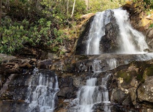
4.32.45 mi / 314 ft gainThis straightforward, yet scenic hike follows a paved trail to the falls, which is among the most popular in the park. This trail can be especially crowded during the summer, so be sure to arrive early. Keep an eye out for a few steep drop-offs on either side of the trail along the way. There ha...Read more -
Cleveland, South Carolina
Wildcat Wayside Nature Trail
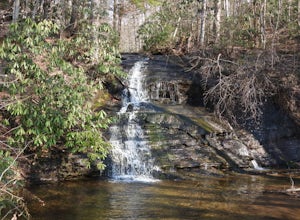
3.01.03 mi / 266 ft gainWildcat Wayside Nature Trail is a loop trail that takes you by a waterfall located near Cleveland, South Carolina.Read more -
Mountain Rest, South Carolina
Hike along the Chattooga River to Spoonauger Falls
1 mi / 100 ft gainSpoonauger falls housed in Sumter National Forest, received its name after the Spoonauger family which historically lived above the falls. From Walhalla SC, drive north on Highway 28 until it meets SC 107 (right under 10 miles). Take a slight right onto SC 107 and drive another 10 miles until yo...Read more -
Franklin, North Carolina
Wesser Bald Fire Tower
4.72.36 mi / 807 ft gainThe road leading to the trailhead is rough the last mile, but doable in any car. Just make sure to take it easy going up and be careful, especially if there has been any rain or snow. You will have reached the parking area for the hike once you see a large green Appalachian trail sign and a few...Read more -
Pickens, South Carolina
Paddle on Lake Oolenoy
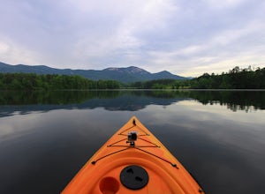
5.0Part of Table Rock State Park, Lake Oolenoy is a 67-acre lake providing private boat access for kayaks, canoes, or small boats with electric trolling motors.To get to the boat ramp, when traveling on scenic Highway 11, turn Sah Ka Na Ga View Road on the opposite side of the road as the Table Rock...Read more -
Mountain Rest, South Carolina
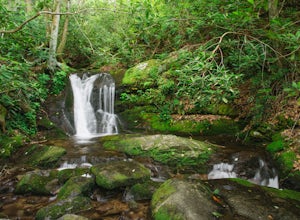
Hike to Kings Creek Falls
4.80.5 miThe trail to Kings Creek begins behind the bulletin board in the Burrells Ford primitive campground parking lot. It is an easy .5 mile trail to the falls. The falls are only 70ft high but they are beautiful, there is an area to the side of the falls with some nice sitting rocks and the area under...Read more -
Mountain Rest, South Carolina
Hike to King Creek Falls
0.6 miVery nice dog-friendly and family-friendly adventure! The hike is not long at all and the end result is a beautiful 70 ft waterfall with a pooled area at the bottom! Old logs are around for sitting on and relaxing while enjoying your lunch or snacks...Read more

