Union Mills, North Carolina
Looking for the best hiking in Union Mills? We've got you covered with the top trails, trips, hiking, backpacking, camping and more around Union Mills. The detailed guides, photos, and reviews are all submitted by the Outbound community.
Top Hiking Spots in and near Union Mills
-
Morganton, North Carolina
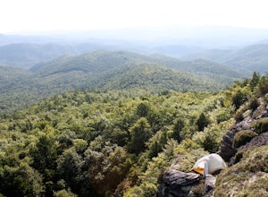
Camp at the Chimneys in the Linville Wilderness
5.01 mi / 138 ft gainThe Chimneys area is a lesser-known camping destination within the Linville Wilderness. The Chimneys are a series of rock formations that rise above Linville Gorge and provide unobstructed panoramic views of the gorge and surrounding mountains. These rocks sit adjacent to Table Rock which hosts w...Read more -
Morganton, North Carolina
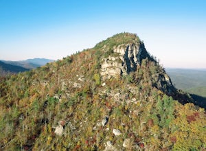
Hike to the Summit of Table Rock Mountain
4.62.2 mi / 572 ft gainOff of Highway 181, the trailhead is very clearly marked with a large parking lot. Although the trail is fairly short, make sure you have your footing, because the trail does switch back and forth in addition to gaining elevation -- it's pretty steep in some places! It's all worth it when you get...Read more -
Morganton, North Carolina
Little Table Rock Trail
5.02.73 mi / 1148 ft gainLittle Table Rock Trail is an out-and-back trail where you may see beautiful wildflowers located near Morganton, North Carolina.Read more -
Newland, North Carolina
Hike the Conley Cove Trail into Linville Gorge
5.02.6 mi / 1200 ft gainFollow the gravel old 105 to the parking lot at the Rock Jock Trailhead. Follow this trail a short distance until it splits to the left for Conley Cove. The Conley Cove trail descends over 1,200 ft. into the Linville Gorge, providing a glimpse into the dense and wild Pisgah National Forest. Shor...Read more -
Morganton, North Carolina
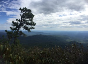
Hawksbill Mountain Trail
4.91.87 mi / 633 ft gainHidden far above the beautiful Linville Gorge stands Hawksbill Mountain, among many other fantastic hikes. The roughly 1.7 mile hike from the dusty gravel parking lot is steep but worth every step. It took me about an hour to conquer with a few water bottle-guzzling stops. At the top, you are al...Read more -
Morganton, North Carolina
Photograph Hawksbill Mountain at Sunrise or Sunset
5.01.5 mi / 860 ft gainThe trail to the summit of Hawksbill begins on an unpaved road for the Pigsah National Forest. In about a half a mile the trail turns left just before reaching the Jonas Ridge Trail. This turn is an clearly marked turn with a sign for "Hawksbill Summit". The trail then becomes steeper and rocki...Read more -
Linville, North Carolina
Take in the View at the Chestoa View Overlook
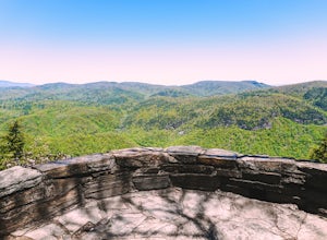
5.00.1 miChestoa View Overlook is an extremely short hike located down a pull-off at milepost 320 of the Blue Ridge Parkway. Park your vehicle in a designated spot then intercept the trail to the left of the lot. The trail will slowly descend down into a stone overlook. The panoramic view showcases the be...Read more -
Burnsville, North Carolina
Backpack the Black Mountain Crest Trail
12 mi / 5390 ft gainThe Black Mountain Crest Trail is legendary among hikers in the southeast. It is the highest trail east of the Mississippi, as it traverses the summit of several peaks over 6,000 feet. It is also widely acknowledged as one of the premier hikes on the east coast. To whit, the trail immediately asc...Read more -
Newland, North Carolina
Linville Falls Trail
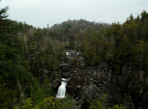
4.10.98 mi / 177 ft gainLinville falls is one of North Carolina's treasures and perhaps the most photographed water fall in the state. Bring the whole family out and explore the area surrounding the falls. There are about 4 total miles of trails meandering around and through the gorge and right up to the falls. There ar...Read more -
Arden, North Carolina
Photograph the French Broad Overlook
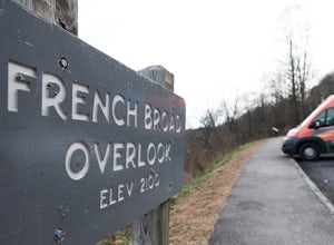
5.0The French Broad Overlook is one of several overlook spots along the Blue Ridge Parkway. It's not known to be the most breathtakingly scenic spot of the batch, but it's still a nice viewpoint that will offer you sights of the French Broad River, one of the few north flowing rivers in the US. Yo...Read more -
Asheville, North Carolina
Explore Lake Powhatan
Lake Powhatan is located just minutes away from Asheville, NC and offers a number of fun activities for you, your friends, and your family. In the warm summer months, the Lake is a popular spot for swimming. The small stretch of beach along the lake is a nice place to lay out and soak in the sun....Read more -
Collettsville, North Carolina
South Harper Creek Falls
5.03.46 mi / 564 ft gainSouth Harper Creek Falls is an out-and-back trail that takes you by a waterfall located near Collettsville, North Carolina.Read more -
Hickory, North Carolina
Geitner Rotary Park Loop
5.02.65 mi / 354 ft gainGeitner Rotary Park Loop is a loop trail that takes you by a lake located near Hickory, North Carolina.Read more -
Hendersonville, North Carolina
Hike to Hooker Falls
4.00.8 mi / 100 ft gainHooker Falls is located in Dupont State Forest in southern North Carolina. The hike is a great hike for kids to go on and to have a picnic. The waterfall is a beautiful waterfall that offers a great place to swim. Along the hike there are also other places you can see the river and you can swim a...Read more -
Little River, North Carolina
High Falls & Triple Falls
4.52.38 mi / 502 ft gainBoth falls provide ample open, flat rock right up next to the massive falls where you can picnic, take photos, or just lounge in the sun and mist. There are signs saying so, but be sure to be careful near the waters edge below the falls - swimming is not allowed as the current can be very strong....Read more -
Greenville County, South Carolina
Hike the Jones Gap Loop
5.05.5 mi / 2000 ft gainStart on the Jones Gap Trail (blue), which will lead you alongside the Saluda River. After 2.5 miles, take the Old Springs Branch Trail (orange) to loop back to the lot.For a challenging, more strenuous hike, with great views of the Gap, check out Rim of the Gap Trail. It is not advised to take c...Read more

