Sapphire, North Carolina
Top Spots in and near Sapphire
-
Tuckasegee, North Carolina
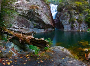
Paradise Falls
4.30.74 mi / 167 ft gainTo the north of Panthertown lies a chain of dammed lakes that are some of the most peaceful waters in Western North Carolina. These make up the headwaters of the East Fork of the Tuckasegee River. The gorges that run between the top lakes are wild, scenic, and adventurous to even the most experie...Read more -
Highlands, North Carolina
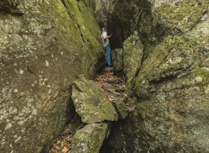
Bouldering Granite City
5.00.3 mi / 96 ft gainAt the foot of Blackrock Mountain just outside of Highlands, North Carolina, lies one of the most unique and secluded natural playgrounds around. Granite City is composed of several massive granite boulders, ranging between 10-40 feet tall. This spot is most popular for bouldering (mostly V0-V2...Read more -
Sunset, South Carolina
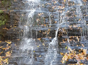
Virginia Hawkins Falls (Double Falls)
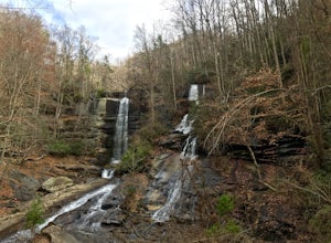
4.02.6 mi / 456 ft gainA moderate to advanced 2.6 mile hike has many stairs and a lot of ascents and descents along the way. The hike may not be the easiest but the payoff is worth it. The trail is easily marked so no need to worry about getting lost.Read more -
Tuckasegee, North Carolina
Hike to Cedar Cliff Rock
2.4 mi / 830 ft gainCedar Cliff Rock is one of those local places that exemplifies the Blue Ridge mountains oh-so-well. From the top you can see the Tuckaseegee River along with both Cedar Cliff and Bear Creek Reservoirs. While there are a few homes in between, much of the view is untouched, allowing a big mountain ...Read more -
Salem, South Carolina
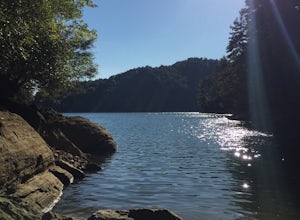
Camp on Lake Jocassee
4.7To avoid the regret of cutting your trip too short, go ahead and book a campsite. Come as a walk-in or reserve your site. Either way, you will have to check in at the Park Office. Upon check-in, you will receive your map and general information. Check-in time for camping is 2PM. The only publi...Read more -
Cullowhee, North Carolina
Hike to High Falls
3.51.5 mi / 600 ft gainThis is an awesome hike if you're up for a challenge! The hike in isn't bad at all and the trail itself isn't super long but the climb back out will be a little more difficult due to the rock steps and lengthy uphill. This hike starts from a parking lot, just across the road from Lake Glenville a...Read more -
Mountain Rest, South Carolina
Hike along the Chattooga River to Spoonauger Falls
1 mi / 100 ft gainSpoonauger falls housed in Sumter National Forest, received its name after the Spoonauger family which historically lived above the falls. From Walhalla SC, drive north on Highway 28 until it meets SC 107 (right under 10 miles). Take a slight right onto SC 107 and drive another 10 miles until yo...Read more -
Cullowhee, North Carolina
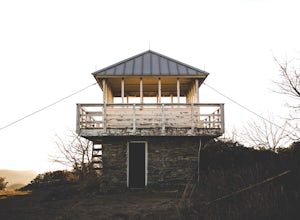
Hike to Yellow Mountain Fire Tower via Cloud Catcher Lane
5.01.5 mi / 700 ft gainYellow Mountain Fire Tower features some of the best views, looking out over both the Northern Georgia mountains as well as seeing the flat-lands of South Carolina past the mountain ranges. This hike is pretty well known for its 12-mile round trip trek, starting in Cashiers, NC, however, there's ...Read more -
Mountain Rest, South Carolina
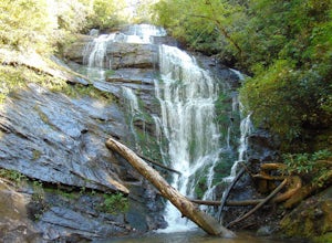
Hike to Kings Creek Falls
4.80.5 miThe trail to Kings Creek begins behind the bulletin board in the Burrells Ford primitive campground parking lot. It is an easy .5 mile trail to the falls. The falls are only 70ft high but they are beautiful, there is an area to the side of the falls with some nice sitting rocks and the area under...Read more -
Mountain Rest, South Carolina
Hike to King Creek Falls
0.6 miVery nice dog-friendly and family-friendly adventure! The hike is not long at all and the end result is a beautiful 70 ft waterfall with a pooled area at the bottom! Old logs are around for sitting on and relaxing while enjoying your lunch or snacks...Read more -
Mountain Rest, South Carolina
Hike to Big Bend Falls
5.06.5 miThe hike to Big Bend Falls begins on the Chattooga River Trail at the Burrell's Ford Campground. To get here you take Burrell's Ford Road off of SC 107. There will be a good sized gravel parking area off to the left about 3 miles down Burrell's Ford Road. When you park the car you can walk down t...Read more -
Tuckasegee, North Carolina
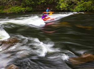
Paddling The Slab and Eternity Hole
5.0The Slab and Eternity hole, located on the East Fork of the Tuckasegee River, are two of Western, NC's best play spots for kayakers of all levels. Paddle down only yards from the public boat launch to The Slab where you can perfect your surfing in kayak, SUP, or whatever boat you float. A few hun...Read more -
Sunset, South Carolina
Hike to Twin Falls, SC
5.01 mi / 0 ft gainOnce you get to the destination there should be a small parking area. At the end of this parking area you will see the start of the Twin Falls trail that will be mostly a flat walk. Follow this trail approximately 0.5 miles to the falls. You will know you are in the right place if the creek is r...Read more -
Balsam Grove, North Carolina
Hike to Courthouse Falls
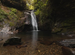
4.70.07 mi / 40 ft gainFirst off, I want to say although the road is gravel it is accessible for 2WD cars you do not need a 4WD car to access this hike. The trail begins just over the bridge that crosses Panther Branch Creek. Just over the bridge there is a pullout where you can park that should fit at least 3 cars. Th...Read more -
Tuckasegee, North Carolina
Hike to Dill Falls
0.4 mi / 400 ft gainThe drive to this waterfall can be a little muddy when there is a lot of rain and can need an AWD or 4WD in the rain. The road has some new gravel laid in parts so it could be improved in a few months. In the summer there is also a chance of seeing large dump trucks and logging trucks, but the ro...Read more -
Highlands, North Carolina
Photograph and Explore Bridal Veil Falls
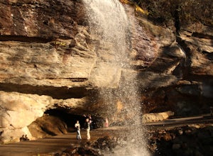
Bridal Veil Falls is located directly off of the road and is about a 100 feet tall in total. The falls makes for a great place to take pictures under the water falls. The falls itself is small and flows constant all year long getting to the bottom of the falls is not recommended because it is dan...Read more

