Otto, North Carolina
Looking for the best chillin in Otto? We've got you covered with the top trails, trips, hiking, backpacking, camping and more around Otto. The detailed guides, photos, and reviews are all submitted by the Outbound community.
Top Chillin Spots in and near Otto
-
Brevard, North Carolina
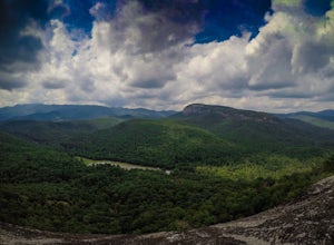
Hike to John Rock
5.05 mi / 1000 ft gainThis 5 mile loop begins at the Pisgah Center for Wildlife Education and State Fish Hatchery near Brevard, NC. Ample parking is available adjacent to the trailhead with bathrooms and water accessible. Grab a map from inside as well. To start the hike, look at the education center, to the left is t...Read more -
Pisgah Forest, North Carolina
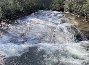
Cool Off at Sliding Rock Falls
4.6This natural mountain waterfall and slide in the Pisgah National Forest is a local favorite to cool off in and have a little fun during the warmer months. You can walk up the line to the top of the falls and have a quick wait as others go down this 60 foot boulder. This water varies between 50-6...Read more -
Gatlinburg, Tennessee
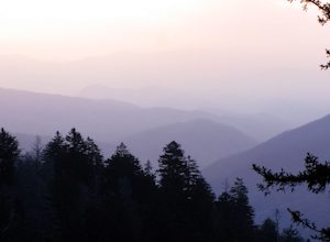
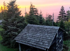
Catch a Sunrise at Newfound Gap
5.0Newfound Gap is a mountain pass in Great Smoky Mountains National Park. Newfound Gap is accessible via U.S. Route 441 from Gatlinburg, TN or Cherokee, NC. You can watch the sunrise from the parking lot at Newfound Gap or the viewing platform adjacent to the parking lot.At sunrise, layers of pink ...Read more -
Gatlinburg, Tennessee
Mount LeConte Lodge via the Boulevard Trail
15.95 mi / 3000 ft gainBegin your adventure by arriving at the Newfound Gap parking lot - before first light. Why? Because you won't want to miss the incredible sunrise from the parking lot - even before you step foot on the trail! It is said that a hiker will never get overly warm hiking the Boulevard to Leconte due ...Read more -
Robbinsville, North Carolina
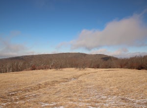
Hike Hooper Bald
1 mi / 250 ft gainHooper bald is one of the highest points in Graham County so the views from the top can be spectacular year round. The trail-head starts at mile marker 8 on the Cherohala Skyway. From the trail-head you start your accent on a semi-paved trail and walk about a half-mile before reaching the edge o...Read more -
Brevard, North Carolina
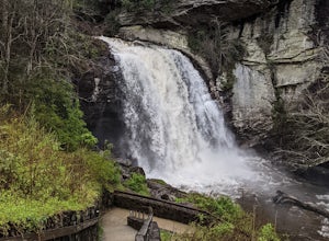
Looking Glass Falls
4.30.08 mi / 0 ft gainLooking Glass Rock located along the Blue Ridge Parkway (North) is one of the largest masses of granite in the Eastern US. It got it's name for the way the sunlight hits its rocky surface when wet, creating a shimmering, reflective, mirror-like effect. The views from this overlook are vast and cl...Read more -
Cleveland, Georgia
Hike to Desoto Falls, Georgia
3.72 miThe Chattahoochee National Forest is another kind of jungle. On hot summer days well over 95 degrees, the forest canopy provides a shelter for human and wildlife alike. Here adventurers can enjoy hiking the Desoto Falls trail(s), try their luck at fishing, or take in the solitude of the North Ge...Read more -
Pickens, South Carolina
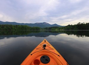
Paddle on Lake Oolenoy
5.0Part of Table Rock State Park, Lake Oolenoy is a 67-acre lake providing private boat access for kayaks, canoes, or small boats with electric trolling motors.To get to the boat ramp, when traveling on scenic Highway 11, turn Sah Ka Na Ga View Road on the opposite side of the road as the Table Rock...Read more -
35.629385,-83.450994
Camp out at Mt. LeConte Lodge via Alum Cave
5.09.96 miAt the summit of Mt. LeConte in the Great Smoky Mountains National Park, the lodge sits at a elevation of 6400 feet. It is the only "accommodations" inside the park boundaries. It is the highest lodge in the eastern United States. Accessible only by hiking one of the five trails to the summit,...Read more -
Brevard, North Carolina
Camp at Davidson River Campground in the Pisgah National Forest
4.5Pisgah National Forest, in my opinion, is one of the best national forests in the United States. Being just a short drive from Great Smokey Mountain National Park it has all the feel of being in the smokies with more to explore. Pisgah has anything you could want to see or do from tens of water...Read more -
Murphy, North Carolina
Hike to Panther Top Fire Tower
1.5 mi / 450 ft gainThe Panther Top fire tower is located in the Nantahala National Forest outside of Murphy, NC. To get there you get off of US 74 then turn onto panther top rd and continue till you see the signs for the tower. Once you get there the hike is about .75 there mostly up on the way to the top of the to...Read more -
Tellico Plains, North Carolina
Hike to Whiggs Meadow
3 mi / 700 ft gainYou will start your hike off of the Cherohala Skyway. The trail-head is a small asphalt pull-off on the right if you are coming from Tellico Plains. From the trail-head the trail starts up and almost all of the trial is an uphill incline on the way there with about 700 feet of elevation change ov...Read more -
Pisgah Forest, North Carolina
Drive the Forest Heritage National Scenic Byway
5.076 mi / 1000 ft gainYou can drive this highway getting different views during the different seasons. Along the drive, have your camera ready for beautiful vistas, Looking Glass Falls, and many adventures along the highway. The views are especially beautiful in the autumn with the leaves changing colors. This route d...Read more -
Robbinsville, North Carolina
Hike the Big Fat Gap Trail
12 mi / 3000 ft gainThere are many trailheads leading into the wilderness on either the Tennessee or North Carolina side. My favorite is the Big Fat Gap trail on the North Carolina side at an elevation of 3,060'. To see the best of what this area has to offer take the Hangover Lead South Trail to the 5,180' Hangover...Read more -
Pickens, South Carolina
Hike Glassy Mountain
5.01.3 mi / 200 ft gainThis view never gets old and it is super easy to access. It's also only like half a mile down and then half a mile back up, so if you do watch the sunset, the walk back is easy. The trail is out by Glassy Mountain Church in Pickens, SC and it's accessible year round. The hike is very simple, and ...Read more -
Cleveland, South Carolina
Hike to Jones Gap Falls
8.2 mi / 1200 ft gainFor Caesar's Head State Park access, head North from Pickens on HWY 178 until it intersects with HWY 11. Turn right onto HWY 11 North and continue for 10 miles until the 276 intersection where you veer off to the left. Follow 276 to the top of the mountain. 1 miles past the Caesars Head Visitors ...Read more

