Old Fort, North Carolina
Looking for the best hiking in Old Fort? We've got you covered with the top trails, trips, hiking, backpacking, camping and more around Old Fort. The detailed guides, photos, and reviews are all submitted by the Outbound community.
Top Hiking Spots in and near Old Fort
-
Morganton, North Carolina
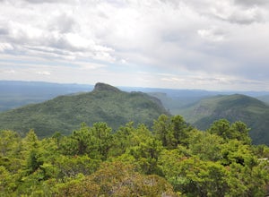
Hike to Hawksbill Mountain
5.02.1 mi / 660 ft gainStarting at the Hawksbill Mountain Trailhead, which is clearly marked start hiking up! The trail starts out with some easy uphill switchbacks and leads you to the first lookout point. Enjoy sometime at the lookout point, but you'll want to keep going for a more incredible view. Keep hiking uphill...Read more -
Arden, North Carolina
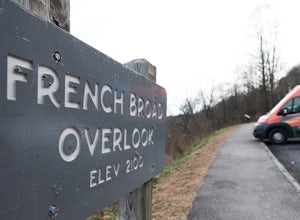
Photograph the French Broad Overlook
5.0The French Broad Overlook is one of several overlook spots along the Blue Ridge Parkway. It's not known to be the most breathtakingly scenic spot of the batch, but it's still a nice viewpoint that will offer you sights of the French Broad River, one of the few north flowing rivers in the US. Yo...Read more -
Morganton, North Carolina
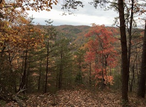
Hawksbill Mountain Trail
4.91.87 mi / 633 ft gainHidden far above the beautiful Linville Gorge stands Hawksbill Mountain, among many other fantastic hikes. The roughly 1.7 mile hike from the dusty gravel parking lot is steep but worth every step. It took me about an hour to conquer with a few water bottle-guzzling stops. At the top, you are al...Read more -
Morganton, North Carolina
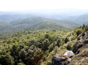
Photograph Hawksbill Mountain at Sunrise or Sunset
5.01.5 mi / 860 ft gainThe trail to the summit of Hawksbill begins on an unpaved road for the Pigsah National Forest. In about a half a mile the trail turns left just before reaching the Jonas Ridge Trail. This turn is an clearly marked turn with a sign for "Hawksbill Summit". The trail then becomes steeper and rocki...Read more -
Saluda, North Carolina
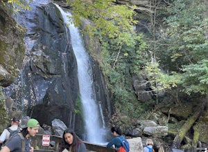
Hike Bradley Falls
4.82.3 mi / 312 ft gainThis is a really nice hike along Cove Creek that leads to a beautiful, 100 foot waterfall. While most of the trail is a relaxing stroll, the end of the hike provides a little adventure for those who feel up for it. Starting from the parking lot, follow the main trail into the woods. Early in the ...Read more -
Newland, North Carolina
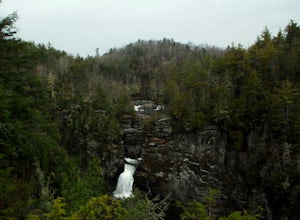
Linville Falls Trail
4.10.98 mi / 177 ft gainLinville falls is one of North Carolina's treasures and perhaps the most photographed water fall in the state. Bring the whole family out and explore the area surrounding the falls. There are about 4 total miles of trails meandering around and through the gorge and right up to the falls. There ar...Read more -
Asheville, North Carolina
Explore Lake Powhatan
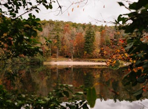
Lake Powhatan is located just minutes away from Asheville, NC and offers a number of fun activities for you, your friends, and your family. In the warm summer months, the Lake is a popular spot for swimming. The small stretch of beach along the lake is a nice place to lay out and soak in the sun....Read more -
Connelly Springs, North Carolina
Sawtooth Campground via Chestnut Knob Trail
5.06.18 mi / 1299 ft gainThis 6.2-mile total trip will take you through the highlights of South Mountains State Park with an overnight stay in one of the drier campsites. OPTIONAL: You can get a warm-up in by starting with a 2.5-mile loop to High Shoal Falls that you can do without packs before picking up with a 3-mile...Read more -
Connelly Springs, North Carolina
High Shoals Waterfall and H.Q. Loop Trail
4.83 mi / 1043 ft gainHigh Shoals Waterfall and H.Q. Loop Trail is a loop trail that takes you by a waterfall located near Connelly Springs, North Carolina.Read more -
Connelly Springs, North Carolina
High Shoals Falls
4.62.47 mi / 617 ft gainFrom the Jacob Fork parking area in South Mountains State Park, it is a short 1 mile walk over the Jacob River to the High Shoals Waterfall (80'). If you choose to continue past the observation deck, High Shoals Falls Trail (blue circle) climbs up above the waterfall, crossing the river. Keep rig...Read more -
Connelly Springs, North Carolina
Chestnut Knob via River Trail
4.05.9 mi / 1115 ft gainThe journey begins at the Cicero Branch Parking Area along South Mountain Road, following Jacob Fork River Trail. The trail runs along the Fork before ascending Chestnut Knob. After completing the trail, you will find yourself on the highest peak of the South Mountain chain, where there are breat...Read more -
Collettsville, North Carolina
South Harper Creek Falls
5.03.46 mi / 564 ft gainSouth Harper Creek Falls is an out-and-back trail that takes you by a waterfall located near Collettsville, North Carolina.Read more -
Bakersville, North Carolina
Hiking from Carver's Gap to Hwy. 19 on the AT
5.020.7 miThe AT from Carver's Gap to HWY 19 is about 14.5 miles, but with side adventures, it could be roughly 20 miles. The trail crosses the road and continues up about a 400 ft. elevation gain to the first of the balds. This section of the AT is beautiful at near 6000 ft. above sea level and you will g...Read more -
Bakersville, North Carolina
Cloudland Trail
5.02.46 mi / 276 ft gainCloudland Trail is an out-and-back trail offering up expansive views of the surrounding area especially from Roan Bluff. This trail is located near Bakersville, North Carolina. With minimal ups and downs, this makes for a decent family-friendly option. The trail is also dog friendly on-leash.Read more -
Bakersville, North Carolina
Appalachian Trail: Carvers Gap to Roan Mountain
5.06.98 mi / 1204 ft gainAppalachian Trail: Carvers Gap to Roan Mountain is an out-and-back trail near Bakersville, North Carolina. This trail is not too crowded, so don't be surprised if you're the only one taking in the view. Keep in mind the 1200+ foot climb along this trail if you're accustomed to hiking a longer dis...Read more -
Bakersville, North Carolina
Grassy Ridge Bald in the Roan Highlands
5.04.84 mi / 932 ft gainOnce you've parked at Carver's Gap (5500'), the trailhead is pretty easy to find. Simply cross the highway and jump onto the Appalachian Trail, right on the border of North Carolina and Tennessee. Head north on the AT as you head through the Roan Mountain Balds. In the very beginning of the hike,...Read more

