Mills River, North Carolina
Looking for the best hiking in Mills River? We've got you covered with the top trails, trips, hiking, backpacking, camping and more around Mills River. The detailed guides, photos, and reviews are all submitted by the Outbound community.
Top Hiking Spots in and near Mills River
-
Newport, Tennessee
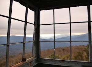
Explore Halls Top Fire Tower
4.01 mi / 200 ft gainHalls Top Fire Tower is a special untouched spot in the Cherokee National Forest. The road that leads you into the CNF is known as Halls Top Road just a few miles off of Interstate I-40. This road will take you 4.4 miles to the next turn onto Stone Mountain Road this road is 2.1 miles to the gat...Read more -
Bryson City, North Carolina
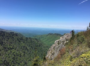
Charlies Bunion via Kephart Loop
14.14 mi / 3671 ft gainCharlies Bunion via Kephart Loop is a loop trail located near Cherokee, North Carolina. This is a longer version of the Charlies Bunion hike starting from the Newfound Gap parking lot. The added benefit of this longer loop is the opportunity to see more of the Great Smokey Mountains! You'll pass ...Read more -
Bryson City, North Carolina
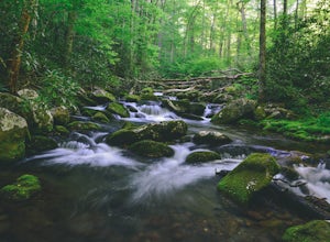
Kephart Prong Trail, Great Smoky Mountains NP
5.03.92 mi / 850 ft gainKephart Prong is a pretty easy hike in close proximity to the Visitor Center on the North Carolina Side of GSMNP. 2 miles up the trail, you'll arrive at Kephart Shelter, where you can rest and enjoy vies of the Kephart Prong. Once you've had your fill, head back down the way you came. During th...Read more -
Cosby, Tennessee
Maddron Bald - Albright Grove Loop
6.72 mi / 1500 ft gainHidden in the eastern reaches of Great Smoky Mountains National Park, the Cosby region receives a fraction of the visitation of Gatlinburg or Cherokee. This section of the park preserves some of the best deciduous old-growth forest in the eastern United States. Individual tulip trees and eastern ...Read more -
Greeneville, Tennessee
Hike to Margarette Falls
5.02.7 mi / 715 ft gainTo reach the trail head, take exit number 39 to Erwin/Jonesborough and turn onto State Route 81/107 west and stay on this for 6.5 miles. Then you will turn left to stay on Route 107 and continue on for 16 more miles. Then you will take a left on Route 351 and drive 4.5 miles. Then you will take a...Read more -
Morganton, North Carolina
Camp on Shortoff Mountain in the Linville Gorge
5.0The Linville Gorge Wilderness Area, also known as the Grand Canyon of the East, is one of the wildest, most rugged gorges in the eastern United States. It's also an outdoor paradise for hikers and backpackers. Camping here is always a treat and you are sure to enjoy your time spent in the gorge.D...Read more -
Marion, North Carolina
Hike the Rock Jock Trail
6 mi / 700 ft gainOne of the first things I noticed when researching this hike was the conflicting information regarding finding the trail head, length of the hike, and the hike's correct route. Hopefully, as of September 2017, this report will contain the most up-to-date information currently available. To find t...Read more -
Linville, North Carolina
Shortoff Mountain Summit
4.84.64 mi / 1178 ft gainStart your hike from the Shortoff Mountain Trail off of Wolf Pit Road at the base of Lake James. From the summit there is a small grassy area off a side trail that provided awesome cliff side views of the Gorge and Linville River! You can setup after making the hour and a half trek (maybe just in...Read more -
Bryson City, North Carolina
Deep Creek to Clingmans Dome Loop
32.82 mi / 7400 ft gainThis is a ~36 mile loop that goes up Clingman's Dome (the tallest point in Tennessee). Pretty challenging, not for the novice backpacker. Park at Deep Creek campground in Bryson City, NC. We did it as a 3-day, 2-night camping at sites 53 and 61. As it is a loop it could easily be done in reverse....Read more -
Bryson City, North Carolina
Tom Branch and Indian Creek Falls
4.51.76 miFrom the Deep Creek Trailhead, you can hike to both waterfalls heading up the Deep Creek Trail. You will come across Tom Branch Falls quickly, after 0.2 miles. Once you've had your fill of Tom Branch, head further along the Deep Creek Trail for another 0.5 miles. Turn right on the Indian Creek Tr...Read more -
Bryson City, North Carolina
Hike the Juney Whank Falls Loop
4.00.65 mi / 150 ft gainStarting at the Deep Creek Trailhead, take a short walk until the trail meets up with Juney Whank Falls Trail. From here, hang a left and head onto the Juney Whank Falls Trail. Once you've reached the falls, continue the loop to get back to the trailhead. The falls are said to be named after Mr...Read more -
Bryson City, North Carolina
Deep Creek Loop
5.05.01 mi / 892 ft gainAfter parking in the Deep Creek Campground parking lot follow the signs for the Deep Creek Trailhead. The Tom Branch waterfall is just .3 miles on the right side. Hike another .5 miles, at the next intersection stay right, and you will approach Indian Creek Falls. After viewing the falls you ca...Read more -
Bryson City, North Carolina
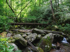
Hike Three Waterfalls Loop
5.02.4 mi / 450 ft gainStart the loop by hiking the Juney Whank Falls Trail to Juney Whank Falls. The footbridge across the creek makes an excellent place to rest and take in the falls. Follow the trail across the bridge and up the bank. After about 300 feet take a right and follow Deep Creek Horse Trail towards Deep C...Read more -
Bryson City, North Carolina
Hike to Lonesome Pine Overlook
5.07 mi / 2300 ft gainTo start the hike to Lonesome Pine Overlook begin from the Noland Divide Trailhead in Deep Creek. The trail is a steady climb with an average gain of 700 ft. every mile. Approaching the top you'll walk along a rocky ridge line where you are able to see the overlook. As you continue, be sure to lo...Read more -
Gatlinburg, Tennessee
Hike to the Ramsey Cascades
4.97.83 mi / 2190 ft gainThis multi-tiered waterfall is known as the tallest in the park – a worthwhile reward for the steep and sometimes tricky terrain you'll face on the way up. The popular route to the falls also passes through an impressive old-growth forest, which apparently boasts some of the tallest trees in the...Read more

