Marion, North Carolina
Looking for the best hiking in Marion? We've got you covered with the top trails, trips, hiking, backpacking, camping and more around Marion. The detailed guides, photos, and reviews are all submitted by the Outbound community.
Top Hiking Spots in and near Marion
-
Pisgah Forest, North Carolina
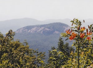
Drive the Forest Heritage National Scenic Byway
5.076 mi / 1000 ft gainYou can drive this highway getting different views during the different seasons. Along the drive, have your camera ready for beautiful vistas, Looking Glass Falls, and many adventures along the highway. The views are especially beautiful in the autumn with the leaves changing colors. This route d...Read more -
Brevard, North Carolina
Camp at Davidson River Campground in the Pisgah National Forest
4.5Pisgah National Forest, in my opinion, is one of the best national forests in the United States. Being just a short drive from Great Smokey Mountain National Park it has all the feel of being in the smokies with more to explore. Pisgah has anything you could want to see or do from tens of water...Read more -
Brevard, North Carolina
Art Loeb Trail
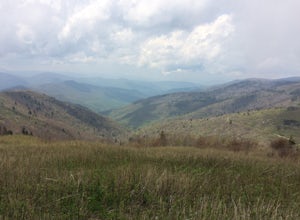
4.830.07 mi / 7467 ft gainStart at The Davidson River Campground just outside of Brevard, NC (276 Pisgah Ranger District). Have a shuttle car or a friend waiting at the Daniel Boone Boy Scout camp for the finish line. Hop on the 30.1 mile long Art Loeb Trail at the trailhead in the Davidson River Campground. Pull into th...Read more -
Cedar Mountain, North Carolina
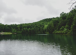
Hike to Fawn Lake
1 mi / 100 ft gainFawn Lake sits on the backside of DuPont State Forest, about a 15 minute drive from the High Falls Parking/ Visitor Center as well as Hooker Falls parking lots. With easy access and easy terrain, this is a must see to add to the list. While sometimes the main parking lots and trails of DuPont can...Read more -
Purlear, North Carolina
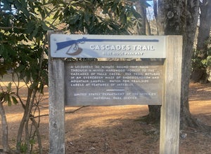
Cascades Trail
5.00.86 mi / 220 ft gainCascades Trail is an out-and-back trail that takes you by a waterfall located near Deep Gap, North Carolina.Read more -
Greenville County, South Carolina
Hike the Jones Gap Loop
5.05.5 mi / 2000 ft gainStart on the Jones Gap Trail (blue), which will lead you alongside the Saluda River. After 2.5 miles, take the Old Springs Branch Trail (orange) to loop back to the lot.For a challenging, more strenuous hike, with great views of the Gap, check out Rim of the Gap Trail. It is not advised to take c...Read more -
Greenville County, South Carolina
Hike the Pinnacle Pass/Rim of the Gap Loop
11.5 mi / 2345 ft gainThe Trailhead: Located at Jones Gap State Park in Marietta, SC of northern Greenville County. Follow the trail across an iron bridge that crosses the Middle Saluda River, and be sure to register at the Ranger’s Station/Gift Shop on the far side of the gap. The trail head(s) are located directly o...Read more -
Greenville County, South Carolina
Hike to Rainbow Falls and Pretty Place
5.05.96 mi / 1844 ft gainJones Gap State Park in the Upstate of South Carolina is one of the most beautiful parks in the state offering a good range of moderate and challenging hiking and backpacking trails through the Mountain Bridge Wilderness Area. Jones Gap also provides superb primitive camping sites along the rocky...Read more

