Leicester, North Carolina
Top Spots in and near Leicester
-
Highlands, North Carolina
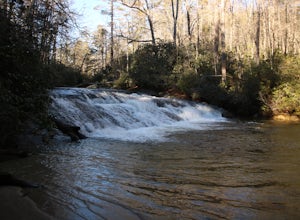
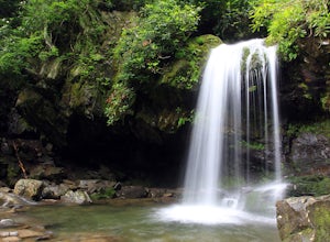
This waterfall is located just outside of Cashiers, NC. The trailhead to the waterfall is right off of the road and has a good amount of parking. The trial itself is very nice and has new steps at the beginning of the trail. The trail is very wide and is mostly flat the entire way there. Once you...
Read more
-
Bryson City, North Carolina
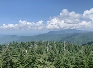
This is a ~36 mile loop that goes up Clingman's Dome (the tallest point in Tennessee). Pretty challenging, not for the novice backpacker. Park at Deep Creek campground in Bryson City, NC. We did it as a 3-day, 2-night camping at sites 53 and 61. As it is a loop it could easily be done in reverse....
Read more
-
Bryson City, North Carolina
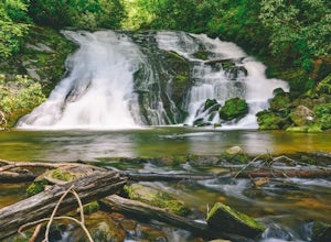
From the Deep Creek Trailhead, you can hike to both waterfalls heading up the Deep Creek Trail. You will come across Tom Branch Falls quickly, after 0.2 miles. Once you've had your fill of Tom Branch, head further along the Deep Creek Trail for another 0.5 miles. Turn right on the Indian Creek Tr...
Read more
-
Bryson City, North Carolina
4.0
0.65 mi
/ 150 ft gain
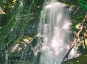
Starting at the Deep Creek Trailhead, take a short walk until the trail meets up with Juney Whank Falls Trail. From here, hang a left and head onto the Juney Whank Falls Trail. Once you've reached the falls, continue the loop to get back to the trailhead.
The falls are said to be named after Mr...
Read more
-
Bryson City, North Carolina
5.0
5.01 mi
/ 892 ft gain
After parking in the Deep Creek Campground parking lot follow the signs for the Deep Creek Trailhead. The Tom Branch waterfall is just .3 miles on the right side. Hike another .5 miles, at the next intersection stay right, and you will approach Indian Creek Falls. After viewing the falls you ca...
Read more
-
Bryson City, North Carolina
Start the loop by hiking the Juney Whank Falls Trail to Juney Whank Falls. The footbridge across the creek makes an excellent place to rest and take in the falls. Follow the trail across the bridge and up the bank. After about 300 feet take a right and follow Deep Creek Horse Trail towards Deep C...
Read more
-
Bryson City, North Carolina
To visit the falls, take US-74 west from Bryson City to exit 64 . Take a left at the exit and drive on Alarka Road for about 10 miles. Follow the road all the way to the end where you will find a turnaround. Don't make the mistake of following the forest service road (it is gated), as it is not ...
Read more
-
Gatlinburg, Tennessee
5.0
1.83 mi
/ 585 ft gain
This is an intermediate hike along Trillium Gap Trail. There are four stream crossings on your way to the falls as you hike through an idyll, often wildflower-sprinkled landscape. Late spring is best for catching blooms. Once at the waterfall, you can walk behind the cascade of water.
This is a ...
Read more
-
Bryson City, North Carolina
To start the hike to Lonesome Pine Overlook begin from the Noland Divide Trailhead in Deep Creek. The trail is a steady climb with an average gain of 700 ft. every mile. Approaching the top you'll walk along a rocky ridge line where you are able to see the overlook. As you continue, be sure to lo...
Read more
-
Gatlinburg, Tennessee
4.9
4.03 mi
/ 1487 ft gain
The Chimney Tops Trail is one of the most visited trails in the Smokies, which is why I recommend going up just before sunset to beat the crowd!
During the summer and fall months, it's common to see a hundred people taking in the views on the same trail, but if you scramble on out after hours, y...
Read more
-
Highlands, North Carolina
Whiteside Mountain is simply breathtaking, there is no way around it. Views of the mountain from the South expose its sheer granite face, which runs almost its entire length East-to-West. However, the views of the mountain are just the beginning, as this hike climbs to higher heights than just ...
Read more
-
Johnson City, Tennessee
The course gravel trail begins just east of downtown Johnson City. The trail maintains a flat grade throughout the 10 miles towards the city of Elizabethton. There are restrooms 3 miles in from the Johnson City trailhead. You can also park at Lions Field in Elizabethton and head west towards John...
Read more
-
Gatlinburg, Tennessee
4.5
13.37 mi
/ 3993 ft gain
Begin at the Rainbow Falls trail parking lot. This is very popular area especially in the summer. If the parking area at the trail head is full there is additional parking located just past the main lot. From here the Rainbow Falls trail is just under 14 miles to the summit of Mount Leconte. Elev...
Read more
-
35.675929,-83.485764
This 6 mile drive is a great way to spend a scenic day in the Smokies. The road is open to cars only (no trucks or RVs) and runs one-way. There are no visitors centers after you head out, so be sure to bring everything you need along.
The drive begins at the historic Ogle farmstead, which is als...
Read more

