Hendersonville, North Carolina
Looking for the best photography in Hendersonville? We've got you covered with the top trails, trips, hiking, backpacking, camping and more around Hendersonville. The detailed guides, photos, and reviews are all submitted by the Outbound community.
Top Photography Spots in and near Hendersonville
-
Canton, North Carolina
Tennent Mountain
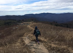
5.03 mi / 285 ft gainPark at the Lot at the end of Black Balsam road, and start your morning in the dark, down the old dirt road at the end of the lot. Take this road until you get to Ivestor Gap and make a right onto the Art Loeb, try and time it so the sun is just about to rise here. Hike or trail run The Art Loeb ...Read more -
Canton, North Carolina
Sam Knob and Flat Laurel Creek Loop
4.93.84 mi / 807 ft gainThis is one of my favorite quick "getaway" loops in the Pisgah Ranger District. Turn onto Black Balsam Knob Road (Mile Marker 420 on the Blue Ridge Parkway) go until you reach a dead end and park at the parking lot. You'll see the Sam Knob trail to the right of the public bathrooms. From there, i...Read more -
Pickens, South Carolina
Backpack the Foothills Trail through the Southeastern Appalachian Mountains
5.076.2 mi / 11036 ft gainStarting at Table Rock State Park (South Carolina) and working your 76.2 miles way towards Oconee State Park (South Carolina) is the most popular route, with a few spur trails that lead to places like Raven Cliff Falls in Cesar's Head State Park. The trail gains ~11,036 feet in elevation with ano...Read more -
Old Fort, North Carolina
Catawba Falls
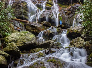
4.82.19 mi / 394 ft gainPlease note, Catawba Falls is temporarily closed. You can learn more about updates at www.fs.usda.gov. This quick and relatively easy hike is located close to Asheville, NC. If you're looking to have the trail to yourself, it can be a little tough. It's best to get there as early as possible or ...Read more -
Montreat, North Carolina
Hike Lookout Mountain, Montreat
5.01.1 mi / 623 ft gainNestled in the Blue Ridge Mountains is Montreat, North Carolina. Just down the road from Asheville, it neighbors Black Mountain and doesn't disappoint for views. Montreat itself houses a plethora of hiking trails, but the cream of the crop HAS to be Lookout Mountain. After a weekend of checking o...Read more -
Balsam Grove, North Carolina
Hike to Courthouse Falls
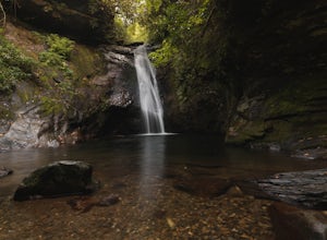
4.70.07 mi / 40 ft gainFirst off, I want to say although the road is gravel it is accessible for 2WD cars you do not need a 4WD car to access this hike. The trail begins just over the bridge that crosses Panther Branch Creek. Just over the bridge there is a pullout where you can park that should fit at least 3 cars. Th...Read more -
Pickens, South Carolina
Paddle on Lake Oolenoy
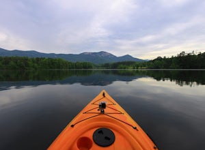
5.0Part of Table Rock State Park, Lake Oolenoy is a 67-acre lake providing private boat access for kayaks, canoes, or small boats with electric trolling motors.To get to the boat ramp, when traveling on scenic Highway 11, turn Sah Ka Na Ga View Road on the opposite side of the road as the Table Rock...Read more -
Balsam Grove, North Carolina
Devil's Courthouse
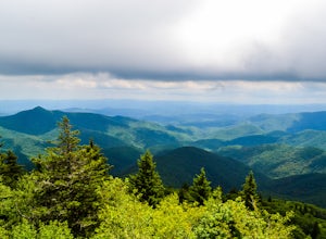
4.70.85 mi / 246 ft gainThe Devil's Courthouse Overlook and Trail can be one of the best places to see the entire Blue Ridge countryside. Even though it is a short hike, there is a fairly steep incline halfway through, so be prepared to huff and puff a little. It takes anywhere from 15 to 20 minutes depending upon your ...Read more -
Canton, North Carolina
Photograph Sunburst Falls
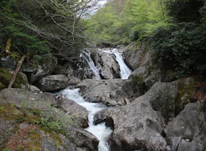
This waterfall is right off the side of the road on NC 215. NC 215 is straight off of the blue ridge parkway and is just north of Brevard. The waterfall has to main parts one that is above the road and one that is below. The part below the road is the most scenic and the easiest to walk too. The ...Read more -
Tuckasegee, North Carolina
Hike to Dill Falls
0.4 mi / 400 ft gainThe drive to this waterfall can be a little muddy when there is a lot of rain and can need an AWD or 4WD in the rain. The road has some new gravel laid in parts so it could be improved in a few months. In the summer there is also a chance of seeing large dump trucks and logging trucks, but the ro...Read more -
Sunset, South Carolina
Virginia Hawkins Falls (Double Falls)
4.02.6 mi / 456 ft gainA moderate to advanced 2.6 mile hike has many stairs and a lot of ascents and descents along the way. The hike may not be the easiest but the payoff is worth it. The trail is easily marked so no need to worry about getting lost.Read more -
Barnardsville, North Carolina
Douglas Falls
5.01.11 mi / 125 ft gainThe trail begins at the back of the parking area and is marked by a trail sign. Once on the trail, it is a straight shot to the waterfall with no turnoffs. Overall the trail is very easy and is a slight descent all the way down. Around .3 miles into the trail you enter a forest of now-dead hemloc...Read more -
Sunset, South Carolina
Hike to Twin Falls, SC
5.01 mi / 0 ft gainOnce you get to the destination there should be a small parking area. At the end of this parking area you will see the start of the Twin Falls trail that will be mostly a flat walk. Follow this trail approximately 0.5 miles to the falls. You will know you are in the right place if the creek is r...Read more -
Old Fort, North Carolina
Green Knob Lookout Tower
4.80.76 mi / 292 ft gainGreen Knob Lookout Tower is an abandoned fire tower near Mt. Mitchell and located directly off the Blue Ridge Parkway. The tower boasts a full 360-degree, unobstructed view of Mt. Mitchell, Craggy Mountains, Table Rock, Grandfather Mountain, and the Parkway. Unlike most fire towers, this tower is...Read more -
Pickens, South Carolina
Hike Glassy Mountain
5.01.3 mi / 200 ft gainThis view never gets old and it is super easy to access. It's also only like half a mile down and then half a mile back up, so if you do watch the sunset, the walk back is easy. The trail is out by Glassy Mountain Church in Pickens, SC and it's accessible year round. The hike is very simple, and ...Read more -
Tuckasegee, North Carolina
Paradise Falls
4.30.74 mi / 167 ft gainTo the north of Panthertown lies a chain of dammed lakes that are some of the most peaceful waters in Western North Carolina. These make up the headwaters of the East Fork of the Tuckasegee River. The gorges that run between the top lakes are wild, scenic, and adventurous to even the most experie...Read more

