Glenville, North Carolina
Looking for the best photography in Glenville? We've got you covered with the top trails, trips, hiking, backpacking, camping and more around Glenville. The detailed guides, photos, and reviews are all submitted by the Outbound community.
Top Photography Spots in and near Glenville
-
Sautee Nacoochee, Georgia
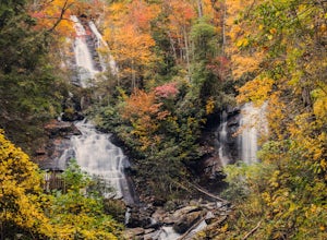
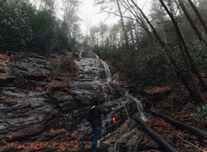
Anna Ruby Falls
4.01 mi / 374 ft gainThe hike to Anna Ruby Falls located in the Chattahoochee National Forest, bordering and often mistaken for being located in Unicoi State Park, begins at the Anna Ruby Falls Visitor Center. There is a $3 per person fee (16 years and under are free) to access the parking lot of the visitor center a...Read more -
Blairsville, Georgia
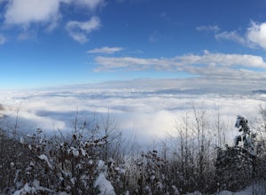
Hike to the Brasstown Bald Peak
4.31.42 mi / 430 ft gainOnce you make it to the parking area (parking fee required) to Brasstown Bald you will be at about 4284 feet elevation. From there you will have a short (0.6 mile) but steep hike to the tower that sits atop Brasstown Bald. Along the path you will see Rhododendron and various other blooms dependi...Read more -
Robbinsville, North Carolina
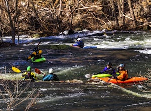
Paddle The Cheoah River
5.0The Cheoah River is a dam controlled section of whitewater that has become one of the "bucket runs" for Western, North Carolina. Located near Robbinsville, NC, the Cheoah is a non-stop class IV+ classic of constant gradient that delivers a Southeastern whitewater experience like no other. There ...Read more -
Townsend, Tennessee
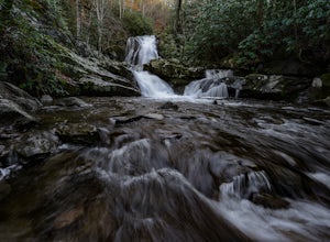
Spruce Flats Falls
4.81.64 mi / 495 ft gainTo get to Spruce Flats Falls, you will want to drive down 2.2 miles down the scenic Tremont Road to the Great Smoky Mountains Institute and park in the visitor center parking area. You will then want to ascend up the gravel road past the sign that says restricted to unrestricted traffic (meaning ...Read more -
Newport, Tennessee
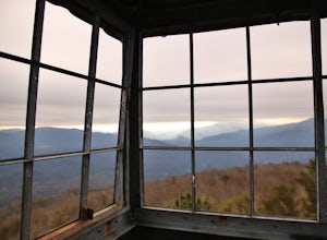
Explore Halls Top Fire Tower
4.01 mi / 200 ft gainHalls Top Fire Tower is a special untouched spot in the Cherokee National Forest. The road that leads you into the CNF is known as Halls Top Road just a few miles off of Interstate I-40. This road will take you 4.4 miles to the next turn onto Stone Mountain Road this road is 2.1 miles to the gat...Read more -
Blairsville, Georgia
Hike to Horsetrough Falls
5.00.4 mi / 10 ft gainTo get to the trail head you will follow Wilks road five miles to Upper Chattahoochee River Campground. The five miles down the gravel road should be doable for a majority of cars as the gravel road is in good condition. Pretty much if you feel comfortable driving your car on a regular gravel roa...Read more -
Helen, Georgia
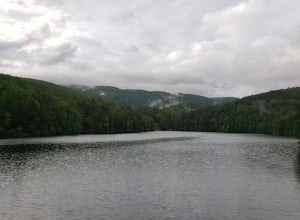
Hike the Unicoi Lake Trail
1.9 miUnicoi State Park is a pleasant, refreshing park just outside of Helen, GA. There is a hiking trail, kayaking/canoeing launch, paddle boat rentals, camping area, and even a 3 segment zipline course (all three were fantastic)! Fishing is allowed, and when we went last there were a few kayakers fis...Read more -
Townsend, Tennessee
Backpack to Spence Field
13.8 mi / 3100 ft gainStart your hike at Anthony Creek Trailhead (elevation 1,800 ft), in the Cade’s Cove area. The trailhead is located at the far end of the day-use picnic area near Cade’s Cove campground. There are a few parking spots right at the trailhead, but note that the picnic area closes at dusk (a gate clos...Read more -
Robbinsville, North Carolina
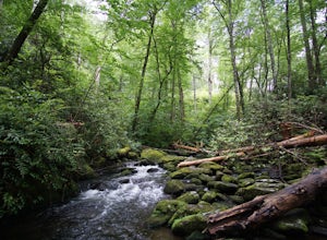
Hike Joyce Kilmer Memorial Forest Loop
5.02 miThe beauty of this trail starts at the parking lot. Before you start the trail, you will find a picnic table near the parking lot and go down to the edge of the rolling stream. Its a great spot to hear the stream and take some pictures. If you are feeling adventurous you can try to hop from rock ...Read more -
Hendersonville, North Carolina
Hike along The World's Edge
0.7 mi / 40 ft gainPark at the end of The World's Edge Road, but be aware that parking is very limited. There is a private residence up to the right so do not block their driveway/gate. Begin your hike by going through the leftmost gate, and continue straight until you reach the first view less than half a mile in....Read more -
Arkaquah Trail, Georgia
Hike the Arkaquah Trail to Brasstown Bald
11 mi / 3756 ft gainThe Arkaquah Trail is unique as far as North Georgia trails go for any reasons. Its elevation gain and distance puts it near the top for most challenging day hikes in the Blue Ridge Mountains. If the 11 miles round-trip sounds a bit daunting, this hike can also be done as a 5.5 mile point-to-po...Read more

