Cherokee, North Carolina
Looking for the best hiking in Cherokee? We've got you covered with the top trails, trips, hiking, backpacking, camping and more around Cherokee. The detailed guides, photos, and reviews are all submitted by the Outbound community.
Top Hiking Spots in and near Cherokee
-
Cleveland, South Carolina
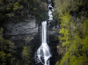
Raven Cliff Falls
4.57.76 mi / 2185 ft gainLocation: From the intersection of US276 & SC11, head Northwest on US276. Drive to the top of the mountain, 1 mile past the visitor's center, and The Raven Cliff Falls Parking Area and trail head will be on your right. After parking in the Raven Cliff Falls Parking Area, the trailhead is l...Read more -
Cedar Mountain, North Carolina
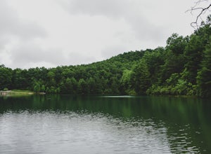
Hike to Fawn Lake
1 mi / 100 ft gainFawn Lake sits on the backside of DuPont State Forest, about a 15 minute drive from the High Falls Parking/ Visitor Center as well as Hooker Falls parking lots. With easy access and easy terrain, this is a must see to add to the list. While sometimes the main parking lots and trails of DuPont can...Read more -
Pickens, South Carolina
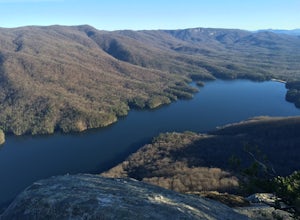
Hike to Table Rock Mountain
4.57.2 mi / 2433 ft gainWhile the Piedmont Foothills may sound deceptive, this is no easy trail. The first two miles of the Table Rock Trail take you soaring through the trees at a rapid pace. The trail is extremely well kept, but harsh and tough. A little before the two mile marker is a wooden shelter which is a great ...Read more -
Pickens, South Carolina
Backpack the Foothills Trail through the Southeastern Appalachian Mountains
5.076.2 mi / 11036 ft gainStarting at Table Rock State Park (South Carolina) and working your 76.2 miles way towards Oconee State Park (South Carolina) is the most popular route, with a few spur trails that lead to places like Raven Cliff Falls in Cesar's Head State Park. The trail gains ~11,036 feet in elevation with ano...Read more -
Pickens, South Carolina
Summit Sassafras Mountain
5.017.2 mi / 5041 ft gainPinnacle Trail begins by the Nature Center in Table Rock State Park. Keep left at the first three splits in the trail. You will make some creek crossings, gain elevation through the forest, and pass by Mills Creek Falls (25 ft). At Bald Rock Overlook, you can catch some nice views of Table Rock M...Read more -
Knoxville, Tennessee
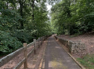
Will Skelton Greenway
7 mi / 300 ft gainThis greenway starts at the Island Home Park and goes through Ijams Nature Center and the Forks of the River Wildlife Management Area. The trail is almost 4 miles one way so it makes for a great half day trip. From start to finish it is 8 miles long. The trail is mostly paved with only a small bi...Read more -
Cleveland, South Carolina
Caesars Head Overlook
5.00.27 mi / 144 ft gainThe Drive: Head North on SC Highway 11 "Cherokee Foothills Scenic Highway" towards Table Rock State Park. Follow SC 11 past Table Rock approximately 8 miles where it will merge with SC 8 at Pumpkin Town. Follow SC 8 for another 3-4 miles until you see the intersection for SC Highway 276 on the le...Read more -
Young Harris, Georgia
Hike the Miller Trek
5.06.3 mi / 1325 ft gainThis is an awesome trek with views of both Young Harris and Hiawassee, GA! The trail starts from the parking area where there is the Miller Trek A-Frame (see photo for reference)! There are several different trails within the trail system on the mountain, but if you take 5 minutes to read the map...Read more -
Tellico Plains, Tennessee
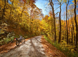
Explore North River Road
4.7If you're looking to get off the beaten path and take the road less traveled, North River Road is your ticket to solitude.A popular loop for the locals is starting on Tellico River Road, then getting on North River Road to make your way up the mountain all the way to the Cherohala Skyway. Take th...Read more -
Tellico Plains, Tennessee
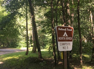
Camp at North River Campground and Dispersed Campsites
North River Road is located in the Nantahala National Forest near Tellico Plains. To get to North River Campground you can either drive up the Cherohala Skyway about 6 miles then turn when you see the sign for the campground and bald river falls. Another way to get to the campsites along North Ri...Read more -
Knoxville, Tennessee
High Ground Park
1 mi / 50 ft gainThis park is located in south Knoxville right off of Cherokee trail road. The parking lot is very large and can accommodate 15-20 cars. The park is home to the historic Fort Higley which was a Civil War fort built by the Union to protect Knoxville. This is a great place to walk or run through t...Read more -
Knoxville, Tennessee
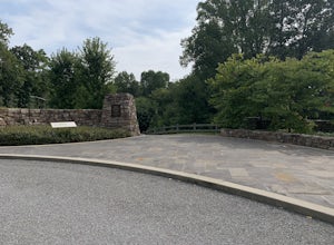
High Ground Park (Fort Higley)
0.66 mi / 89 ft gainHigh Ground Park (Fort Higley) is an out-and-back trail that takes you through a nice forest and park located near Knoxville, Tennessee.Read more -
Knoxville, Tennessee
Fort Dickerson Quarry Park
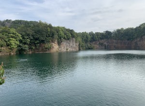
This is an amazing gem in south Knoxville only 7 minutes away from Gay Street. This is one of the newest parks in Knoxville but it has been a part of Knoxville for centuries. The quarry is a gorgeous place for swimming and kayaking. This park offers numerous outdoor activities all in a great plac...Read more -
Walhalla, South Carolina
Hike to Issaqueena Falls and Stumphouse Tunnel
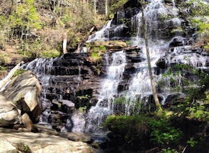
4.01.5 mi / 250 ft gainFrom Walhalla South Carolina, follow SC 28 westward 7 miles until you see Stumphouse Tunnel Park on the right-hand side of the road. Take this road halfway down, and park in the parking area on the right. From here, you can travel a short walk to the falls overlook, or, for the more adventurous ...Read more -
150 Asbury Drive, South Carolina
Hike the Asbury Trail to Moonshine Falls
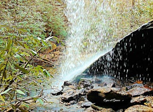
5.5 mi / 800 ft gainThe trail to the Matthews Creek cable bridge crossing is easy. The cable crossing is fine - fun for some and a do-able challenge for others. After the creek, to get to Moonshine Falls, turn RIGHT at the post which indicates a trail both left and right. This is the Naturaland Trail in Caesars Hea...Read more -
Walhalla, South Carolina
Hike to Yellow Branch Falls
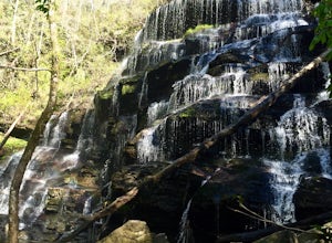
5.03 miOnce you have turned into the picnic area off of Highway SC 28, you will see the open and easy parking area. The trail begins at 2 points on the southern end of the parking area. These 2 points form a small loop about 0.2 miles long, with a spur in the middle of the loop onto the main yellow bran...Read more

