Canton, North Carolina
Looking for the best photography in Canton? We've got you covered with the top trails, trips, hiking, backpacking, camping and more around Canton. The detailed guides, photos, and reviews are all submitted by the Outbound community.
Top Photography Spots in and near Canton
-
Cullowhee, North Carolina
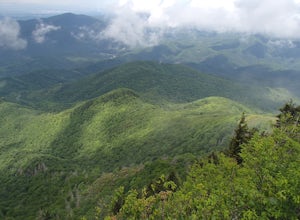
Exploring two legendary Cherokee sites: Judaculla Rock and Devil's Courthouse, North Carolina
5.00.9 mi / 258 ft gainJudaculla was an ancient Cherokee spirit being and giant. He ruled in western North Carolina in the traditional Cherokee homeland. Once while chasing some hunters, when he jumped to the ground, his hand hit a rock. You can still see the print on Judaculla Rock. It is the most elaborate piece of r...Read more -
Tuckasegee, North Carolina
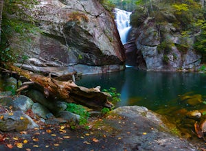
Paradise Falls
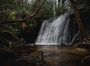
4.30.74 mi / 167 ft gainTo the north of Panthertown lies a chain of dammed lakes that are some of the most peaceful waters in Western North Carolina. These make up the headwaters of the East Fork of the Tuckasegee River. The gorges that run between the top lakes are wild, scenic, and adventurous to even the most experie...Read more -
Tuckasegee, North Carolina
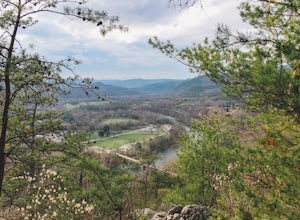
Hike to Cedar Cliff Rock
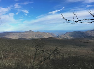
2.4 mi / 830 ft gainCedar Cliff Rock is one of those local places that exemplifies the Blue Ridge mountains oh-so-well. From the top you can see the Tuckaseegee River along with both Cedar Cliff and Bear Creek Reservoirs. While there are a few homes in between, much of the view is untouched, allowing a big mountain ...Read more -
Cherokee, North Carolina
Mingo Falls
4.20.22 mi / 148 ft gainAlthough it is not much of a hike at just 0.3 miles, it is accessible to people of all fitness levels. A climb up a series of stairs leads you to a trail overlooking Mingo creek. You will then find a 20 foot wide bridge which serves as the viewing platform of the falls. If you care to advent...Read more -
138 Silver Mine Road, North Carolina
Hike the Lovers Leap Loop Trail
5.01.8 mi / 472 ft gainLovers Leap Loop trail is a 1.8 mile loop in Hot Springs, NC. The address of the trailhead is 138 Silver Mine Rd, Hot Springs, NC 28743. Once you arrive at the parking lot, you will see a trail leading up into the mountain with a post next to it. This is where you want to begin. It is part of the...Read more -
Cosby, Tennessee
Hike to the Mount Cammerer Lookout Tower
4.510.99 mi / 3040 ft gainMost visitors have a vision of how they'd like to see Great Smoky Mountains National Park, and it typically involves climbing to the top of a mountain like 4,928-foot Mount Cammerer. This is a very strenuous hike involving a breathtaking amount of elevation gain along the rugged Low Gap and Appal...Read more -
Hendersonville, North Carolina
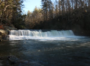
Hike to Hooker Falls
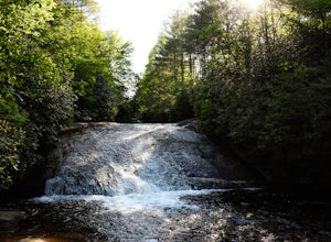
4.00.8 mi / 100 ft gainHooker Falls is located in Dupont State Forest in southern North Carolina. The hike is a great hike for kids to go on and to have a picnic. The waterfall is a beautiful waterfall that offers a great place to swim. Along the hike there are also other places you can see the river and you can swim a...Read more -
Little River, North Carolina
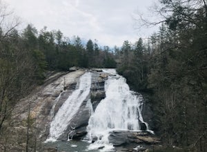
High Falls & Triple Falls
4.52.38 mi / 502 ft gainBoth falls provide ample open, flat rock right up next to the massive falls where you can picnic, take photos, or just lounge in the sun and mist. There are signs saying so, but be sure to be careful near the waters edge below the falls - swimming is not allowed as the current can be very strong....Read more -
Cherokee, North Carolina
Drive the Blue Ridge Parkway from the Southern Terminus
5.0The pinpoint for this particular entrance starts just outside of Cherokee, North Carolina, following the Parkway North. They say the Blue Ridge Parkway is more than just a road, it's a beautiful journey. Start this journey and you will quickly find this to be true. This 469 mile gateway connects...Read more -
Hartford, Tennessee
Whitewater Rafting the Pigeon River
5.0The Pigeon River is a dam controlled river that winds its way through North Carolina and Eastern Tennessee just outside Great Smoky Mountains National Park. The river provides beautiful views as one paddles along via raft or kayak. Cutting through portions of the Pisgah and Cherokee National For...Read more -
Fairview, North Carolina
Hike the Trombatore Trail to Blue Ridge Pastures
5.05 mi / 1350 ft gainPark along the road at Bearwallow Gap - this is also the parking area for Bearwallow Mountain. Starting at a little over 3600ft, the Trombatore Trail has been well marked by the Carolina Mountain Land Conservancy with red blazes. Parts of the trail border private land, so pay attention to the sig...Read more -
Hendersonville, North Carolina
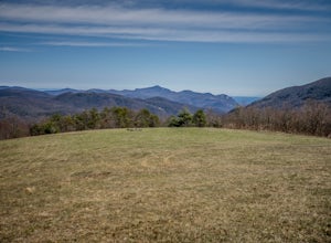
Hike to the Top of Bearwallow Mountain
5.02 mi / 583 ft gainOnce you have parked along the roadside near the trailhead, pass through the big gate on the right side of the road and take the trail off to the right. The trail winds up the mountain for a mile before it empties out onto the bald atop Bearwallow. Once on the bald, you can follow the gravel road...Read more -
Hot Springs, North Carolina
Camp at Rich Mountain Fire Tower
5.0Rich Mountain fire tower is located in the Cherokee National Forest just outside of Hot springs North Carolina. Getting there is pretty easy once you get off of US 25W you drive up a gravel road for about 5 miles until you get to the tower. Once you get to the top its about a 100 foot walk until ...Read more -
Glenville, North Carolina
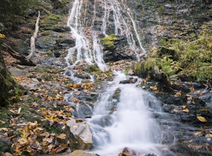
Hike to Frolictown Falls
1.5 mi / 350 ft gainThis is an awesome hike to do if you're short on time or have hours to kill. Because it is so easy to access, it doesn't take very long to get down to it and can be accessed by two separate trails. Both trails are well maintained, however, while there are some blazes, it is not heavily marked. Th...Read more -
Glenville, North Carolina
Hike to Granny Burrell Falls
2.4 mi / 440 ft gainPanthertown Valley has a unique system of trails, with each trail having a specific number. Some of the trails listed at the information hut in the parking lot are accessed by taking one or two other trails to get to the start of the trail you are seeking. That is the case when hiking to Granny B...Read more -
Glenville, North Carolina
Hike to Wilderness Falls
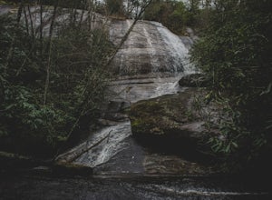
1.4 mi / 300 ft gainWilderness Falls offers a beautiful hike with a simple yet captivating falls. All of the maintained trails in Pantertown Valley are marked by a number system (there is an information hut in the parking lot with information about other local trails, distance of different trails, and emergency cont...Read more


