Candler, North Carolina
Looking for the best chillin in Candler? We've got you covered with the top trails, trips, hiking, backpacking, camping and more around Candler. The detailed guides, photos, and reviews are all submitted by the Outbound community.
Top Chillin Spots in and near Candler
-
Highlands, North Carolina
Explore Cullasaja Falls
5.00.3 mi / 200 ft gainThis is an awesome waterfall that offers views from several different spots along the road as well as a quick hike down to the base! The small pull-off area is located towards the top of the falls. There isn't much space (3 maybe 4 cars at a time), but there are additional pull-off areas further ...Read more -
Green Mountain, North Carolina
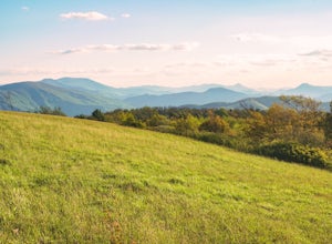
Hike to Beauty Spot Gap
5.02.13 mi / 1277 ft gainBeauty Spot Gap is located on the Appalachian Trail on the border of North Carolina and Tennessee. The bald offers a panoramic view of Cherokee National Forest and the city of Erwin. This is a popular destination for hikers of the AT to set up camp and watch the sunset. From the Tennessee side, t...Read more -
Highlands, North Carolina
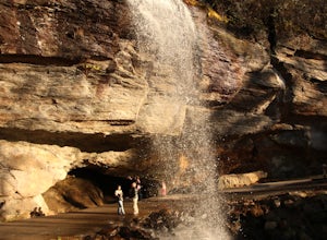
Photograph and Explore Bridal Veil Falls
Bridal Veil Falls is located directly off of the road and is about a 100 feet tall in total. The falls makes for a great place to take pictures under the water falls. The falls itself is small and flows constant all year long getting to the bottom of the falls is not recommended because it is dan...Read more -
Sevierville, Tennessee
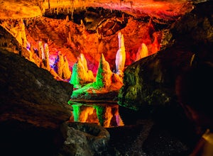
Spelunking in Forbidden Caverns
5.0When exploring all that Tennessee has to offer, it’s hard to ignore the fact it is home to more caves than any other state in America. So when picking one, of more than 10,000, to explore it is hard to go wrong. Forbidden Caverns happens to be one of the most popular spots and is only a few minut...Read more -
Bryson City, North Carolina
Explore Old 288 and the Lands Creek Bridge
2.51 miNC 288 was constructed in the 1920's, but did not last long with the construction of the Fontana Dam as the resulting lake covered the highway. The U.S. government entered an agreement in which they would provide a replacement road, but to this day it has not been completed and is know by locals ...Read more -
Mountain Rest, South Carolina
Hike to Kings Creek Falls
4.80.5 miThe trail to Kings Creek begins behind the bulletin board in the Burrells Ford primitive campground parking lot. It is an easy .5 mile trail to the falls. The falls are only 70ft high but they are beautiful, there is an area to the side of the falls with some nice sitting rocks and the area under...Read more -
Unicoi, Tennessee
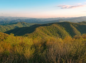
Camp at Unaka Mountain Overlook
4.00.1 miUnaka Mountain Overlook is one of the highest locations in the Cherokee National Forest. Easily accessibly by vehicle, the overlook towers over the surrounding mountains, including Beauty Spot Gap, and is an ideal spot to camp overnight. Take Rock Creek Road until you meet the border of North Car...Read more -
Linville, North Carolina
Take in the View at the Chestoa View Overlook
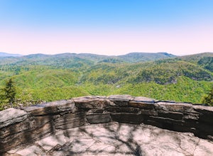
5.00.1 miChestoa View Overlook is an extremely short hike located down a pull-off at milepost 320 of the Blue Ridge Parkway. Park your vehicle in a designated spot then intercept the trail to the left of the lot. The trail will slowly descend down into a stone overlook. The panoramic view showcases the be...Read more -
Greenville, South Carolina
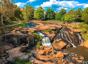
Hike Swamp Rabbit Trail to Reedy River Falls
4.53 mi / 100 ft gainSwamp Rabbit Trail is a 21 mile-long paved walkway that closely follows the Reedy River in Downtown Greenville. Over a half-a-million people visit the trail each year, but few ever walk the whole thing. What most people don’t know, is that it begins on a different river: the Enoree river and wind...Read more


