Blowing Rock, North Carolina
Looking for the best hiking in Blowing Rock? We've got you covered with the top trails, trips, hiking, backpacking, camping and more around Blowing Rock. The detailed guides, photos, and reviews are all submitted by the Outbound community.
Top Hiking Spots in and near Blowing Rock
-
Mouth of Wilson, Virginia
Rhododendron Trail to Rock Croppings
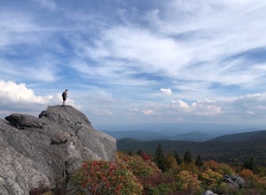
5.01.77 mi / 289 ft gainIn order to go when the Rhododendron are blooming you'll need to aim for the first three weeks of June. Starting from the Massies Gap parking area in the Grayson Highlands State Park, follow the trail through the field and towards the base of a large hill. You will see a fence that runs along t...Read more -
Mouth of Wilson, Virginia
Hike and Fish Cabin Creek Trail
5.01.8 mi / 400 ft gainStarting at the Massie Gap Parking Area follow the paved road down towards the woods. You will see a gravel dirt path off the side of the road to your right that heads back towards the woods. A couple steps down the trail you will see a metal pole with "Cabin Creek Trail" written on it. Follow th...Read more -
Mouth of Wilson, Virginia
Photograph Wild Horses at Grayson Highlands State Park
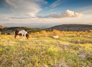
4.61.8 mi / 306 ft gainThe wild horses gather on top of the bald at the end of Horse Trail North located in Grayson Highlands State Park. Because they are wild, it is important to remember not to touch or feed the horses. The horses are accustomed to hikers and will allow you in their near proximity, but bring a zoom l...Read more -
Troutdale, Virginia
Hike the Appalachian Trail from Elk Garden to Buzzard Rock
5.06.6 mi / 1000 ft gainStarting at the Elk Garden Parking Area hike the Appalachian Trail south (do not cross the road, follow the trail from the parking area). Hike along the trail following the white blazes and at 2.4 miles you'll reach a campsite on your left. This is a great place to camp overnight if you decide to...Read more -
Mouth of Wilson, Virginia
Mount Rogers via Appalachian Trail
5.09.1 mi / 1549 ft gainFirst of all, who doesn't love wild ponies! There are tons of ponies here, and although they are wild, they are not afraid of people and you can get pretty close (just don't feed them!). Once you enter Grayson Highlands State Park, you will see a parking lot for Massie Gap a few miles in, par...Read more -
Mouth of Wilson, Virginia
Backpack the Grayson Highlands
4.89.1 mi / 1549 ft gainSpanning roughly 4500 acres, located in a portion of Jefferson National Forest, looming under the highest peak in Virginia lies the Grayson Highlands. A part of Virginia’s State Parks system and a United States National Landmark, located in Mouth of Wilson, Virginia, the Highlands are home to wil...Read more -
Mouth of Wilson, Virginia
Mount Rogers Loop
5.015.6 mi / 1079 ft gainFor an awesome 2-3 day trip, start hiking at the Massie Gap trailhead, which can be reached from Grayson Highlands State Park. Take the Rhododendron Trail up the ridge to connect with the AT, keeping an eye out for wild ponies in the Massie Gap area as they like to hang out here. Some of these po...Read more -
Bristol, Tennessee
Osceola Island Loop
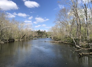
5.01.52 mi / 95 ft gainThe Osceola Island Loop is a 1.50 mile gravel loop on an island in the South Holston River. There are multiple benches along the loop to stop and observe the wildlife. Fishing is a common activity along the edge of the trail. There is a large parking area and bathrooms at the start of the trail.Read more -
Bristol, Tennessee
Emmett Trail
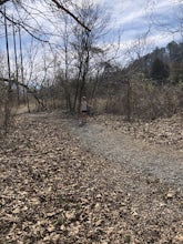
5.02.16 mi / 194 ft gainThe Emmett Trail is one of the TVA South Holston Tailwater Trails. This trail began as a footpath created by anglers. The trail now has gravel, which makes for easier access for families and pets. The trailhead begins on Piney Hill Road where it the traverses down to the waters edge and leads to ...Read more -
Bristol, Tennessee
Tailwater Trail
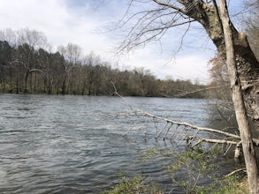
5.00.95 mi / 30 ft gainThe TVA Tailwater Trail is a 0.5 mile trail along the east side of South Fork Holston River. The trail is dirt and ends in an incline. Along the edge of the river, there are views of the distant Holston Mountain. This trail provides access to the river for fishing. It is located near the Emmett T...Read more -
Mouth of Wilson, Virginia
Stamper's Branch Trail
3.37 mi / 781 ft gainStamper's Branch Trail is an out-and-back trail that provides a good opportunity to view wildlife located near Mouth of Wilson, Virginia.Read more -
Unicoi, Tennessee
Appalachian Trail: Beauty Spot to Unaka Mountain
5.06.35 mi / 1654 ft gainAppalachian Trail: Beauty Spot to Unaka Mountain is an out-and-back trail that provides a good opportunity to view wildlife located near Green Mountain, North Carolina.Read more -
Connelly Springs, North Carolina
Sawtooth Campground via Chestnut Knob Trail
5.06.18 mi / 1299 ft gainThis 6.2-mile total trip will take you through the highlights of South Mountains State Park with an overnight stay in one of the drier campsites. OPTIONAL: You can get a warm-up in by starting with a 2.5-mile loop to High Shoal Falls that you can do without packs before picking up with a 3-mile...Read more -
Connelly Springs, North Carolina
High Shoals Falls
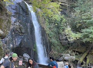
4.62.47 mi / 617 ft gainFrom the Jacob Fork parking area in South Mountains State Park, it is a short 1 mile walk over the Jacob River to the High Shoals Waterfall (80'). If you choose to continue past the observation deck, High Shoals Falls Trail (blue circle) climbs up above the waterfall, crossing the river. Keep rig...Read more -
Connelly Springs, North Carolina
High Shoals Waterfall and H.Q. Loop Trail
4.83 mi / 1043 ft gainHigh Shoals Waterfall and H.Q. Loop Trail is a loop trail that takes you by a waterfall located near Connelly Springs, North Carolina.Read more -
Connelly Springs, North Carolina
Chestnut Knob via River Trail
4.05.9 mi / 1115 ft gainThe journey begins at the Cicero Branch Parking Area along South Mountain Road, following Jacob Fork River Trail. The trail runs along the Fork before ascending Chestnut Knob. After completing the trail, you will find yourself on the highest peak of the South Mountain chain, where there are breat...Read more


