Barnardsville, North Carolina
Looking for the best photography in Barnardsville? We've got you covered with the top trails, trips, hiking, backpacking, camping and more around Barnardsville. The detailed guides, photos, and reviews are all submitted by the Outbound community.
Top Photography Spots in and near Barnardsville
-
Hampton, Tennessee
Hike and Traverse the Cables to Dennis Cove Falls
5.03.2 mi / 300 ft gainThe Hike to Dennis Cove Falls includes three water crossings and passes several small waterfalls. Sturdy cables spanning the width of the water crossings provide a fun way of traversing the creek without wading. It is completely possible to wade through the creek while holding onto the cables for...Read more -
Newport, North Carolina
Hike to Mouse Creek Falls
5.04.2 mi / 605 ft gainFollow Big Creek Trail on a moderate climb to this 45-foot waterfall. Around 1.3 miles in, you will begin to hike alongside Big Creek, and shortly afterwards you will pass Midnight Hole, a particularly deep pool. There are a number of other small falls en route. In spring you should see a number ...Read more -
Brevard, North Carolina
Hike to John Rock
5.05 mi / 1000 ft gainThis 5 mile loop begins at the Pisgah Center for Wildlife Education and State Fish Hatchery near Brevard, NC. Ample parking is available adjacent to the trailhead with bathrooms and water accessible. Grab a map from inside as well. To start the hike, look at the education center, to the left is t...Read more -
Elk Park, North Carolina
Elk River Falls
4.60.35 mi / 62 ft gainThe coordinates for the parking area are 36.198288, -81.970137. You'll see a parking area that's dirt/gravel on the right side of the road. At the far end of the parking lot is a sign that says Elk River Falls with an arrow pointing up the hill. From this point its about a .2 mile long walk to th...Read more -
Canton, North Carolina
Sam Knob and Flat Laurel Creek Loop
4.93.84 mi / 807 ft gainThis is one of my favorite quick "getaway" loops in the Pisgah Ranger District. Turn onto Black Balsam Knob Road (Mile Marker 420 on the Blue Ridge Parkway) go until you reach a dead end and park at the parking lot. You'll see the Sam Knob trail to the right of the public bathrooms. From there, i...Read more -
Canton, North Carolina
Tennent Mountain
5.03 mi / 285 ft gainPark at the Lot at the end of Black Balsam road, and start your morning in the dark, down the old dirt road at the end of the lot. Take this road until you get to Ivestor Gap and make a right onto the Art Loeb, try and time it so the sun is just about to rise here. Hike or trail run The Art Loeb ...Read more -
Haywood County, North Carolina
Black Balsam Knob via Art Loeb Trail
5.01.56 mi / 305 ft gainThe parking area for Black Balsam Knob is at mile marker 420.2 on the Blue Ridge Parkway. It's free to hike here. Take the Art Loeb Trail a half mile until you reach the knob. Along the way you will be walking almost entirely on the bald which is a very pleasant experience. You feel like you're ...Read more -
Linville, North Carolina
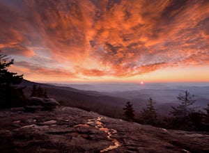
Rough Ridge via the Tanawha Trail from Beacon Heights
5.07.49 mi / 1280 ft gainIf you're feeling frisky, set your alarm for the early am and park at the Beacon Heights Parking area about 30 minutes before dawn. Put on your head lamp and hike the short trip to Beacon Heights, bask in the glory of the warm morning sun, then head back down and connect with the Tanawha Trail. A...Read more -
Canton, North Carolina
Photograph Sunburst Falls
This waterfall is right off the side of the road on NC 215. NC 215 is straight off of the blue ridge parkway and is just north of Brevard. The waterfall has to main parts one that is above the road and one that is below. The part below the road is the most scenic and the easiest to walk too. The ...Read more -
Hendersonville, North Carolina
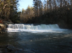
Hike to Hooker Falls
4.00.8 mi / 100 ft gainHooker Falls is located in Dupont State Forest in southern North Carolina. The hike is a great hike for kids to go on and to have a picnic. The waterfall is a beautiful waterfall that offers a great place to swim. Along the hike there are also other places you can see the river and you can swim a...Read more -
Newland, North Carolina
Beacon Heights Overlook
5.00.71 mi / 105 ft gainBeacon Heights is the perfect hike when you're on the Blue Ridge Parkway near Linville and Grandfather Mountain, Milepost 305.2. The trail is a steady climb uphill for less than a half mile. The last section being fairly steep and rocky. Once at the top, there are several rock outcroppings, but...Read more -
Little River, North Carolina
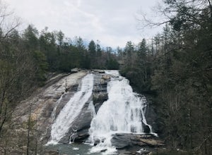
High Falls & Triple Falls
4.52.38 mi / 502 ft gainBoth falls provide ample open, flat rock right up next to the massive falls where you can picnic, take photos, or just lounge in the sun and mist. There are signs saying so, but be sure to be careful near the waters edge below the falls - swimming is not allowed as the current can be very strong....Read more -
Hartford, Tennessee
Whitewater Rafting the Pigeon River
5.0The Pigeon River is a dam controlled river that winds its way through North Carolina and Eastern Tennessee just outside Great Smoky Mountains National Park. The river provides beautiful views as one paddles along via raft or kayak. Cutting through portions of the Pisgah and Cherokee National For...Read more -
Linville, North Carolina
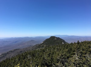
Profile Trail to Calloway Peak
5.06.2 mi / 2300 ft gainIf you're looking for a challenge and hoping to escape the crowds at Grandfather Mountain, this is the hike for you. Climbing up the back side of the mountain (opposite the famed mile-high swinging bridge) this trail is fee-free and easy-to-access with its own parking lot. The trail, marked w...Read more -
Balsam Grove, North Carolina
Devil's Courthouse
4.70.85 mi / 246 ft gainThe Devil's Courthouse Overlook and Trail can be one of the best places to see the entire Blue Ridge countryside. Even though it is a short hike, there is a fairly steep incline halfway through, so be prepared to huff and puff a little. It takes anywhere from 15 to 20 minutes depending upon your ...Read more -
Newport, Tennessee
Explore Halls Top Fire Tower
4.01 mi / 200 ft gainHalls Top Fire Tower is a special untouched spot in the Cherokee National Forest. The road that leads you into the CNF is known as Halls Top Road just a few miles off of Interstate I-40. This road will take you 4.4 miles to the next turn onto Stone Mountain Road this road is 2.1 miles to the gat...Read more

