Asheville, North Carolina
Looking for the best hiking in Asheville? We've got you covered with the top trails, trips, hiking, backpacking, camping and more around Asheville. The detailed guides, photos, and reviews are all submitted by the Outbound community.
Top Hiking Spots in and near Asheville
-
Glenville, North Carolina
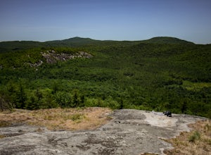
Hike to Blackrock Overlook
3 mi / 700 ft gainThis is probably one of my favorite hikes I've done in Panthertown Valley. Its also one of the easier views to access. You start from the Salt Rock Gap Parking lot, taking the Blackrock Trail (447) up Blackrock Mountain. This trail is located about 100 yards to the left if you are standing lookin...Read more -
Cherokee, North Carolina
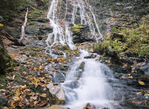
Mingo Falls
4.20.22 mi / 148 ft gainAlthough it is not much of a hike at just 0.3 miles, it is accessible to people of all fitness levels. A climb up a series of stairs leads you to a trail overlooking Mingo creek. You will then find a 20 foot wide bridge which serves as the viewing platform of the falls. If you care to advent...Read more -
Unicoi, Tennessee
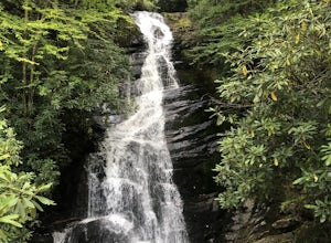
Red Fork Falls Trail
3.50.68 mi / 190 ft gainRed Fork Falls Trail is an out-and-back trail that takes you by a waterfall located near Unicoi, Tennessee.Read more -
Cosby, Tennessee
Maddron Bald - Albright Grove Loop
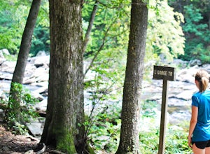
6.72 mi / 1500 ft gainHidden in the eastern reaches of Great Smoky Mountains National Park, the Cosby region receives a fraction of the visitation of Gatlinburg or Cherokee. This section of the park preserves some of the best deciduous old-growth forest in the eastern United States. Individual tulip trees and eastern ...Read more -
Sunset, South Carolina
Virginia Hawkins Falls (Double Falls)
4.02.6 mi / 456 ft gainA moderate to advanced 2.6 mile hike has many stairs and a lot of ascents and descents along the way. The hike may not be the easiest but the payoff is worth it. The trail is easily marked so no need to worry about getting lost.Read more -
Bakersville, North Carolina
Hiking from Carver's Gap to Hwy. 19 on the AT
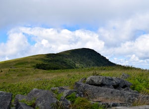
5.020.7 miThe AT from Carver's Gap to HWY 19 is about 14.5 miles, but with side adventures, it could be roughly 20 miles. The trail crosses the road and continues up about a 400 ft. elevation gain to the first of the balds. This section of the AT is beautiful at near 6000 ft. above sea level and you will g...Read more -
Lake Toxaway, North Carolina
Rainbow Falls and Turtleback Falls in Gorges SP
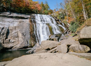
4.53.91 mi / 778 ft gainRainbow Falls is one of the most scenic waterfalls in North Carolina's Blue Ridge Mountains. The Horsepasture River swells in the rainy season, dumping a cascade of water 150 feet. The plume of mist at the bottom creates a distinct rainbow effect, giving the falls its name. Hike to Rainbow Falls ...Read more -
Newland, North Carolina
Hike the Conley Cove Trail into Linville Gorge
5.02.6 mi / 1200 ft gainFollow the gravel old 105 to the parking lot at the Rock Jock Trailhead. Follow this trail a short distance until it splits to the left for Conley Cove. The Conley Cove trail descends over 1,200 ft. into the Linville Gorge, providing a glimpse into the dense and wild Pisgah National Forest. Shor...Read more -
Bakersville, North Carolina
Cloudland Trail
5.02.46 mi / 276 ft gainCloudland Trail is an out-and-back trail offering up expansive views of the surrounding area especially from Roan Bluff. This trail is located near Bakersville, North Carolina. With minimal ups and downs, this makes for a decent family-friendly option. The trail is also dog friendly on-leash.Read more -
Morganton, North Carolina
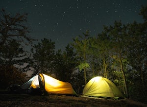
Camp at the Chimneys in the Linville Wilderness
5.01 mi / 138 ft gainThe Chimneys area is a lesser-known camping destination within the Linville Wilderness. The Chimneys are a series of rock formations that rise above Linville Gorge and provide unobstructed panoramic views of the gorge and surrounding mountains. These rocks sit adjacent to Table Rock which hosts w...Read more -
Morganton, North Carolina
Little Table Rock Trail
5.02.73 mi / 1148 ft gainLittle Table Rock Trail is an out-and-back trail where you may see beautiful wildflowers located near Morganton, North Carolina.Read more -
Morganton, North Carolina
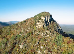
Hike to the Summit of Table Rock Mountain
4.62.2 mi / 572 ft gainOff of Highway 181, the trailhead is very clearly marked with a large parking lot. Although the trail is fairly short, make sure you have your footing, because the trail does switch back and forth in addition to gaining elevation -- it's pretty steep in some places! It's all worth it when you get...Read more -
Newland, North Carolina
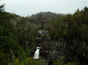
Linville Falls Trail
4.10.98 mi / 177 ft gainLinville falls is one of North Carolina's treasures and perhaps the most photographed water fall in the state. Bring the whole family out and explore the area surrounding the falls. There are about 4 total miles of trails meandering around and through the gorge and right up to the falls. There ar...Read more -
Bakersville, North Carolina
Appalachian Trail: Carvers Gap to Roan Mountain
5.06.98 mi / 1204 ft gainAppalachian Trail: Carvers Gap to Roan Mountain is an out-and-back trail near Bakersville, North Carolina. This trail is not too crowded, so don't be surprised if you're the only one taking in the view. Keep in mind the 1200+ foot climb along this trail if you're accustomed to hiking a longer dis...Read more -
Bakersville, North Carolina
Appalachian Trail: Carvers Gap to Yellow Mountain Barn
12.28 mi / 2720 ft gainAppalachian Trail: Carvers Gap to Yellow Mountain Barn is a loop trail where you may see beautiful wildflowers located near Bakersville, North Carolina.Read more -
Bakersville, North Carolina
Grassy Ridge Bald in the Roan Highlands
5.04.84 mi / 932 ft gainOnce you've parked at Carver's Gap (5500'), the trailhead is pretty easy to find. Simply cross the highway and jump onto the Appalachian Trail, right on the border of North Carolina and Tennessee. Head north on the AT as you head through the Roan Mountain Balds. In the very beginning of the hike,...Read more

