Stanfordville, New York
Looking for the best chillin in Stanfordville? We've got you covered with the top trails, trips, hiking, backpacking, camping and more around Stanfordville. The detailed guides, photos, and reviews are all submitted by the Outbound community.
Top Chillin Spots in and near Stanfordville
-
Grahamsville, New York
Swim at Peekamoose Blue Hole
3.8To get there: From Sundown, NY, head 10 miles on Route 42 until you see a large parking area on the right with a sign for the Peekamoose Mountain area. Follow the signs from the parking area to the creek. Swimming Hole Coordinates: (41.9182, -74.4215) You can cool off from NY's warm weather and d...Read more -
Big Indian, New York
Camp on Giant Ledge
4.51.5 mi / 975 ft gainGiant Ledge is a great hike in the Catskills if you are looking for something short, with incredible views, and camping options. There are not many hikes with better views then this in the Catskills, so why not spend as much time as possible up there? There are a few camping spots you can grab w...Read more -
Granby, Connecticut
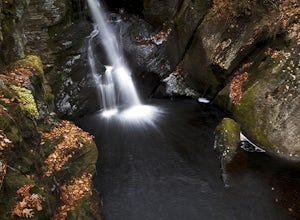
Hiking Enders Falls
4.0Enders State Forest sprawls over approximately 2000 acres, and is found within the towns of Granby and Barkhamsted in Connecticut. Enders has a good sized parking lot directly on Route 219. From the junction of Route 219 and Route 20, visitors will proceed west on Route 219 for 1.2 miles and tu...Read more -
Southington, Connecticut
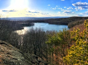
Hike the Crescent Lake & Metacomet Trail Loop
4.02.4 mi / 269 ft gainThe hike to view Crescent Lake is peaceful. You can either walk through the woods where you will be blessed with natures finest birds and wildlife or you can take the trail along the lake edge. Both are similar distances and lead to the same hill at the end! Once you get to the top take a left on...Read more -
Simsbury, Connecticut
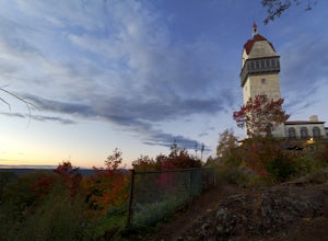
Hike to the Heublein Tower on Talcott Mountain
4.32.54 mi / 404 ft gainThe Heublien Tower Trail, located just inside the Talcott Mountain State Park entrance off of Route 185 in Simsbury CT, is a short 1.25 miles. While the hike isn't long, the first 1/3 of a mile is a steep incline that will get your heart pumping. The trail itself it very well kept, and although ...Read more -
Cheshire, Connecticut
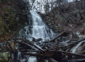
Hike to Roaring Brook Falls
1.2 mi / 377 ft gainArriving to the falls, parking is residential but don't worry everyone is friendly. Starting off the hike you will walk past a cool pond where you may be able to see some wildlife. Continuing on, you will follow the marked trail where it will take you further into the woods while gaining elevatio...Read more

