Keene, New York
Top Spots in and near Keene
-
Waverly, New York
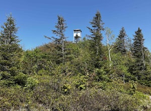
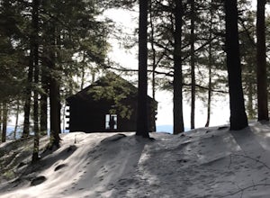
Azure Mountain Firetower
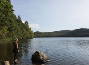
1.8 mi / 899 ft gainAzure Mountain Firetower is an out-and-back trail that takes you by a lake located near Saint Regis Falls, New York.Read more -
North Creek, New York
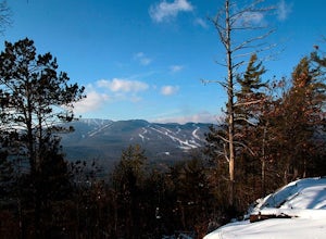
Hike Gore Mountain
5.010 mi / 3040 ft gainYou will start this hike following the blue blazed Schaefer trail. Though the sign shows 5.8 miles to the summit it is actually only 5.0 miles. Much of the way you follow Roaring Brook which has many waterfalls along the way. Just after the North Creek Reservoir you will get your first glance at...Read more -
Long Lake, New York
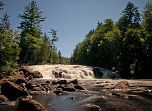
Buttermilk Falls
0.17 mi / 36 ft gainButtermilk Falls is an out-and-back trail that takes you by a waterfall located near Long Lake, New York.Read more -
Jericho, Vermont
Americana and Mobbs Hill Loop
4.02.83 mi / 515 ft gainAmericana and Mobbs Hill Loop is a loop trail that is moderately difficult located near Jericho, Vermont.Read more -
Salisbury, Vermont
Camp at Lake Dunmore
The campground office for Branbury state park is on the opposite side of Route 53 from the pin on the map here, but the best campsites are where the pin is. Start by going and talking to the rangers at the office, they are super friendly and very helpful for recommendations of hikes or things to...Read more -
Huntington, Vermont
Camel's Hump Summit via the Burrows Trail
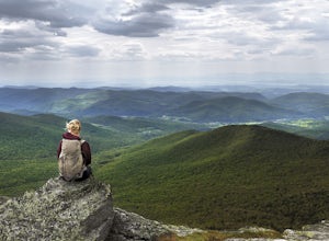
4.04.4 mi / 2228 ft gainThis adventure takes you up the Burrows Trail from the Huntington side of Camel's Hump. There are multiple trails to the summit, but this trail is the shortest. It is 2.4 miles to the summit with 2300' elevation gain. The trailhead is accessed from the aptly named Camel's Hump Road out of Huntin...Read more -
Duxbury, Vermont
Camel's Hump Summit via Monroe Trail
4.86.22 mi / 2572 ft gainYou'll begin your Monroe Trail hike at approximately 1500', parking in one of three designated gravel lots along Camel's Hump Road in Duxbury. This trail is 6.8 miles round trip, and gains approximately 2583' in elevation. It is located on the east side of the mountain. Much of your hike will ...Read more -
Indian Lake, New York
Hike Snowy Mountain Fire Tower
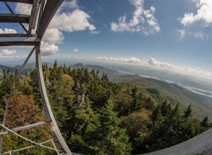
4.77.5 mi / 2142 ft gainSnowy Mountain is the largest mountain in this region of the Adirondacks, and with a 2100'+ elevation gain over the 3.5 mile ascent is actually more work than some of the famed High Peaks. Going north on Rt 30, the parking lot is marked as Snowy Mountain on the right hand side. If you make it to ...Read more -
Clemons, New York
Hike to Black Mountain in Lake George, NY
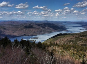
6.7 mi / 1046 ft gainBlack Mountain is located on the Eastern side of Lake George and is the tallest mountain above Lake George. The trailhead is located on Pike Brook Road (off from Hulett's Rd, Route 6) in Clemons, NY. The parking area is about one mile up Pike Brook Road, on the right.This hike to Black Mountain i...Read more -
Bolton, New York
Hike Cat & Thomas Mountains Preserve
5.05.8 miThere are a few ways to approach these two peaks. We chose to do a traverse using two vehicles.Starting at Edgecomb Pond Rd you will park along the road. There will be a sign and yellow discs directing you to the start of the trail. The first 0.4 miles is following a dirt road. You will then ...Read more -
Warren, Vermont
Explore Warren Falls
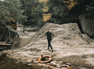
5.00.25 miWarren Falls is a popular local swimming hole just outside of Warren, VT on Route 100. You can access the falls by driving south on Route 100 from Warren (it's 3.5 miles south on the right hand side) or north from Granville on Route 100. The parking lot is clearly marked with a sign and ample par...Read more -
Fort Ann, New York
Hike Shelving Rock Mountain
3.4 mi / 650 ft gainThe trailhead for Shelving Rock Mountain has enough room for about five cars but additional parking can be found on the road leading to it. Be sure to sign the log book and begin the hike by passing around the "stop" car barrier.The trail starts off following a small stream (on your right) but yo...Read more -
Hancock, Vermont
Hike at Texas Falls Recreation Area
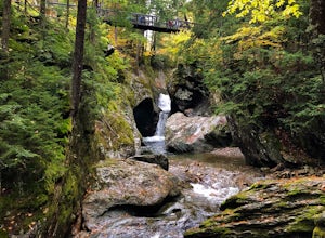
5.01 mi / 209 ft gainDirectly across from the main parking area are the viewing access points of Texas Falls. A footbridge crosses high above the flume and gorge, offering the best views. Crossing the bridge, there are plenty of other great view points with wooden railings keeping you away from the steep drops. ...Read more -
Granville, Vermont
Photograph Moss Glen Falls
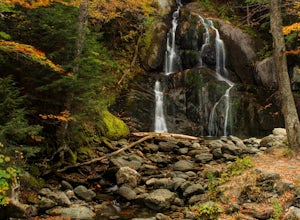
4.5While enjoying some of Vermont's most beautiful fall foliage along Route 100, be sure to stop and photograph Moss Glen Falls. Located approximately 3 miles outside of Granville, Vermont, Moss Glen can be found right along the roadside, making these falls easily accessible. There is a large parkin...Read more -
Fort Ann, New York
Hike to Shelving Rock Falls
1 mi / 50 ft gainThe hike to beautiful Shelving Rock Falls is only a half mile and well worth the side trip if visiting the east side of Lake George. Shelving Rock Road, the road to the parking area, is long, winding, and unpaved, but maintained pretty well and passable in a sedan. You'll want to take the road a...Read more

