Jay, New York
Top Spots in and near Jay
-
Long Lake, New York
Camp along Section 2 of the Northern Forest Canoe Trail
The Northern Forest Canoe Trail is a 740-mile paddling trail with the western terminus located in Old Forge, New York and the eastern terminus in Fort Kent, Main. Section Two is a 42.4 mile journey in the Adirondacks of New York from Long Lake to Saranac Lake. There are primitive campsites and ...Read more -
Long Lake, New York
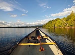
Canoe from Long Lake to Tupper Lake in the Adirondacks
This is a 3-4 day adventure that begins with part of the Northern Forest Canoe Trail. Rent a canoe at a local outfitter and make arrangements for your vehicle shuttle. They will drive your car to the end point of the adventure. A couple of options include St. Regis Canoe Outfitters and Raquette...Read more -
Long Lake, New York
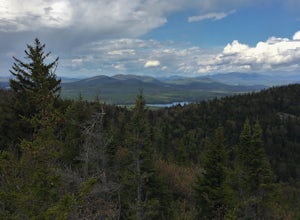
Hike to Owls Head Mountain Fire Tower in Sargent Ponds Wild Forest
5.06.2 mi / 1500 ft gainOwls Head Mountain is an Adirondack Fire Tower Mountain with an elevation of 2,812 feet. It is located in Long Lake in the Sargent Ponds Wild Forest and is a 6.2 mile out and back round trip hike. The trail head is located on Endion Ln, 2 miles north of the hamlet of Long Lake heading towards Tup...Read more -
Salisbury, Vermont
Camp at Lake Dunmore
The campground office for Branbury state park is on the opposite side of Route 53 from the pin on the map here, but the best campsites are where the pin is. Start by going and talking to the rangers at the office, they are super friendly and very helpful for recommendations of hikes or things to...Read more -
Indian Lake, New York
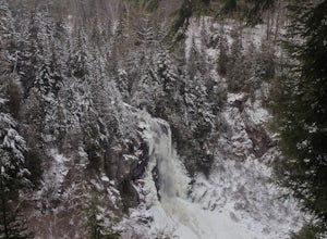
Hike to OK Slip Falls
5.06.4 miStarting at the parking area you will walk 0.2 miles west on Route 28 to the north side of the road to locate the marked trailhead. After signing the trail register you will follow the the red marked trail approximately 0.5 miles to the first junction. At the junction you will branch right and f...Read more -
Warren, Vermont
Explore Warren Falls
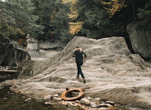
5.00.25 miWarren Falls is a popular local swimming hole just outside of Warren, VT on Route 100. You can access the falls by driving south on Route 100 from Warren (it's 3.5 miles south on the right hand side) or north from Granville on Route 100. The parking lot is clearly marked with a sign and ample par...Read more -
Cambridge, Vermont
Spruce Peak and Sterling Pond Loop
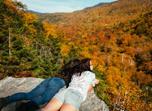
5.03.38 mi / 1204 ft gainIf you're in New England during September or early October, a drive up north into Vermont is an absolute must for prime fall foliage. I-89 brings you through the state from I-93, and is in itself a beautifully scenic drive. Stowe, Vermont is a small ski resort town located just outside of Mt. Man...Read more -
Stowe, Vermont
Mt. Mansfield via the Long Trail
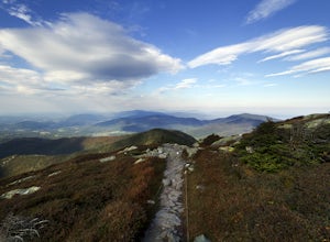
5.05.27 mi / 2743 ft gainThere are several options to reach the summit of Mount Mansfield. The Toll Road (which, appropriately, has a toll to use it), the Laura Cowles trail, the Sunset Ridge trail, Haselton Trail, the Hellbrook Trail… The most popular trail from the east side of the mountain, however, is the section o...Read more -
Cambridge, Vermont
Sterling Pond Trail
5.02.28 mi / 876 ft gainSterling Pond trail begins across the street from a parking area on Route 108, about 3 miles south of Smugglers' Notch Resort. Keep in mind that the road is closed to vehicles once the snow falls, so if you want to hike this area in the winter, you'll have to park about 40 minutes away and hike ...Read more -
Stowe, Vermont
Hike to Bingham Falls
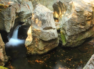
4.00.5 miHiking to Bingham Falls is rewarding for many reasons; people not only come to see the falls, but also to swim in the refreshing, icy cold swimming holes as well. The main falls are tucked away along the walls of a deep, rocky gorge that has been formed naturally over time. At the base of these ...Read more -
North Creek, New York
Hike Gore Mountain
5.010 mi / 3040 ft gainYou will start this hike following the blue blazed Schaefer trail. Though the sign shows 5.8 miles to the summit it is actually only 5.0 miles. Much of the way you follow Roaring Brook which has many waterfalls along the way. Just after the North Creek Reservoir you will get your first glance at...Read more -
Long Lake, New York
Buttermilk Falls
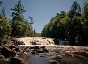
0.17 mi / 36 ft gainButtermilk Falls is an out-and-back trail that takes you by a waterfall located near Long Lake, New York.Read more

