Hopewell Junction, New York
Top Spots in and near Hopewell Junction
-
Stamford, Connecticut
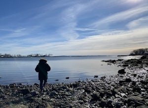
This trail is accessible year round and features water views of the Long Island Sound with beach access. The trail is a popular spot for walking, biking, fishing, and even bird watching. But if you’re not quite in the mood to get your steps in, you can use the small beach to sit and chat with a f...
Read more
-
Closter, New Jersey
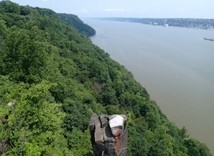
Starting at about 520 feet, the White path takes you along the Stateline Lookout which is a small stone building overlooking the Hudson River. The initial descent is your average hike through the woods and across a couple of wooden bridges until you reach the Giant Steps. The Giant Steps take you...
Read more
-
West Milford, New Jersey
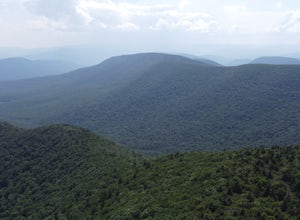
From Warwick Road, parking at the northernmost road side parking area, cross the road, and the Terrace Pond North trail (marked with blue blazes) begins as a steady climb until you gain a ridge that offers some great views for several miles. Eventually, you'll reach a power line where you turn ri...
Read more
-
Yonkers, New York
This trail traces the route of the Old Croton Aqueduct, which carried water to New York City between 1842 and 1955. Our recommended route starts near the Greystone Station in Yonkers, NY (Metro-North Hudson Line) and ends by the Scarborough Station, but you can easily modify your route – the enti...
Read more
-
Salisbury, Connecticut
4.5
6.05 mi
/ 1516 ft gain
At 2,316 feet, Bear Mountain is the highest peak in Connecticut. The peak is about a half-mile south of the Massachusetts state line on the Appalachian Trail. The views are great. On a clear day you can see some of the peaks in southern New Hampshire. The remnants of a stone tower are on the summ...
Read more
-
-
Vernon Township, New Jersey
4.8
6.8 mi
/ 1089 ft gain
This popular hike starts out on the Appalachian Trail (AT, white blazes). You begin on a boardwalk that crosses over a marsh, then you leave the boardwalk and enter a forested area. At around 1.4 miles, follow a bicycle path, Canal Road, then turn right, cross over a bridge, and take a left throu...
Read more
-
Rye, New York
4.0
1.55 mi
/ 125 ft gain
Located along the Long Island Sound, this 147-acre conservancy is home to a plethora of different birds, including marsh wrens, seaside sparrows, and American woodcocks. The conservancy has 3 miles of trails, all easy to navigate.
Starting out from the visitor's center, take the trail to the rig...
Read more
-
Closter, New Jersey
The easiest way to access this loop hike is by parking at the Palisades State Park Headquarters. This is just off exit 2 from the Palisades Interstate Parkway. Parking here is free and it is a short walk down a road to the Closter Dock Trail. The Closter Dock Trail is more of a wide fire road ...
Read more
-
Grahamsville, New York
To get there: From Sundown, NY, head 10 miles on Route 42 until you see a large parking area on the right with a sign for the Peekamoose Mountain area. Follow the signs from the parking area to the creek. Swimming Hole Coordinates: (41.9182, -74.4215)
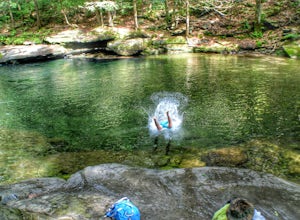
You can cool off from NY's warm weather and d...
Read more
-
Bridgeport, Connecticut
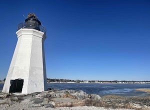
Parking is at the end of Barnum Road in the Seaside Park. Though the lighthouse grounds are accessible the tower itself is not open to the public.
To access the island you must walk across the breakwater. Please use caution as it is uneven footing and at times can be slippery.
From the isla...
Read more
-
Woodstock, New York
Sugarloaf Mountain, is one the 35 highest peaks in New York's Catskills at 3806 ft. There are many ways to approach this peak, and this is an out-and-back hike via Mink Hollow.
The parking area is located at the end of Milk Hollow Rd (42.10405386879072, -74.17148500019927). From here, get on the...
Read more
-
Elka Park, New York
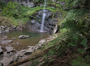
Just outside of Elka Park, New York, Plattekill Falls is accessible from Albany and New York City alike. This is a great hike for families and all skill levels. The falls are spectacular year-round, but the best time to visit is in the spring.
From the trailhead, walk left past the red house unt...
Read more
-
Mount Washington, Massachusetts
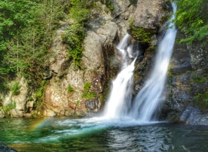
One of my favorite walks to a spectacular falls. The trail is easy to follow and one mile from NY parking lot and 0.5 from the parking lot. The apparent place to swim. There are several very nice, family safe swimmable pools in the creek above and after the falls. There are signs at the top of t...
Read more
-
Elka Park, New York
This is a 4.5 mile hike that is great for hikers of all skill levels. Because it is short and not overly difficult, beginners will enjoy this hike. There are some steep sections that will get your heart pumping, though, and a stunning payoff is waiting for you at the end.From the trailhead, follo...
Read more
-


