Highland Falls, New York
Looking for the best photography in Highland Falls? We've got you covered with the top trails, trips, hiking, backpacking, camping and more around Highland Falls. The detailed guides, photos, and reviews are all submitted by the Outbound community.
Top Photography Spots in and near Highland Falls
-
Beacon, New York
Malouf's Mountain Camp on Mt. Beacon
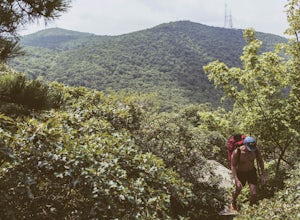
7.02 mi / 2087 ft gainStarting in the quaint town of Beacon there are a couple of options for hikes of varying difficulty. From the station the walk is about 1.5 miles to the trail heads, alternatively if you choose to stay the night at Malouf's Mountain Sunset Campground you can arrange for the host to meet you, take...Read more -
Beacon, New York
Hike the Scofield Ridge Loop
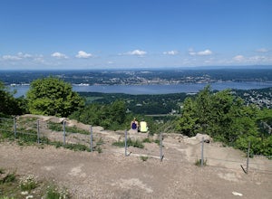
7.5 mi / 1850 ft gainThere are some great view points along this route. Start from the Mount Beacon Park trailhead parking area. This leads to the Casino Trail (red markers). The trail climbs steeply to some old ruins of a casino. Most of what remains is only the brick structure housing the mechanics for a trolle...Read more -
Hopewell Junction, New York
Beaver Pond via Appalachian Trail
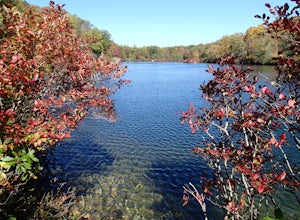
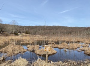
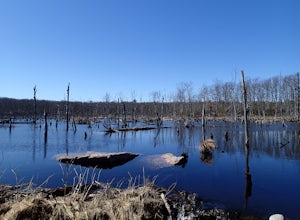
5.03 mi / 400 ft gainBeaver Pond is a small body of water created by a dam that was constructed during the days of iron ore mining in the area. The pond is crystal clear and has a wonderful tree line right on the water. The best time to visit here is early morning in the fall. With the leaves changing color they m...Read more -
Beacon, New York
Explore Long Dock and Dennings Point Parks
4.0Long Dock and Dennings Point are two of the most popular parks in Beacon, that just so happen to be connected by a train track turned trail. Plenty of parking is available at Long Dock, and its a perfect spot to picnic, launch your kayak into the Hudson, or cast your line hoping to reel in the bi...Read more -
Beacon, New York
Hike Fishkill Ridge
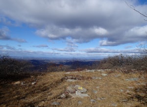
Fishkill Ridge is a strenuous but rewarding hike, and one of the less known areas in the Hudson Valley. The parking area is at the very end of Sunnyside Road in Beacon, along with the information board at the trailhead. The red trail leaves the lot and will take you up to the first peak on the ri...Read more -
Monroe, New York
Hike the Jessup/Highlands/Long Path Trails
7.8 mi / 500 ft gainThis trails starts at a small park in Woodbury called Gonzaga Park. Closed from mid-November to April, you are still able to park just outside the gate if that is the time of year you are hiking. Three different trail names share this path. The Jessup trail starts/end at Gonzaga Park and trave...Read more -
Carmel Hamlet, New York
Ninham Mountain Fire Tower
5.01.23 mi / 367 ft gainThis is more of a stroll than a hike, which is nice because you can add it to another hike in the same day if you're in the area. From the dirt parking lot take the trail off to the right. Just stay straight and in about 15 minutes you'll see a huge fire tower (hard to miss). Feel free to climb a...Read more -
Pound Ridge, New York
Leatherman's Loop
1.25 mi / 1183 ft gainThis loop trail is moderately rated and reaches a total elevation gain of approximately 1,183 feet. It’s located in the Ward Pound Ridge Reservation, which spans roughly 4,315 acres. It is Westchester County’s largest park and includes roughly 35 plus miles of hiking trails to explore. The Ward...Read more -
Ringwood, New Jersey
Explore Ringwood Manor State Park
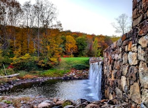
5.01.3 miOn my way to the drive-in, I saw a sign for Ringwood Manor estate and wanted to adventure around. The parking is easy and the property was beautiful!As we walked through the estate, we found:a quaint tree foresta small cemetery with headstones hundreds of years olda river with a small waterfall ...Read more -
West Milford, New Jersey
Hike the Terrace Pond North - South Loop
10.7 mi / 1200 ft gainFrom Warwick Road, parking at the northernmost road side parking area, cross the road, and the Terrace Pond North trail (marked with blue blazes) begins as a steady climb until you gain a ridge that offers some great views for several miles. Eventually, you'll reach a power line where you turn ri...Read more -
Closter, New Jersey
Hike Alpine White Trail (Stateline Lookout)
5.05 mi / -520 ft gainStarting at about 520 feet, the White path takes you along the Stateline Lookout which is a small stone building overlooking the Hudson River. The initial descent is your average hike through the woods and across a couple of wooden bridges until you reach the Giant Steps. The Giant Steps take you...Read more -
New Paltz, New York
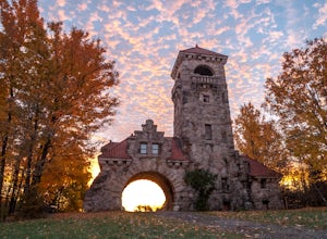
Hike Mohonk Preserve's Gatehouse to Skytop Tower
5.09 mi / 1268 ft gainBegin at the intersection of Gatehouse Rd and Mohonk Private Rd. There is a small shoulder to park on here. Begin hiking into the preserve along the gatehouse road. There will be signs stating you need a membership or pass to enter. Don't worry about these, there will be a place on the trail ...Read more -
New Fairfield, Connecticut
Hike Squantz Pond Trail
2.2 mi / 321 ft gainThe hike is rated as moderate and is accessible all year round. While it’s accessible during all seasons, the sights of the leaves changing colors in the autumn makes it an exceptionally beautiful time to do this hike. You’ll definitely want to snap some photos along the way of the foliage reflec...Read more -
3197 U.S. 44, New York
Hike to Sky Top via the Undercliff Road
7.3 mi / 900 ft gainStarting from the East Trapps parking area ascend the East Trapps connector trail marked with yellow blazes. You can also park at the Mohonk Preserve visitor center where you can purchase your access pass ($15 per person) and pick up a free map of the presere trails and carriage roads. The conn...Read more -
Gardiner, New York
Hike The Millbrook Mountain Ridge Trail
5.07 mi / 1400 ft gainWant to walk on the edge? visit Millbrook Mountain in the Catskills of NY. This loops hike follows the mountains ridge line most of the way to the summit with multiple viewpoints and cliff ledges to walk out on. This hike is recommended those in the area.Park at West Trapps Parking Lot and head ...Read more -
Gardiner, New York
Hike the Overcliff - Undercliff Road Loop
5.3 mi / 350 ft gainFrom the West Trapps parking lot ($15 for hikers), walk to the end of the parking lot and past a large kiosk. The trail connects the parking lot to the Overcliff Road/Undercliff Road junction. The loop can be done in either direction. I turned left on the Overcliff Road. This takes you behind...Read more

