Fort Ann, New York
Top Spots in and near Fort Ann
-
Wells, New York
Hike to Auger Falls
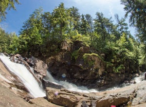
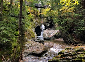
4.0Augers Falls is a not so well kept secret in the Wells/Speculator area of the Adirondacks. It's usually not very crowded but the people that go to take it in come from far and wide. It's an easy family friendly hike (and that includes furry family, just keep them on leash) that offers some fantas...Read more -
Salisbury, Vermont
Camp at Lake Dunmore
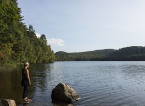
The campground office for Branbury state park is on the opposite side of Route 53 from the pin on the map here, but the best campsites are where the pin is. Start by going and talking to the rangers at the office, they are super friendly and very helpful for recommendations of hikes or things to...Read more -
285 Salmon Hole Lane, Vermont
Hike Hamilton Falls
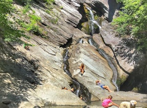
3.56.8 mi / 889 ft gainThe hike to Hamilton Falls is an enjoyable 6.8 miles roundtrip voyage through gorgeous forest scenery alongside a babbling brook. Be sure to visit the upper and lower falls! This trail is kid and dog friendly, so why not bring both?! If you are visiting the falls in the summer, bring a towel and ...Read more -
Indian Lake, New York
Hike to OK Slip Falls
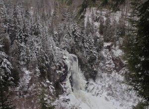
5.06.4 miStarting at the parking area you will walk 0.2 miles west on Route 28 to the north side of the road to locate the marked trailhead. After signing the trail register you will follow the the red marked trail approximately 0.5 miles to the first junction. At the junction you will branch right and f...Read more -
Woodford, Vermont
Woodford State Park Loop
2.41 mi / 203 ft gainA great loop for the summer, Woodford is also amazing when winter winter comes to the State Park. It also comes earlier than just about anywhere else in Southern Vermont. At 2,400 feet above sea level, this is an easy spot to find winter without spending a fortune at the local ski resorts. Woodfo...Read more -
Cropseyville, New York
Hike Dickinson Hill Fire Tower
4.53 mi / 200 ft gainOnce you drive onto N. Long Pond Road you will follow it appproximately 1.5 miles to the end. From the parking you can take the short walk back on the road to the start of the trail. The trail is actually a rough Fire Tower Road. You will follow this for about 1.3 miles. Here you will see a se...Read more -
Cohoes, New York
Capture a Sunset at the Colonie Town Park
5.0Not all adventures have to involve scaling crazy-steep mountains or paddling down intense white-water rapids. Some of the best adventures are the relaxing and mellow ones right in our backyards. When I cannot get into the woods every day, I go to the Colonie Town Park, just 10 minutes from my hou...Read more -
Speculator, New York
Paddle the Sacandaga and Kunjamuk Rivers to Elm Lake
The Sacandaga River is accessed via a hand launch at the Speculator Ball Field Parking Area in the town of Speculator, NY. Follow the Sacandaga River 1.5 miles until you reach Kunjamuk Bay. The Kunjamuk River begins further up the bay to the left. Approximately 4 miles up river is Elm Lake. Padd...Read more -
Gloversville, New York
Drive the Adirondack Trail Scenic Byway
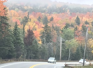
3.0This scenic byway starts in Fonda, NY and travels along Route 30 to Malone, NY. The area described and pictured here is a 65 mile stretch from Mayfield to Indian Lake. Starting in Mayfield you will head north driving past the Great Sacandaga Lake. Continuing through the town of Hope you will dr...Read more -
Hancock, Vermont
Hike at Texas Falls Recreation Area
5.01 mi / 209 ft gainDirectly across from the main parking area are the viewing access points of Texas Falls. A footbridge crosses high above the flume and gorge, offering the best views. Crossing the bridge, there are plenty of other great view points with wooden railings keeping you away from the steep drops. ...Read more -
Schenectady, New York
Hike the Lisha Kill Preserve Loop
5.02.3 mi / 324 ft gainThis 2.3 mile loop trail is lightly trafficked and great for all skill levels. Starting out the trail register, you will see signs from The Nature Conservancy which manages the preserve. Descending down a hill with lots of exposed tree roots, you will then cross over the meandering Lisha Kill and...Read more -
Indian Lake, New York
Hike Snowy Mountain Fire Tower
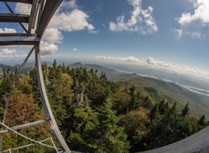
4.77.5 mi / 2142 ft gainSnowy Mountain is the largest mountain in this region of the Adirondacks, and with a 2100'+ elevation gain over the 3.5 mile ascent is actually more work than some of the famed High Peaks. Going north on Rt 30, the parking lot is marked as Snowy Mountain on the right hand side. If you make it to ...Read more -
Schenectady, New York
Hike Plotter Kill Preserve
4.35.5 mi / 820 ft gainThere are a few entries into the preserve' however, this hike has you entering off of Mariaville Road. There is a kiosk here and you will enter on the Red trail. Shortly after you can go out and back on the Blue trail to view the Upper and Lower Falls from lookouts above. Once back to the Red t...Read more

